Browse / Netherlands / South Holland / Barendrecht
Barendrecht
South Hollandtown

Barendrecht
Total population
48,344
Demographic figures from CBS Netherlands. Overview below cites Wikipedia and may reference a different year.
City facts
Sister cities
Facts from Wikidata (CC0).
Overview
Barendrecht is a town and municipality in the west of the Netherlands, near Rotterdam, South Holland. The municipality had a population of 48,643 in 2021, and covers an area of 21.73 km2 (8.39 sq mi) of which 1.98 km2 (0.76 sq mi) is water.
Read more on WikipediaHistory & geography
History
The name "Barendrecht" is derived from the Germanic word birni, translated as "mud" or "muddy", and the Latin word trāiectum translated as "to cross (a river)" to denote a muddy river crossing. The current municipality of Barendrecht is located in the area of three former fiefdoms: East-Barendrecht, West-Barendrecht, and Carnisse. The oldest reference to East-Barendrecht is from 1264. These fiefdoms were in Riederwaard, an area reclaimed from water since the 12th century but had to deal with frequent dike breaches throughout the 13th and 14th centuries. Further stages in land reclamation, constituting the major part of modern Barendrecht, were the Binnenland polder (1484), Buitenland polder (1555) and Zuidpolder (1649). During the French Period, the three fiefdoms were merged into one municipality Barendrecht. After the French Period, it was split into East and West-Barendrecht, but in 1836 it was again united as one municipality.
Geography
Municipalities are the lowest tier of public administration in the Netherlands. They are, however, further subdivided into districts (wijken) and neighbourhoods (buurten) for administrative use. Barendrecht is subdivided into 23 districts, of which 20 are residential, two rural and one all business parks combined. The latter three have the lowest population density and largest area of all districts. The district with the highest population is Meerwede in Vinex-location Carnisselande, this district also has the highest population density. {|class="wikitable collapsible collapsed plainrowheaders sortable" style="text-align: center;" |+Districts of Barendrecht ! scope="col" |District ! scope="col" |Population ! scope="col" |Population density ! scope="col" |Land area ! scope="col" |Water area ! scope="col" class=unsortable|Map |- ! scope="row" style="background-color:transparent"|Centre |align=center| | | | | |- ! scope="row" style="background-color:transparent"|North |align=center| | | | | |- ! scope="row" style="background-color:transparent"|Binnenland |align=center| | | | | |- ! scope="row" style="background-color:transparent"|Oranjewijk |align=center| | | | | |- ! scope="row" style="background-color:transparent"|Buitenoord |align=center| | | | | |- ! scope="row" style="background-color:transparent"|Ter Leede |align=center| | | | | |- ! scope="row" style="background-color:transparent"|Paddewei |align=center| | | | | |- ! scope="row" style="background-color:transparent"|Molenvliet |align=center| | | | | |- ! scope="row" style="background-color:transparent"|Nieuweland |align=center| | | | | |- ! scope="row" style="background-color:transparent"|Dorpzicht |align=center| | | | | |- ! scope="row" style="background-color:transparent"|Bijdorp |align=center| | | | |…
Excerpted from the corresponding Wikipedia article (CC BY-SA).
Geography
Coordinates & boundaries from the US Census TIGER/Line shapefiles.
Climate
Air quality
Walkability
Amenities nearby
Wildlife & biodiversity
Earthquake history
Photos
Sights & places nearby
Notable people from here


People born within ~10 km, from Wikidata (CC0). Click any name for their Wikipedia article.
Nearby places in South Holland
- Rijsoord2.5 mi away · pop. 2,995
- Bolnes3.1 mi away · pop. 7,740
- Heinenoord3.2 mi away · pop. 3,591
- Puttershoek3.8 mi away · pop. 6,910
- Oostendam4.3 mi away · pop. 605
- Hendrik-Ido-Ambacht4.3 mi away · pop. 29,730
- Mijnsheerenland4.5 mi away · pop. 4,486
- Krimpen aan den IJssel4.6 mi away · pop. 29,123
- Maasdam4.7 mi away · pop. 3,274
- Kinderdijk4.8 mi away · pop. 811
- Rhoon4.8 mi away · pop. 15,450
- Krimpen aan de Lek5.1 mi away · pop. 6,580
Geography & sun
Elevation, sunrise/sunset and daylight from Open-Meteo. Solar climatology from NASA POWER.
Nearby airports
Public attention
Pageview totals from the Wikimedia Pageviews API.
Books about this place
Recent natural events nearby
Ground air-quality sensors
Recently spotted species
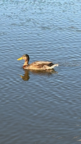
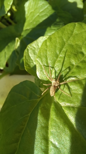
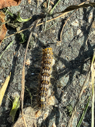
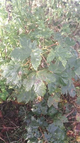
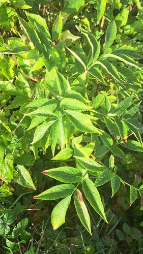
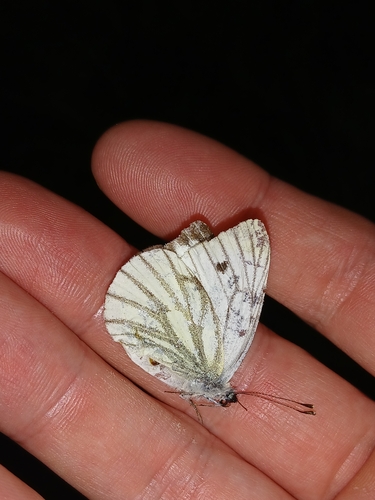

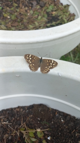
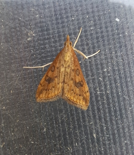
Research-grade observations from iNaturalist (within ~15 mi).
Events
Notable, recurring, and historical events associated with Barendrecht, sourced from Wikidata.
- Q27897162Oct 18, 2005sporting event
- Q27897063Jan 7, 2004sporting event
- Q25384254Jan 7, 1998sporting event
Source: Wikidata (CC0).
Gallery
Official Identifiers
CBS — Statistics Netherlands
- CBS code
- 0489
- Population (Wikidata)
- 48,643
- Wikidata
- Q204239
Gemeente codes via Wikidata P382
Sources
- • Wikipedia
- • Wikidata
- • iNaturalist
- • Open-Meteo / sunrise-sunset.org
- • Wikipedia Pageviews API
- • CBS — Statistics Netherlands, municipality code via Wikidata P382
- • CBS — Statistics Netherlands — Gemeente codes via Wikidata P382