Browse / Netherlands / South Holland / Voorhout
Voorhout
South Hollandvillage

Voorhout
Total population
15,620
Demographic figures from CBS Netherlands. Overview below cites Wikipedia and may reference a different year.
City facts
Facts from Wikidata (CC0).
Overview
Voorhout is a village and former municipality in the western Netherlands, in the province of South Holland. The former municipality covered an area of 12.59 km2 (4.86 sq mi) of which 0.33 km2 (0.13 sq mi) is covered by water, and had a population of 14,792 in 2004. Together with Sassenheim and Warmond, it became part of the Teylingen municipality on January 1, 2006. Voorhout is located in an area called the "Dune and Bulb Region".
Read more on WikipediaHistory & geography
History
In 1988 Voorhout celebrated its 1000th anniversary. A letter mentioning Voorhout from 988 states that count Dirk II of Holland granted the church of “Foranholte” (the old name of Voorhout) to Egmond Abbey. The second part of the name –holte or –hout (meaning “wood”) is a reference to the dune area that was supposedly very wooded at the time. Settlements arose around this area, and Voorhout arose in front of a forest. The nearby Noordwijkerhout also refers to this forest, just like Holland, which is a degeneration of Holtland, meaning woodland. The area was inhabited long before 988 with Roman coins having been found. In 1907 a farmer found 18 bronze axes and 1 chisel, about 3500 years old, at the Rijnsburgerweg. They are now on display in the Rijksmuseum van Oudheden in Leiden. Since 1150 the nobles of Teylingen took an important role in the area. Dutch Counts regularly met at Slot Teylingen. The most important inhabitant of the castle was Jacoba van Beieren. Voorhout still remained a small settlement. In 1514 there were only 40 recorded houses. In 1657 the Leidsevaart canal was dug, going from Haarlem to Leiden and Voorhout started to grow because of this. In 1842 the Haarlem-Leiden train line was opened and Voorhout got two halts, one in the hamlet of Piet Gijzenbrug near Noordwijk and another called Voorhout. In 1900 Voorhout had about 2000 inhabitants. After 1944 new roads were constructed and both stations closed for passenger transport. In 1960 about 5000 people lived in Voorhout. By 1988 that number had grown to 9360, the growth caused by the establishment of the new neighbourhood of Oosthout. In 1997 Voorhout got a train station again. More neighborhoods were constructed and the population continued to grow. On January 1, 2005, Voorhout had 14,919…
Excerpted from the corresponding Wikipedia article (CC BY-SA).
Geography
Coordinates & boundaries from the US Census TIGER/Line shapefiles.
Climate
Air quality
Walkability
Amenities nearby
Wildlife & biodiversity
Earthquake history
Photos
Sights & places nearby
Notable people from here
Nearby places in South Holland
- Sassenheim1.3 mi away · pop. 15,680
- Noordwijk2.1 mi away · pop. 25,867
- Noordwijkerhout2.7 mi away · pop. 14,423
- Oegstgeest2.8 mi away · pop. 23,608
- Kaag3 mi away · pop. 480
- Rijnsburg3.2 mi away · pop. 15,942
- Katwijk3.5 mi away · pop. 43,012
- Valkenburg3.9 mi away · pop. 5,567
- Oud Ade4 mi away · pop. 765
- Rijpwetering4.5 mi away · pop. 1,595
- Leiden4.5 mi away · pop. 123,753
- Hoogmade5.5 mi away · pop. 1,720
Geography & sun
Elevation, sunrise/sunset and daylight from Open-Meteo. Solar climatology from NASA POWER.
Nearby airports
Public attention
Pageview totals from the Wikimedia Pageviews API.
Books about this place
Recent natural events nearby
Ground air-quality sensors
Recently spotted species
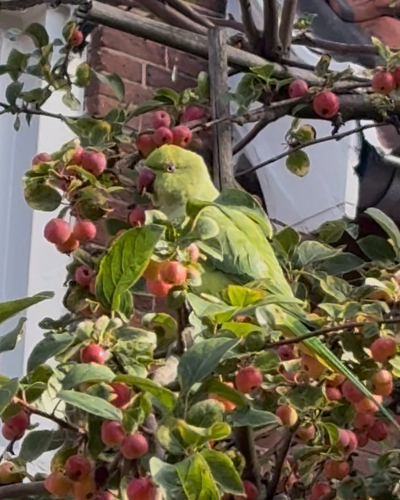
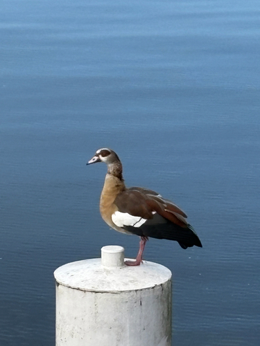
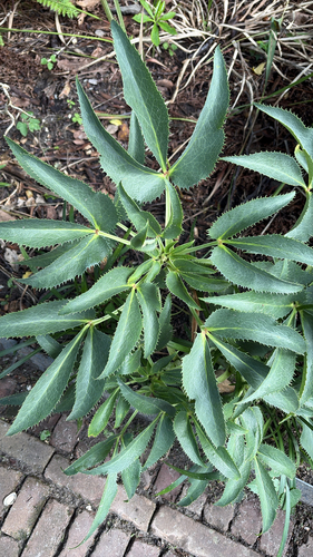
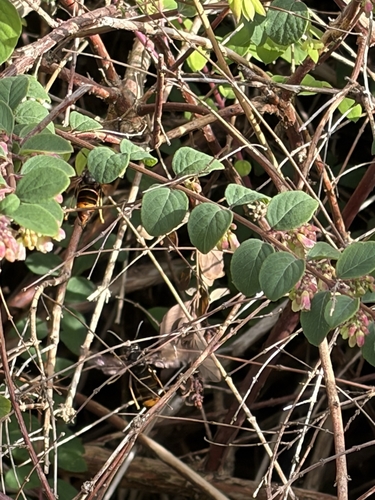
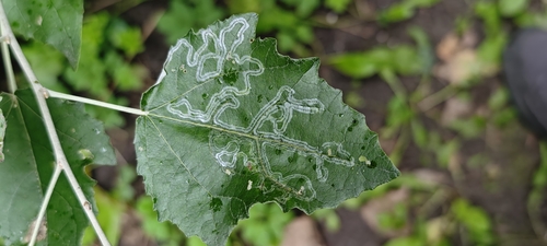
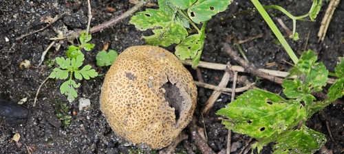
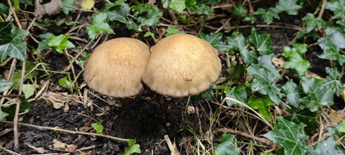
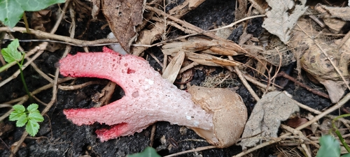
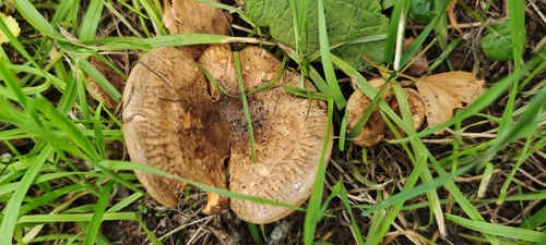
Research-grade observations from iNaturalist (within ~15 mi).
Events
Gallery
Official Identifiers
CBS — Statistics Netherlands
- CBS code
- 0625
- Population (Wikidata)
- 488
- Wikidata
- Q923574
Gemeente codes via Wikidata P382
Sources
- • Wikipedia
- • Wikidata
- • iNaturalist
- • Open-Meteo / sunrise-sunset.org
- • Wikipedia Pageviews API
- • CBS — Statistics Netherlands, municipality code via Wikidata P382
- • CBS — Statistics Netherlands — Gemeente codes via Wikidata P382