Browse / United States / New Mexico / Folsom
Folsom
New Mexicovillage

Folsom
Total population
11
Median home value
$0
Bachelor's+
Median income
$0
Demographic figures from US Census Bureau · ACS 5-year estimates. Overview below cites Wikipedia and may reference a different year.
City facts
Facts from Wikidata (CC0).
Overview
Folsom is a village in Union County, New Mexico, United States. As of the 2020 census, Folsom had a population of 51. The town was named from Frances Folsom, the fiancée of President Grover Cleveland.
Read more on WikipediaHistory & geography
History
Folsom gives its name to the nearby type site for the Folsom Tradition, a Paleo-Indian cultural sequence dating to between 11000 and 8000 BC. The Folsom site, about 8 miles west of the village, was excavated in 1926, and found to have been a marsh-side kill site or camp where 23 bison had been killed using distinctive tools, known as Folsom points. In the first half of the 19th century, the region was a hunting ground for Comanche, Ute, and Jicarilla Apache Indians. The first white settlement near Folsom was Madison, settled in 1864 and named for its founder, Madison Emery. In 1877, a post office was established. Madison became a ghost town in 1888 when the Colorado and Southern Railroad was completed and Folsom was established nearby on the railroad line. The train was held up three times near Folsom by Black Jack Ketchum and his gang. The final robbery in 1899 led to the capture and hanging of Ketchum. Folsom prospered in the early years, with the largest stockyards west of Fort Worth. Homesteaders moved in and attempted to farm, and the town reached a peak population of nearly 1,000. The area proved unsuitable for farming, though, because of drought, and large ranches soon replaced the small farms. The town suffered a blow from which it never recovered on August 27, 1908, when a massive rainstorm caused a devastating flood, which nearly destroyed the town and killed 18 people. (Flash flooding from the same storm also uncovered the bison bones that George McJunkin found in Dead Horse Arroyo, which later became known as the Folsom site.) A high school operated briefly in Folsom. Its only graduates were three students in 1931. In 1966, the elementary school at Folsom closed and the students transferred to the school in Des Moines, 8 miles away. Folsom has a post…
Geography
According to the United States Census Bureau, the village has a total area of , all land. Folsom is situated in a wide valley near the headwaters of the Cimarron River, locally known as the Dry Cimarron, as it runs underground during part of its course through eastern New Mexico. The village is ringed by buttes, mesas, and old volcanic cones and lava flows. Most of the valley is rich grassland, with a pinyon pine and juniper forest found on slopes and in rocky areas. Ponderosa pines are found in canyons and at higher elevations. Large ranches and cattle grazing are typical of the area, although some irrigated agriculture is found downstream from Folsom. Hunting for deer, bear, elk, pronghorn, and turkey is popular on local ranches. Capulin Volcano National Monument is located south of Folsom. Rising to above sea level, Capulin is the highest mountain near Folsom. Folsom Falls is about 3 miles northeast of the town, along New Mexico State Highway 456. The Cimarron River, only a small stream a few feet wide here, is stocked with trout annually. west of the city below Johnson Mesa is Wild Horse Arroyo, where in 1908, a cowboy named George McJunkin discovered the bones of an extinct bison. This archaeological find later proved ancient man had been in the Americas at least 10,000 years, far longer than earlier believed. Folsom is commonly called a "ghost town," as it has hardly any active businesses. Most community life centers around the Folsom Museum, established in 1966 in the Doherty Mercantile building. The museum, with a large collection of local artifacts, sponsors several events each year. It is open seven days a week between Memorial Day and Labor Day. Folsom's elevation moderates summer temperatures. July is the warmest month with an average high…
Excerpted from the corresponding Wikipedia article (CC BY-SA).
Demographics & economy
Race & ethnicity
Source: US Census Bureau — American Community Survey, 5-year estimates.
Geography
Coordinates & boundaries from the US Census TIGER/Line shapefiles.
Climate
Current forecast
Forecast for Folsom, NM from NOAA NWS API.
Air quality
Industrial & pollution facilities
Natural hazard risk
Health (adults)
Walkability
Amenities nearby
Wildlife & biodiversity
Most-observed species
- Common RavenCorvus corax Linnaeus, 1758 · Aves261
- Spotted TowheePipilo maculatus Swainson, 1827 · Aves207
- Turkey VultureCathartes aura (Linnaeus, 1758) · Aves163
- American RobinTurdus migratorius Linnaeus, 1766 · Aves124
- Woodhouse's Scrub-JayAphelocoma woodhouseii (S.F.Baird, 1858) · Aves122
- Chipping SparrowSpizella passerina (Bechstein, 1798) · Aves105
- Western MeadowlarkSturnella neglecta Audubon, 1844 · Aves105
- Prairie LizardSceloporus consobrinus Baird & Girard, 1854 · Squamata93
Citizen-science & research observations from the Global Biodiversity Information Facility (GBIF).
Schools
Largest nearby schools
- DES MOINES ELEMENTARYElementary · DES MOINES · 69 students · 8.6:1 ratio
- DES MOINES HIGHHigh · DES MOINES · 51 students · 8.5:1 ratio
Public K–12 schools within ~10 mi from Urban Institute Education Data Portal (NCES Common Core of Data, 2022).
Earthquake history
Most recent
- M 2.6 — 2026-08-0615 km SSE of Stonewall Gap, Colorado
- M 3.4 — 2026-07-2731 km S of Weston, Colorado
- M 3.7 — 2026-07-0632 km SSW of Segundo, Colorado
- M 3.8 — 2026-07-0633 km SSW of Segundo, Colorado
- M 3.1 — 2026-06-2518 km SSW of Weston, Colorado
- M 2.9 — 2026-06-2016 km SSE of Stonewall Gap, Colorado
Events from the USGS Earthquake Catalog (global) (FDSN Event Web Service).
Photos
Sights & places nearby
Notable people from here
Nearby places in New Mexico
Geography & sun
Nearby airports
Public attention
Books about this place
Recent natural events nearby
- Wildfire Post, Las Animas, ColoradoWildfires · 2026-08-11 · 32 mi
- Wildfire LAUGHLIN, Colfax, New MexicoWildfires · 2026-08-25 · 37 mi
- Wildfire Sheep Pen, Las Animas, ColoradoWildfires · 2026-08-12 · 38 mi
- Wildfire Rabbit Ear East, Union, New MexicoWildfires · 2026-08-24 · 49 mi
- Wildfire Rayado Mesa, Colfax, New MexicoWildfires · 2026-07-27 · 63 mi
- Wildfire Fowl, Harding, New MexicoWildfires · 2026-09-02 · 89 mi
- Wildfire 4V, San Miguel, New MexicoWildfires · 2026-08-29 · 93 mi
- Wildfire Brown, Oldham, TexasWildfires · 2026-08-09 · 114 mi
Wildfires, storms and other events from NASA EONET (last 12 months, within 250 mi).
Ground air-quality sensors
Recently spotted species
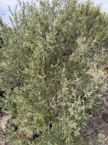
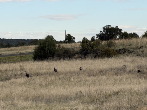
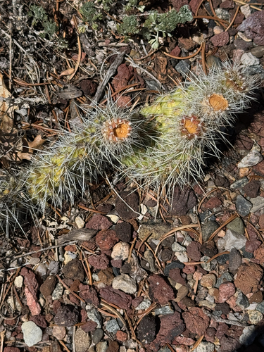
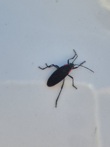
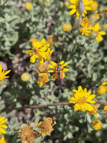
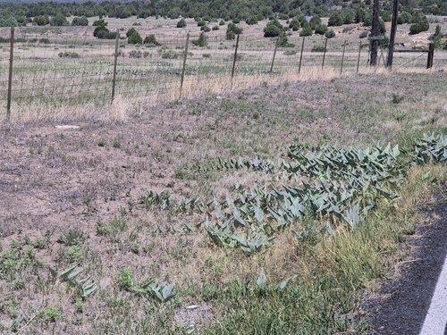
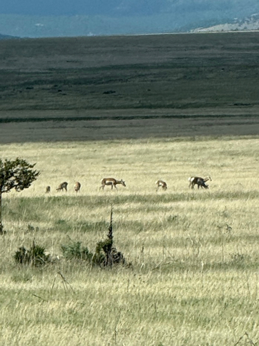
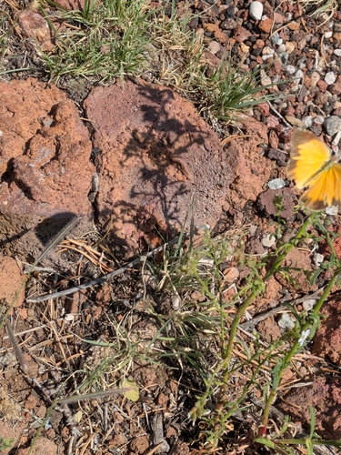
Research-grade observations from iNaturalist (within ~15 mi).
Nearest stream gauge
Events
Gallery
Sources
- • Wikipedia
- • US Census Bureau (ACS 5-year estimates)
- • NOAA National Weather Service
- • Wikidata
- • USGS Earthquake Catalog (global feed)
- • NCES via Urban Institute Education Data Portal
- • GBIF (Global Biodiversity Information Facility)
- • iNaturalist
- • NASA EONET