Browse / United States / New Mexico / Fruitland
Fruitland
New MexicoCDP
Total population
574
Median home value
$0
Bachelor's+
Median income
$142,750
Demographic figures from US Census Bureau · ACS 5-year estimates. Overview below cites Wikipedia and may reference a different year.
- Freeze Warning · SevereFreeze Warning issued October 16 at 12:00PM MDT until October 17 at 9:00AM MDT by NWS Albuquerque NM
Source: NOAA National Weather Service.
City facts
Facts from Wikidata (CC0).
Overview
Fruitland is an unincorporated community and Census-designated place in San Juan County, New Mexico, United States. As of the 2020 census, Fruitland had a population of 771. The community is on the north side of the San Juan River. It is immediately west of central Kirtland and north across the river from the Navajo Nation and Upper Fruitland. Fruitland is east of Waterflow.
Read more on WikipediaHistory & geography
History
The area now known as Fruitland was traditional Navajo territory. This place is called Bááh Díílid in Navajo. Euro-American settlers were allowed in 1877, and members of the Church of Jesus Christ of Latter-day Saints first settled in the area in 1878 and an organized group of settlers was sent there by the church in 1881 with Luther C. Burnham being prominent among them. Burnham was made bishop of the LDS ward there in 1883, which was named the Burnham Ward. From this time until the 1930s most of the residents called the area Burnham instead of Fruitland. For a time Brigham Young, Jr. maintained one of his residences at Fruitland. In 1930 the Burnham Ward had 718 members, including unbaptized children under age eight. The Young Stake was organized with headquarters at Burnham in 1912. By the 1970s the stake headquarters was Farmington. In 1982 a Kirtland Stake was formed, which today covers from Kirtland west to Shiprock, New Mexico, and beyond.
Excerpted from the corresponding Wikipedia article (CC BY-SA).
Demographics & economy
Race & ethnicity
Source: US Census Bureau — American Community Survey, 5-year estimates.
Geography
Coordinates & boundaries from the US Census TIGER/Line shapefiles.
Climate
Current forecast
Forecast for Fruitland, NM from NOAA NWS API.
Air quality
Industrial & pollution facilities
Natural hazard risk
Health (adults)
Age-adjusted prevalence estimates from CDC PLACES (latest release).
Walkability
Amenities nearby
Wildlife & biodiversity
Most-observed species
- House FinchHaemorhous mexicanus (P.L.Statius Müller, 1776) · Aves826
- Canada Goose (canadensis Group)Branta canadensis (Linnaeus, 1758) · Aves646
- MallardAnas platyrhynchos Linnaeus, 1758 · Aves629
- Spotted TowheePipilo maculatus Swainson, 1827 · Aves624
- Mourning DoveZenaida macroura (Linnaeus, 1758) · Aves605
- White-crowned SparrowZonotrichia leucophrys (J.R.Forster, 1772) · Aves566
- American RobinTurdus migratorius Linnaeus, 1766 · Aves547
- Common RavenCorvus corax Linnaeus, 1758 · Aves504
Citizen-science & research observations from the Global Biodiversity Information Facility (GBIF).
Schools
Largest nearby schools
- KIRTLAND CENTRAL HIGHHigh · KIRTLAND · 713 students · 16.6:1 ratio
- TIBBETTS MIDDLE SCHOOLMiddle · FARMINGTON · 683 students · 16.3:1 ratio
- JUDY NELSON ELEMENTARYElementary · KIRTLAND · 493 students · 13:1 ratio
- KIRTLAND MIDDLEMiddle · KIRTLAND · 430 students · 14.3:1 ratio
- KIRTLAND ELEMENTARYElementary · KIRTLAND · 396 students · 11.6:1 ratio
- OJO AMARILLO ELEMENTARYElementary · FRUITLAND · 303 students · 13.2:1 ratio
- KIRTLAND PRE-K EARLY CHILDHOOD CENTEROther · KIRTLAND
Public K–12 schools within ~10 mi from Urban Institute Education Data Portal (NCES Common Core of Data, 2022).
Earthquake history
Photos
Sights & places nearby
Notable people from here
People born within ~10 km, from Wikidata (CC0). Click any name for their Wikipedia article.
Nearby places in New Mexico
- Nenahnezad2.4 mi away · pop. 406
- Waterflow4.2 mi away · pop. 1,140
- Upper Fruitland4.4 mi away
- Sanostee33.8 mi away · pop. 214
- Crystal59.4 mi away · pop. 287
- Tohatchi65.3 mi away
- Becenti65.5 mi away · pop. 235
- Dulce78.5 mi away
- Ojo Encino80 mi away
- Black Hat83.2 mi away
- Williams Acres90.1 mi away · pop. 643
- Thoreau91.9 mi away · pop. 1,973
Geography & sun
Elevation, sunrise/sunset and daylight from Open-Meteo. Solar climatology from NASA POWER.
Nearby airports
Public attention
Pageview totals from the Wikimedia Pageviews API.
Books about Fruitland


Search results from Open Library.
Recent natural events nearby
- Wildfire Swiss Roll, Archuleta, ColoradoWildfires · 2026-08-20 · 99 mi
- Wildfire Frijoles, Santa Fe, New MexicoWildfires · 2026-08-05 · 153 mi
- Wildfire WHISKEY, Torrance, New MexicoWildfires · 2026-08-21 · 180 mi
- Wildfire 310, Garfield, ColoradoWildfires · 2026-08-06 · 188 mi
- Prescribed Fire D7 Arab RX, Apache, ArizonaWildfires · 2026-09-14 · 190 mi
- Prescribed Fire D7 Butler West RX, Apache, ArizonaWildfires · 2026-09-14 · 191 mi
- Prescribed Fire D7 Apprentice RX, Apache, ArizonaWildfires · 2026-09-14 · 194 mi
- Prescribed Fire D7 Rhoton Seep RX, Apache, ArizonaWildfires · 2026-09-14 · 196 mi
Wildfires, storms and other events from NASA EONET (last 12 months, within 250 mi).
Ground air-quality sensors
Recently spotted species
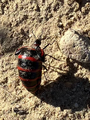
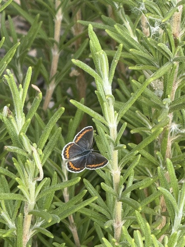
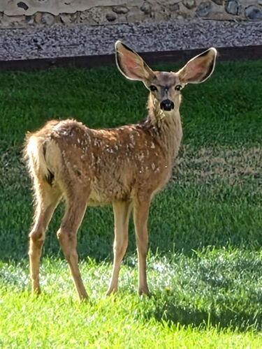
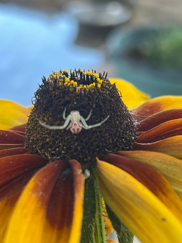
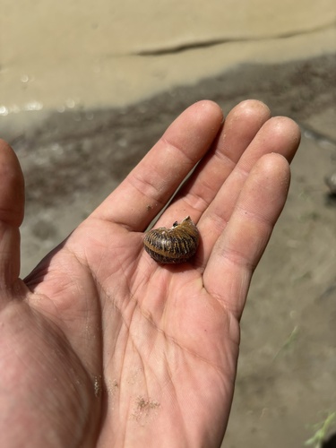
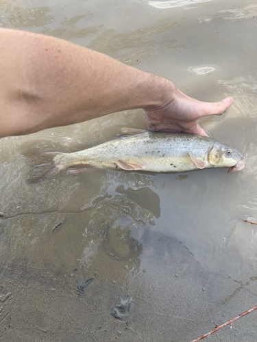
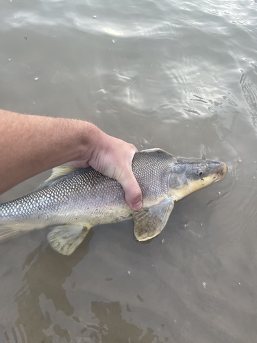
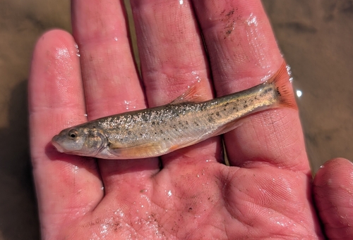
Research-grade observations from iNaturalist (within ~15 mi).
Nearest stream gauge
Events
Gallery
Sources
- • Wikipedia
- • US Census Bureau (ACS 5-year estimates)
- • NOAA National Weather Service
- • Wikidata
- • NCES via Urban Institute Education Data Portal
- • GBIF (Global Biodiversity Information Facility)
- • iNaturalist
- • CDC PLACES
- • Open-Meteo / sunrise-sunset.org
- • Wikipedia Pageviews API
- • Open Library
- • NASA EONET