Browse / United States / New Mexico / Lee Acres
Lee Acres
New MexicoCDP
Total population
4,272
Median home value
$187,400
Bachelor's+
Median income
$44,583
Demographic figures from US Census Bureau · ACS 5-year estimates. Overview below cites Wikipedia and may reference a different year.
- Flood Watch · SevereFlood Watch issued September 18 at 3:08AM MDT until September 19 at 12:00AM MDT by NWS Albuquerque NM
Source: NOAA National Weather Service.
City facts
Facts from Wikidata (CC0).
Overview
Lee Acres is a census-designated place in San Juan County, New Mexico, United States. As of the 2020 census, Lee Acres had a population of 4,170. It is located on U.S. Route 64 between Farmington and Bloomfield.
Read more on WikipediaHistory & geography
Demographics & economy
Race & ethnicity
Source: US Census Bureau — American Community Survey, 5-year estimates.
Geography
Coordinates & boundaries from the US Census TIGER/Line shapefiles.
Climate
Current forecast
Forecast for Lee Acres, NM from NOAA NWS API.
Air quality
Industrial & pollution facilities
Natural hazard risk
Health (adults)
Age-adjusted prevalence estimates from CDC PLACES (latest release).
Walkability
Amenities nearby
Wildlife & biodiversity
Most-observed species
- House FinchHaemorhous mexicanus (P.L.Statius Müller, 1776) · Aves1,429
- MallardAnas platyrhynchos Linnaeus, 1758 · Aves1,146
- American RobinTurdus migratorius Linnaeus, 1766 · Aves1,070
- Canada Goose (canadensis Group)Branta canadensis (Linnaeus, 1758) · Aves1,062
- Northern FlickerColaptes auratus (Linnaeus, 1758) · Aves878
- Spotted TowheePipilo maculatus Swainson, 1827 · Aves767
- Common RavenCorvus corax Linnaeus, 1758 · Aves758
- House SparrowPasser domesticus (Linnaeus, 1758) · Aves738
Citizen-science & research observations from the Global Biodiversity Information Facility (GBIF).
Schools
Largest nearby schools
- FARMINGTON HIGHHigh · FARMINGTON · 1,824 students · 17.9:1 ratio
- PIEDRA VISTA HIGHHigh · FARMINGTON · 1,578 students · 19:1 ratio
- BLOOMFIELD HIGHHigh · BLOOMFIELD · 777 students · 17.7:1 ratio
- HEIGHTS MIDDLE SCHOOLMiddle · FARMINGTON · 718 students · 16:1 ratio
- AZTEC HIGHHigh · AZTEC · 682 students · 15.9:1 ratio
- HERMOSA MIDDLE SCHOOLMiddle · FARMINGTON · 622 students · 14.8:1 ratio
- LADERA DEL NORTE ELEMENTARYElementary · FARMINGTON · 543 students · 16:1 ratio
- C.V. KOOGLER MIDDLEMiddle · AZTEC · 533 students · 14.4:1 ratio
Public K–12 schools within ~10 mi from Urban Institute Education Data Portal (NCES Common Core of Data, 2022).
Earthquake history
Photos
Sights & places nearby
Notable people from here
Nearby places in New Mexico
- Nenahnezad20.7 mi away · pop. 406
- Waterflow22.9 mi away · pop. 1,140
- Sanostee48.3 mi away · pop. 214
- Dulce61.2 mi away
- Becenti62 mi away · pop. 235
- Ojo Encino65.5 mi away
- Crystal69.6 mi away · pop. 287
- Tohatchi70.8 mi away
- Cuba77.3 mi away · pop. 462
- Red Rock Ranch88.5 mi away
- Thoreau88.9 mi away · pop. 1,973
- Black Hat89.7 mi away
Geography & sun
Elevation, sunrise/sunset and daylight from Open-Meteo. Solar climatology from NASA POWER.
Nearby airports
Public attention
Pageview totals from the Wikimedia Pageviews API.
Books about Lee Acres




Search results from Open Library.
Recent natural events nearby
- Wildfire Swiss Roll, Archuleta, ColoradoWildfires · 2026-08-20 · 85 mi
- Wildfire Frijoles, Santa Fe, New MexicoWildfires · 2026-08-05 · 135 mi
- Wildfire WHISKEY, Torrance, New MexicoWildfires · 2026-08-21 · 167 mi
- Wildfire 310, Garfield, ColoradoWildfires · 2026-08-06 · 189 mi
- Prescribed Fire D7 Arab RX, Apache, ArizonaWildfires · 2026-09-14 · 196 mi
- Prescribed Fire D7 Butler West RX, Apache, ArizonaWildfires · 2026-09-14 · 197 mi
- Prescribed Fire D7 Apprentice RX, Apache, ArizonaWildfires · 2026-09-14 · 200 mi
- Wildfire LAUGHLIN, Colfax, New MexicoWildfires · 2026-08-25 · 201 mi
Wildfires, storms and other events from NASA EONET (last 12 months, within 250 mi).
Ground air-quality sensors
Recently spotted species
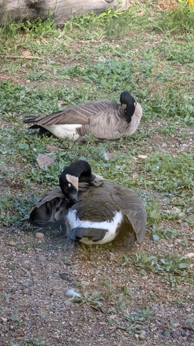
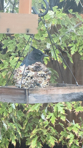
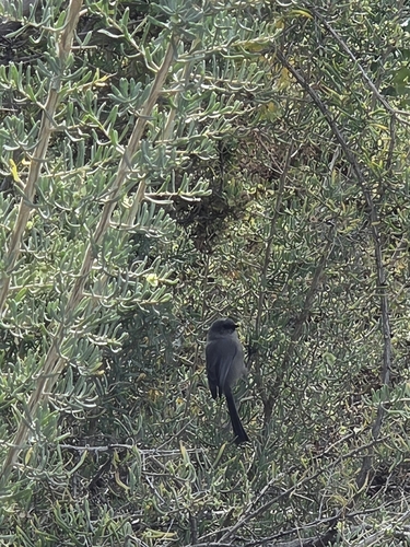
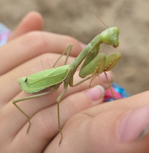
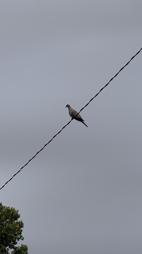
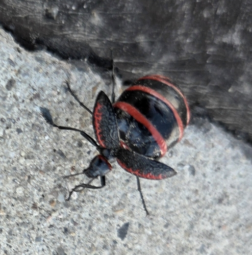
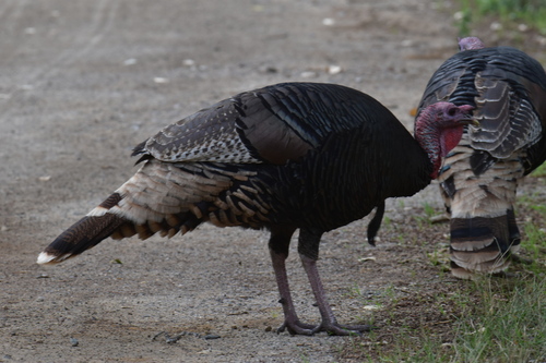
Research-grade observations from iNaturalist (within ~15 mi).
Nearest stream gauge
Live readings from USGS NWIS · measured 2026-10-19 16:45 UTC.
Events
Gallery
Sources
- • Wikipedia
- • US Census Bureau (ACS 5-year estimates)
- • NOAA National Weather Service
- • Wikidata
- • USGS NWIS (water data)
- • NCES via Urban Institute Education Data Portal
- • GBIF (Global Biodiversity Information Facility)
- • iNaturalist
- • CDC PLACES
- • Open-Meteo / sunrise-sunset.org
- • Wikipedia Pageviews API
- • Open Library
- • NASA EONET