Browse / United States / New Mexico / Roswell
Roswell
New Mexicocity

Roswell
Total population
47,638
Median home value
$152,600
Bachelor's+
Median income
$51,583
Founded
1869
Air quality index
Demographic figures from US Census Bureau · ACS 5-year estimates. Overview below cites Wikipedia and may reference a different year.
- Freeze Warning · SevereFreeze Warning issued October 16 at 12:00PM MDT until October 17 at 9:00AM MDT by NWS Albuquerque NM
Source: NOAA National Weather Service.
City facts
Facts from Wikidata (CC0).
Overview
Roswell is a city in and the county seat of Chaves County, New Mexico, United States. The population was 48,422 at the 2020 census, making it the fifth-most populous city in New Mexico. It is home to the New Mexico Military Institute (NMMI), founded in 1891. The city is also the location of an Eastern New Mexico University campus. Bitter Lake National Wildlife Refuge is located a few miles northeast of the city on the Pecos River. Bottomless Lakes State Park is located 12 miles (19 km) east of Roswell on US 380. Chaves County forms the entirety of the Roswell micropolitan area.
Read more on WikipediaHistory & geography
History
The first settlers were a group of pioneers from Missouri, who attempted to start a settlement southwest of what is now Roswell in 1865, but were forced to abandon the site because of a lack of water. It was called Missouri Plaza. It also had many Hispanic people from Lincoln, New Mexico. John Chisum had his famous Jingle Bob Ranch about from the center of Roswell, at South Spring Acres. At the time, it was the largest ranch in the United States. Van C. Smith, a businessman from Omaha, Nebraska, and his partner, Aaron Wilburn, constructed two adobe buildings in 1869 that began what is now Roswell. The two buildings became the settlement's general store, post office, and sleeping quarters for paying guests. In 1871, Smith filed a claim with the federal government for the land around the buildings, and on August 20, 1873, he became the town's first postmaster. Smith was the son of Roswell Smith, a prominent lawyer in Lafayette, Indiana, and Annie Ellsworth, daughter of U.S. Patent Commissioner Henry Leavitt Ellsworth. He called the town Roswell, after his father's first name. In 1877, Captain Joseph Calloway Lea and his family bought out Smith and Wilburn's claim and became the owners of most of the land of Roswell and the area surrounding it. The town was relatively quiet during the Lincoln County War (1877–1879). A major aquifer was discovered when merchant Nathan Jaffa had a well drilled in his back yard on Richardson Avenue in 1890, resulting in the area's first major growth and development spurt. The growth continued when the Pecos Valley Railroad arrived in 1892. During World War II, a prisoner-of-war camp was located in nearby Orchard Park, New Mexico. The German prisoners of war were used to do major infrastructure work in Roswell, such as paving the banks…
Geography
Roswell is located in the High Great Plains of southeastern New Mexico, approximately west of the Pecos River and some east of highlands that rise to the Sierra Blanca range. U.S. Routes 70, 285, and 380 intersect in the city. US 70 leads northeast to Clovis and west to Alamogordo; US 285 leads north to Santa Fe and south to Carlsbad; and US 380 leads east to Brownfield, Texas, and west to Socorro. According to the United States Census Bureau, the city has a total area of , of which, is land and , or 0.18%, is water.
Excerpted from the corresponding Wikipedia article (CC BY-SA).
Demographics & economy
Race & ethnicity
Source: US Census Bureau — American Community Survey, 5-year estimates.
Geography
Coordinates & boundaries from the US Census TIGER/Line shapefiles.
Climate
10-year averages from ERA5 reanalysis (Open-Meteo).
Current forecast
Forecast for Roswell, NM from NOAA NWS API.
Air quality
Current readings from Open-Meteo Air Quality API (Copernicus CAMS European reanalysis).
Industrial & pollution facilities
Natural hazard risk
Health (adults)
Age-adjusted prevalence estimates from CDC PLACES (latest release).
Walkability
Amenities nearby
Wildlife & biodiversity
Most-observed species
- MallardAnas platyrhynchos Linnaeus, 1758 · Aves2,599
- Mourning DoveZenaida macroura (Linnaeus, 1758) · Aves2,439
- Red-winged BlackbirdAgelaius phoeniceus (Linnaeus, 1766) · Aves2,417
- American CootFulica americana Gmelin, 1789 · Aves2,238
- House SparrowPasser domesticus (Linnaeus, 1758) · Aves2,062
- White-crowned SparrowZonotrichia leucophrys (J.R.Forster, 1772) · Aves2,003
- Great-tailed GrackleQuiscalus mexicanus (Gmelin, 1788) · Aves1,994
- Northern ShovelerSpatula clypeata (Linnaeus, 1758) · Aves1,925
Citizen-science & research observations from the Global Biodiversity Information Facility (GBIF).
Schools
Largest nearby schools
- ROSWELL HIGHHigh · ROSWELL · 1,438 students · 18:1 ratio
- GODDARD HIGHHigh · ROSWELL · 1,155 students · 19.3:1 ratio
- BERRENDO MIDDLEMiddle · ROSWELL · 663 students · 16.6:1 ratio
- SIERRA MIDDLEMiddle · ROSWELL · 627 students · 16.1:1 ratio
- MOUNTAIN VIEW MIDDLEMiddle · ROSWELL · 520 students · 20:1 ratio
- DEL NORTE ELEMENTARYElementary · ROSWELL · 509 students · 16.4:1 ratio
- VALLEY VIEW ELEMENTARYElementary · ROSWELL · 463 students · 16.5:1 ratio
- MESA MIDDLEMiddle · ROSWELL · 422 students · 15.6:1 ratio
Public K–12 schools within ~10 mi from Urban Institute Education Data Portal (NCES Common Core of Data, 2022).
Earthquake history
Most recent
- M 2.5 — 2026-10-1633 km SSE of Hope, New Mexico
- M 2.9 — 2026-10-0431 km SSE of Hope, New Mexico
- M 3.4 — 2026-09-2433 km SSE of Hope, New Mexico
- M 3.1 — 2026-06-0625 km WNW of La Huerta, New Mexico
- M 2.5 — 2026-06-0126 km SSE of Hope, New Mexico
- M 2.6 — 2026-05-3124 km SSW of Atoka, New Mexico
Events from the USGS Earthquake Catalog (global) (FDSN Event Web Service).
Photos
Sights & places nearby
Notable people from here


People born within ~10 km, from Wikidata (CC0). Click any name for their Wikipedia article.
Nearby places in New Mexico
- Morningside36.2 mi away · pop. 103
- Nogal69.1 mi away · pop. 80
- Fort Sumner79 mi away · pop. 938
- Corona86.2 mi away · pop. 168
- Tularosa88.4 mi away · pop. 2,597
- Hobbs90.9 mi away · pop. 40,252
- Boles Acres92.1 mi away · pop. 1,848
- Cannon AFB98.5 mi away · pop. 2,405
- Puerto de Luna100.8 mi away
- Encino103.1 mi away
- Grady121.8 mi away · pop. 99
- Deer Canyon124.1 mi away
Geography & sun
Elevation, sunrise/sunset and daylight from Open-Meteo. Solar climatology from NASA POWER.
Nearby airports
Public attention
Pageview totals from the Wikimedia Pageviews API.
Books about Roswell

Search results from Open Library.
Recent natural events nearby
- Wildfire CATO 2, Chaves, New MexicoWildfires · 2026-08-15 · 35 mi
- Wildfire WHISKEY, Torrance, New MexicoWildfires · 2026-08-21 · 141 mi
- Wildfire 4V, San Miguel, New MexicoWildfires · 2026-08-29 · 150 mi
- Wildfire Fowl, Harding, New MexicoWildfires · 2026-09-02 · 158 mi
- Wildfire Brown, Oldham, TexasWildfires · 2026-08-09 · 164 mi
- Wildfire Frijoles, Santa Fe, New MexicoWildfires · 2026-08-05 · 191 mi
- Wildfire Rustler, Motley, TexasWildfires · 2026-08-23 · 206 mi
- Wildfire LAUGHLIN, Colfax, New MexicoWildfires · 2026-08-25 · 218 mi
Wildfires, storms and other events from NASA EONET (last 12 months, within 250 mi).
Ground air-quality sensors
Recently spotted species
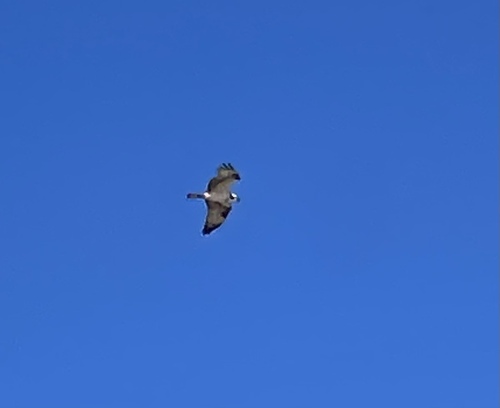
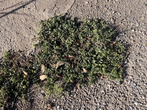
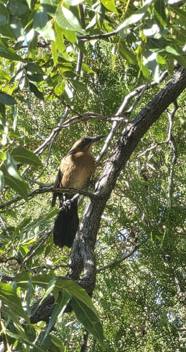
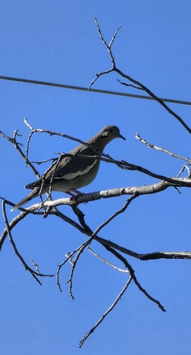
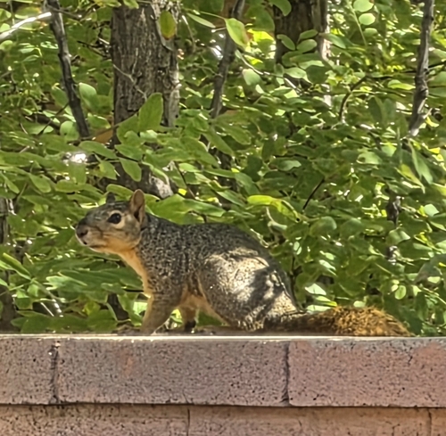
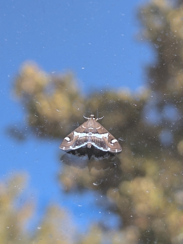
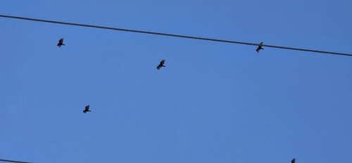
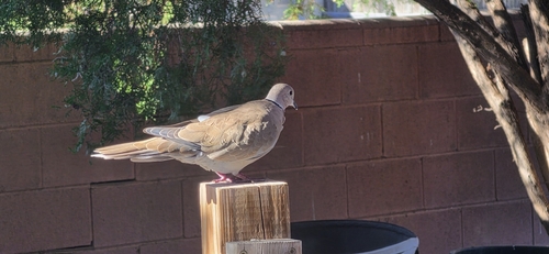
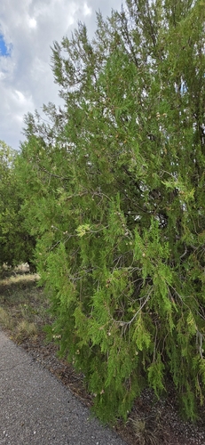
Research-grade observations from iNaturalist (within ~15 mi).
Nearest stream gauge
Events
Gallery
Sources
- • Wikipedia
- • US Census Bureau (ACS 5-year estimates)
- • Open-Meteo (ERA5 reanalysis)
- • NOAA National Weather Service
- • Wikidata
- • Open-Meteo Air Quality (CAMS)
- • USGS Earthquake Catalog (global feed)
- • NCES via Urban Institute Education Data Portal
- • GBIF (Global Biodiversity Information Facility)
- • iNaturalist
- • CDC PLACES
- • Open-Meteo / sunrise-sunset.org
- • Wikipedia Pageviews API
- • Open Library
- • NASA EONET