Browse / Norway / Rogaland / Avaldsnes
Avaldsnes
Rogalandvillage

Avaldsnes
Total population
2,876
Demographic figures from Statistics Norway (SSB). Overview below cites Wikipedia and may reference a different year.
City facts
Facts from Wikidata (CC0).
Overview
Avaldsnes is a village in Karmøy Municipality in Rogaland county, Norway. The village is located on the northeastern part of the island of Karmøy, along the Karmsundet strait, just south of the town of Haugesund. The 3.23-square-kilometre (800-acre) village has a population (2025) of 2,876 and a population density of 890 inhabitants per square kilometre (2,300/sq mi).
Read more on WikipediaHistory & geography
History
Avaldsnes is believed to have been named after the legendary King Augvald, who allegedly had his seat in the area surrounding the Karmsundet strait. It was here that there was an ancient centre of power at Avaldsnes. At this point, the shipping route is forced into a narrow passage that runs along Avaldsnes. It is likely this for this reason that such power and riches were generated through the ages. King Harald Fairhair chose Avaldsnes for his main royal estate in about 870 making it the oldest royal seat in Norway. According to legend, Olav Trygvason built Avaldsnes Church, apparently as a manor chapel for the king's residence. This would probably have been quite a small stave church. Construction of the present day church, called "St. Olav's Church of Avaldsnes" () was started approximately 1250 AD, on the order of King Håkon Håkonsson. It was not completed until nearly 1320. Dedicated to St. Olav, it was one of the greatest Norwegian stone churches from the Middle Ages and it was one of only four royal collegiate churches in Norway. The church was an important station of the Pilgrim's Route to Nidaros Cathedral which ran along the coast. "Written sources indicate that Avaldsnes was the predecessor of the later established Hansa kontor in Bergen", according to the website of the University of Vienna. The village was selected as the millennium site for Rogaland county.
Excerpted from the corresponding Wikipedia article (CC BY-SA).
Geography
Coordinates & boundaries from the US Census TIGER/Line shapefiles.
Climate
Air quality
Walkability
Amenities nearby
Wildlife & biodiversity
Earthquake history
Photos
Sights & places nearby
Notable people from here


People born within ~10 km, from Wikidata (CC0). Click any name for their Wikipedia article.
Nearby places in Rogaland
- Haugesund4.1 mi away · pop. 47,346
- Leidland66.2 mi away
- Kiikoinen605.8 mi away · pop. 1,263
- Jätinmaa607.6 mi away
- Myöntee608 mi away
- Äetsä608.6 mi away · pop. 2,156
- Pehula608.6 mi away
- Keikyä608.8 mi away
- Heinimaankulma609.7 mi away
- Munkinmaa611.2 mi away
- Pohjakylä613.3 mi away
- Vammala615.9 mi away · pop. 9,790
Geography & sun
Elevation, sunrise/sunset and daylight from Open-Meteo. Solar climatology from NASA POWER.
Nearby airports
Public attention
Pageview totals from the Wikimedia Pageviews API.
Books about this place
Recent natural events nearby
Ground air-quality sensors
Recently spotted species
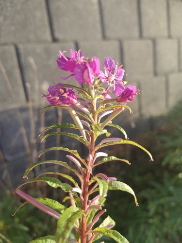
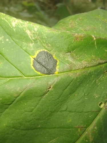
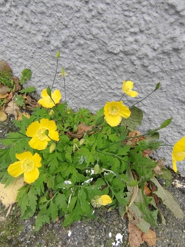
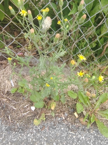
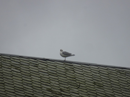
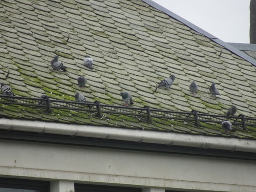
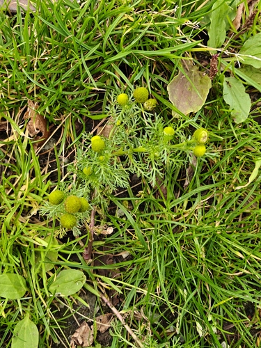
Research-grade observations from iNaturalist (within ~15 mi).
Events
Gallery
Official Identifiers
SSB — Statistics Norway
- Kommunenr
- 1147
- Population (Wikidata)
- 2,890
- Wikidata
- Q23042303
Kommunenummer via Wikidata P2504
Sources
- • Wikipedia
- • Wikidata
- • iNaturalist
- • Open-Meteo / sunrise-sunset.org
- • Wikipedia Pageviews API
- • Wikidata SPARQL (CC0) — population, area, elevation, inception, head of government, Commons image
- • SSB — Statistics Norway — Kommunenummer via Wikidata P2504