Browse / Norway / Rogaland / Skudeneshavn
Skudeneshavn
Rogalandtown

Skudeneshavn
Total population
3,360
Demographic figures from Statistics Norway (SSB). Overview below cites Wikipedia and may reference a different year.
City facts
Overview
is a town in Karmøy Municipality in Rogaland county, Norway. It is located on the southernmost tip of the island of Karmøy at the entrance to the Boknafjorden and Karmsundet strait. The town is part of the traditional district of Haugaland and the Haugesund Region, a statistical metropolitan area. The town was an independent municipality due to its status as a ladested from 1858 until 1965.
Read more on WikipediaHistory & geography
History
The village of Skudeneshavn was declared to be a ladested (port town) on 10 February 1858. Since towns were not allowed to be part of a rural municipality, Skudeneshavn was removed from Skudenes Municipality, and established as its own urban municipality. Initially, Skudeneshavn Municipality had 1,209 residents. During the 1960s, there were many municipal mergers across Norway due to the work of the Schei Committee. On 1 January 1965, the town-municipality of Skudeneshavn was merged into the newly formed Karmøy Municipality (along with Skudenes Municipality, Avaldsnes Municipality, Stangaland Municipality, Torvastad Municipality and the town of Kopervik). Prior to the merger, Skudeneshavn Municipality had 1,275 residents. At the time of the merger, Skudeneshavn lost its status as a town (ladested). In 1996, after the law on towns had been changed, Karmøy Municipality declared Skudeneshavn to be a town once again. The town (originally the municipality and parish) is named after the Skudenes peninsula () at the south end of the island of Karmøy. The first element is the genitive case of which means "rock wall that is sticking out", referring to the rocky islets and skerries that lie just off the shore of the peninsula. The second element is which means "headland". The last element is which means "harbor" or "port".
Excerpted from the corresponding Wikipedia article (CC BY-SA).
Geography
Coordinates & boundaries from the US Census TIGER/Line shapefiles.
Climate
Air quality
Walkability
Amenities nearby
Wildlife & biodiversity
Earthquake history
Photos
Sights & places nearby
Notable people from here


People born within ~10 km, from Wikidata (CC0). Click any name for their Wikipedia article.
Nearby places in Rogaland
- Haugesund18.2 mi away · pop. 47,346
- Leidland53.7 mi away
- Kiikoinen611.8 mi away · pop. 1,263
- Jätinmaa613.7 mi away
- Myöntee614 mi away
- Äetsä614.3 mi away · pop. 2,156
- Pehula614.3 mi away
- Keikyä614.5 mi away
- Heinimaankulma615.4 mi away
- Munkinmaa616.8 mi away
- Pohjakylä619.3 mi away
- Vammala621.7 mi away · pop. 9,790
Geography & sun
Elevation, sunrise/sunset and daylight from Open-Meteo. Solar climatology from NASA POWER.
Nearby airports
Public attention
Pageview totals from the Wikimedia Pageviews API.
Books about this place
Recent natural events nearby
Ground air-quality sensors
Recently spotted species
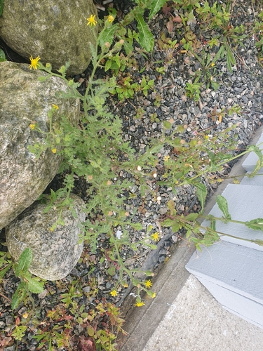
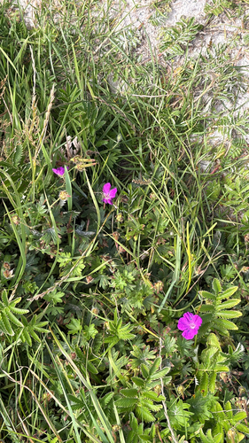

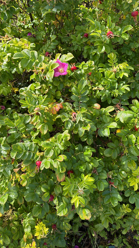
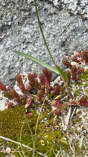
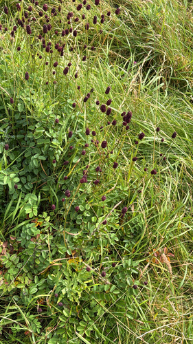
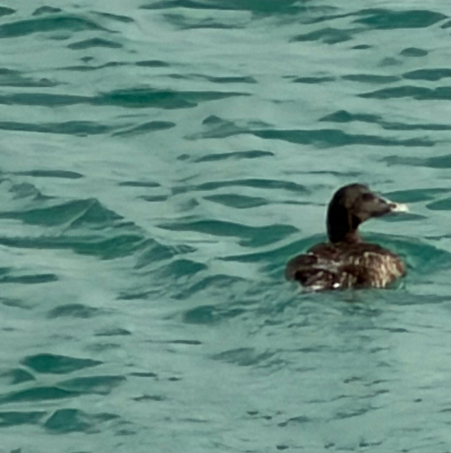
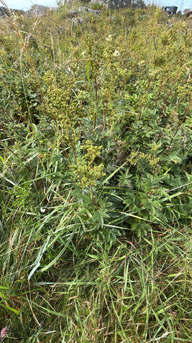
Research-grade observations from iNaturalist (within ~15 mi).
Events
Gallery
Official Identifiers
SSB — Statistics Norway
- Kommunenr
- 1104
- Wikidata
- Q63168038
Kommunenummer via Wikidata P2504
Sources
- • Wikipedia
- • Wikidata
- • iNaturalist
- • Open-Meteo / sunrise-sunset.org
- • Wikipedia Pageviews API
- • Wikidata SPARQL (CC0) — population, area, elevation, inception, head of government, Commons image
- • SSB — Statistics Norway — Kommunenummer via Wikidata P2504