Browse / United States / Ohio / Sardis
Sardis
OhioCDP

Sardis
Total population
427
Median home value
$114,000
Bachelor's+
Median income
$62,866
Demographic figures from US Census Bureau · ACS 5-year estimates. Overview below cites Wikipedia and may reference a different year.
- Flood Watch · SevereFlood Watch issued September 21 at 1:31AM EDT until September 21 at 12:00PM EDT by NWS Pittsburgh PA
Source: NOAA National Weather Service.
City facts
Facts from Wikidata (CC0).
Overview
Sardis is an unincorporated community and census-designated place (CDP) in southeastern Lee Township, Monroe County, Ohio, United States. It has a post office with the ZIP code of 43946. As of the 2020 census, it had a population of 522.
Read more on WikipediaHistory & geography
History
Among the early settlers in this area was Major Earl Sproat, one of the 48 members of the Ohio Company. The Ohio Company founded Marietta, the first permanent settlement in the Northwest Territory in 1788. The village of Sardis was laid out by James Patton in 1843. Students from Sardis attend River Elementary and River High School in nearby Hannibal, and are served by the Switzerland of Ohio Local School District. This school is shared with other nearby riverfront communities, including Antioch, Duffy, Fly, Hannibal, Laings, Powhatan Point (of neighboring Belmont County), and Clarington.
Geography
Sardis is at the intersection of Ohio State Routes 7 and 255, lying between Duffy and Fly. The community is bordered to the south by the Ohio River, which is the West Virginia state line. State Route 7 leads north (upriver) to Hannibal and southwest (downriver) to Matamoras. Woodsfield, the Monroe county seat, is to the northwest via state routes 255 and 26. According to the U.S. Census Bureau, the Sardis CDP has a total area of , all land.
Excerpted from the corresponding Wikipedia article (CC BY-SA).
Demographics & economy
Race & ethnicity
Source: US Census Bureau — American Community Survey, 5-year estimates.
Geography
Coordinates & boundaries from the US Census TIGER/Line shapefiles.
Climate
Current forecast
Forecast for Sardis, OH from NOAA NWS API.
Air quality
Industrial & pollution facilities
Natural hazard risk
Health (adults)
Age-adjusted prevalence estimates from CDC PLACES (latest release).
Walkability
Amenities nearby
Wildlife & biodiversity
Most-observed species
- American CrowCorvus brachyrhynchos C.L.Brehm, 1822 · Aves342
- Song SparrowMelospiza melodia (A.Wilson, 1810) · Aves333
- Northern CardinalCardinalis cardinalis (Linnaeus, 1758) · Aves330
- American RobinTurdus migratorius Linnaeus, 1766 · Aves318
- Canada Goose (canadensis Group)Branta canadensis (Linnaeus, 1758) · Aves285
- Carolina WrenThryothorus ludovicianus (Latham, 1790) · Aves245
- European StarlingSturnus vulgaris Linnaeus, 1758 · Aves242
- Blue JayCyanocitta cristata (Linnaeus, 1758) · Aves235
Citizen-science & research observations from the Global Biodiversity Information Facility (GBIF).
Schools
Earthquake history
Most recent
- M 2.9 — 2025-05-093 km S of Pleasant City, Ohio
- M 2.8 — 2025-04-291 km SE of Pleasant City, Ohio
- M 3.1 — 2025-04-243 km S of Pleasant City, Ohio
- M 3.1 — 2025-04-223 km ESE of Buffalo, Ohio
- M 2.8 — 2025-02-030 km NE of Reno, Ohio
- M 2.5 — 2024-09-114 km WNW of Claysville, Pennsylvania
Events from the USGS Earthquake Catalog (global) (FDSN Event Web Service).
Photos
Sights & places nearby
Notable people from here


People born within ~10 km, from Wikidata (CC0). Click any name for their Wikipedia article.
Nearby places in Ohio
Geography & sun
Elevation, sunrise/sunset and daylight from Open-Meteo. Solar climatology from NASA POWER.
Nearby airports
Public attention
Pageview totals from the Wikimedia Pageviews API.
Books about Sardis

Search results from Open Library.
Recent natural events nearby
Ground air-quality sensors
Recently spotted species
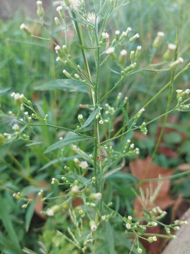
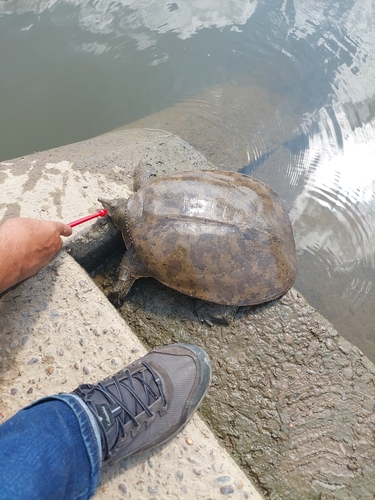
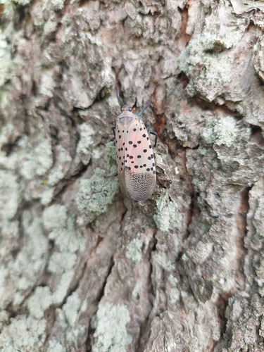
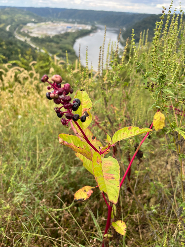
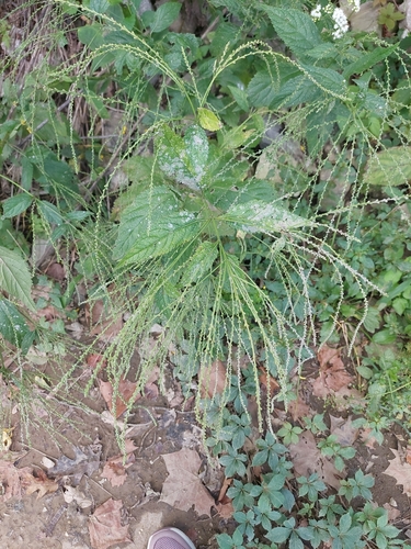
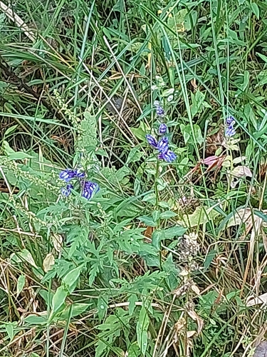
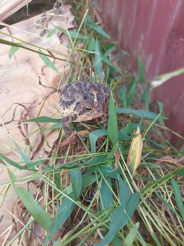
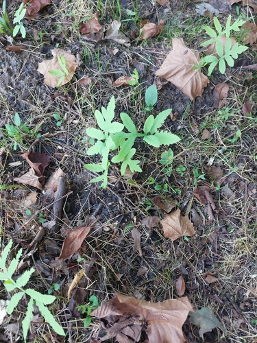
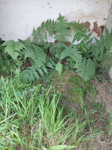
Research-grade observations from iNaturalist (within ~15 mi).
Nearest stream gauge
Events
Gallery
Sources
- • Wikipedia
- • US Census Bureau (ACS 5-year estimates)
- • NOAA National Weather Service
- • Wikidata
- • USGS Earthquake Catalog (global feed)
- • GBIF (Global Biodiversity Information Facility)
- • iNaturalist
- • CDC PLACES
- • Open-Meteo / sunrise-sunset.org
- • Wikipedia Pageviews API
- • Open Library