Browse / United States / Oklahoma / Del City
Del City
Oklahomacity

Del City
Total population
21,494
Median home value
$126,800
Bachelor's+
Median income
$46,925
Demographic figures from US Census Bureau · ACS 5-year estimates. Overview below cites Wikipedia and may reference a different year.
City facts
Facts from Wikidata (CC0).
Overview
Del City is a city in Oklahoma County, Oklahoma, United States, and a part of the Oklahoma City metropolitan area. The population was 21,822 at the United States Census, 2020, a 2.3% increase from 2010.
Read more on WikipediaHistory & geography
History
Founded in Boone Township, Oklahoma County, as a "bedroom" community, Del City lies three miles (5 km) east of Oklahoma City and one mile (1.6 km) west of Midwest City. At the turn of the 21st century, Del City was a community surrounded on the north, west, and south by Oklahoma City and on the east by Midwest City. Interstate Highway 40 bisects the town from the northwest to southeast. Oklahoma City streets define the boundaries: NE 10th Street on the north; Sooner Road on the east; SE 44th Street on the south; and Bryant Avenue on the west. Northwestern corner of the city is a mile from the junction of Interstate 35 and Interstate 40, justifying its claim to being "the Crossroads of America." Before 1946 there were only two families living in what would become Del City. Developer George Epperly purchased a wheat field large at the corner of SE 29th Street and Sunnylane Road in 1946 with a plan to build fifty houses. In 1948 there were 582 homes in Del City, 75% of which were built by George Epperly, Despite opposition, the unincorporated Epperly Heights and its 200 families voted to approve incorporation on October 9, 1948. In February 1959, Del City adopted a charter and a council-manager form of town government. The city was named for Epperly's daughter, Delaphene Campbell. The city expanded through the annexation of Carter Park in 1954 and Midway Village in 1963. Del City attempted to annex the Rose Smith Addition but its residents incorporated and became the town of Smith Village. The city also acquired a piece of undeveloped land that separated it from Tinker Air Force Base. Oklahoma City annexed this same piece of land, and a court fight ensued. In District court, Del City won and Oklahoma City appealed to the State Supreme Court. Del City…
Geography
According to the United States Census Bureau, the city has a total area of , all land. The city is located in the Frontier Country region in the center of the state. Del City lies in the Sandstone Hills region of Oklahoma, known for hills of and two species of oak – blackjack oak (Quercus marilandica) and post oak (Q. stellata). Del City is in a region dominated by the Cross Timbers, an area of prairie and patches of forest at the eastern extent of the Great Plains. The region is essentially a transition buffer between the wetter and more forested Eastern Oklahoma and the semi-arid high plains of Western Oklahoma, and experiences extreme swings between dry and wet weather patterns. Climate is dominated by large differences in annual rainfall totals, with Central Oklahoma's western boundary receiving far less rain than compared to its eastern boundary. Because of these convergences of dry and wet weather patterns, Del City is located at the heart of what is known as Tornado Alley, and is in one of the most tornado-prone areas in the United States. Eagle Lake is located within Del City; the lake is located in the northern part of the city and is the only large body of water. The lake is stocked with bass, catfish, bluegill, carp, vancuren trout and crappie.
Excerpted from the corresponding Wikipedia article (CC BY-SA).
Demographics & economy
Race & ethnicity
Source: US Census Bureau — American Community Survey, 5-year estimates.
Geography
Coordinates & boundaries from the US Census TIGER/Line shapefiles.
Climate
Current forecast
Forecast for Del City, OK from NOAA NWS API.
Air quality
Industrial & pollution facilities
Natural hazard risk
Health (adults)
Walkability
Amenities nearby
Wildlife & biodiversity
Schools
Earthquake history
Photos
Sights & places nearby
Notable people from here


People born within ~10 km, from Wikidata (CC0). Click any name for their Wikipedia article.
Nearby places in Oklahoma
Geography & sun
Elevation, sunrise/sunset and daylight from Open-Meteo. Solar climatology from NASA POWER.
Nearby airports
Public attention
Pageview totals from the Wikimedia Pageviews API.
Books about Del City
Search results from Open Library.
Recent natural events nearby
- Wildfire GRACEMONT, Caddo, OklahomaWildfires · 2026-09-13 · 46 mi
- Wildfire 2690, Caddo, OklahomaWildfires · 2026-08-21 · 46 mi
- Wildfire PINTO, Stephens, OklahomaWildfires · 2026-09-08 · 72 mi
- Wildfire WRIGHT, Hughes, OklahomaWildfires · 2026-08-29 · 76 mi
- Wildfire MEERS, Comanche, OklahomaWildfires · 2026-09-08 · 82 mi
- Wildfire Calvary Creek, Washita, OklahomaWildfires · 2026-09-15 · 90 mi
- Wildfire SOUTH RAILROAD, Comanche, OklahomaWildfires · 2026-08-30 · 93 mi
- Wildfire RAILROAD SOUTH, Comanche, OklahomaWildfires · 2026-08-29 · 93 mi
Wildfires, storms and other events from NASA EONET (last 12 months, within 250 mi).
Ground air-quality sensors
Recently spotted species


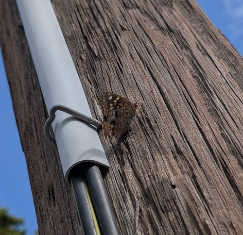


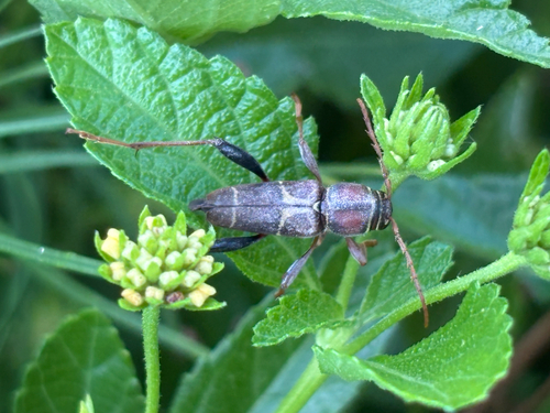

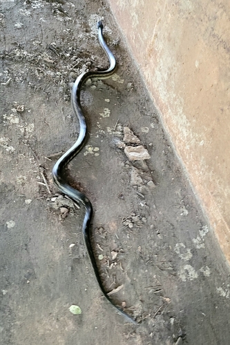
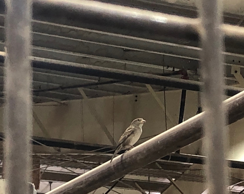
Research-grade observations from iNaturalist (within ~15 mi).
Nearest stream gauge
Events
Gallery
Sources
- • Wikipedia
- • US Census Bureau (ACS 5-year estimates)
- • NOAA National Weather Service
- • Wikidata
- • iNaturalist
- • Open-Meteo / sunrise-sunset.org
- • Wikipedia Pageviews API
- • Open Library
- • NASA EONET