Browse / United States / Oklahoma / Dibble
Dibble
Oklahomatown

Dibble
Total population
1,045
Median home value
$186,100
Bachelor's+
Median income
$71,471
Demographic figures from US Census Bureau · ACS 5-year estimates. Overview below cites Wikipedia and may reference a different year.
City facts
Facts from Wikidata (CC0).
Overview
Dibble is a town in McClain County, Oklahoma, United States. The population of the town was 867 at the 2020 census. Dibble is in the Oklahoma City Metropolitan Area, according to the U.S. Census, within the outer suburban area west of Purcell and southwest of Norman.
Read more on WikipediaHistory & geography
History
Located in western McClain County, for much of the nineteenth century the site of the present community existed in the Chickasaw Nation's Pontotoc County. According to historian George Shirk, John and James Dibble operated a ranch in the area and contributed their name to the town and to the creek that flows through it. The ranch lay on the Fort Smith to Fort Sill military road and served as a stopping point for soldiers and travelers. The village may have been in existence as early as 1869, and the Post Office Department designated a Dibble post office in 1894 with Horatio Orem as postmaster. In 1901 the Gazetteer and Business Directory of Indian Territory reported that Dibble had one hundred residents, a hotel, a grocery store, a general store, a blacksmith, a doctor, and three stockmen. Ranching served as the early economic staple, soon followed by farming. In 1902 J. T. Payne platted the townsite, which the Department of Interior approved in November of that year, withholding the land from the Chickasaw allotment process. In 1906, after the Oklahoma Central Railway failed to build through the town, placing its tracks north at Blanchard, the town lost many of its burgeoning businesses. The town's school system was first established in 1907. In 1911 Polk's Oklahoma Gazetteer estimated the population of Dibble at 150 and listed two general stores, a confectioner, a blacksmith, a doctor, and a drugstore. In 1918 the population dropped to 125, but the town had added a gristmill, a cotton gin, and a feed store, reflecting the emphasis on farming. In 1926 the post office discontinued. In 1936 the Works Progress Administration built an addition to the school, which educated children from the surrounding region. In 1937 State Highway 39 was completed adjacent to the…
Geography
Dibble is in western McClain County, west of Purcell, the county seat, the same distance east of Chickasha, and south of Oklahoma City. The town is located along State Highway 39 just east of the State Highway 76 junction. According to the U.S. Census Bureau, the town of Dibble has a total area of , of which , or 1.85%, are water. Dibble Creek drains the center and northern parts of town, flowing east to join Walnut Creek near Washington. Walnut Creek is a tributary of the Canadian River, part of the Arkansas River watershed. The southern portion of Dibble is drained by Criner Creek, which flows southeast to the Washita River near Maysville. The Washita is part of the Red River watershed.
Excerpted from the corresponding Wikipedia article (CC BY-SA).
Demographics & economy
Race & ethnicity
Source: US Census Bureau — American Community Survey, 5-year estimates.
Geography
Coordinates & boundaries from the US Census TIGER/Line shapefiles.
Climate
Current forecast
Forecast for Dibble, OK from NOAA NWS API.
Air quality
Industrial & pollution facilities
Natural hazard risk
Health (adults)
Age-adjusted prevalence estimates from CDC PLACES (latest release).
Walkability
Amenities nearby
Wildlife & biodiversity
Most-observed species
- American CrowCorvus brachyrhynchos C.L.Brehm, 1822 · Aves537
- Northern CardinalCardinalis cardinalis (Linnaeus, 1758) · Aves472
- Carolina ChickadeePoecile carolinensis (Audubon, 1834) · Aves403
- Red-bellied WoodpeckerMelanerpes carolinus (Linnaeus, 1758) · Aves341
- European StarlingSturnus vulgaris Linnaeus, 1758 · Aves338
- Turkey VultureCathartes aura (Linnaeus, 1758) · Aves328
- Tufted TitmouseBaeolophus bicolor (Linnaeus, 1766) · Aves315
- Carolina WrenThryothorus ludovicianus (Latham, 1790) · Aves283
Citizen-science & research observations from the Global Biodiversity Information Facility (GBIF).
Schools
Largest nearby schools
- BLANCHARD HSHigh · Blanchard · 724 students · 20.7:1 ratio
- WASHINGTON ESElementary · Washington · 565 students · 16.1:1 ratio
- BLANCHARD ESElementary · Blanchard · 558 students · 19.2:1 ratio
- BLANCHARD INTERMEDIATE ESElementary · Blanchard · 481 students · 20:1 ratio
- BLANCHARD MSMiddle · Blanchard · 477 students · 19.1:1 ratio
- WASHINGTON HSHigh · Washington · 353 students · 18.6:1 ratio
- DIBBLE ESElementary · BLANCHARD · 345 students · 19.2:1 ratio
- WASHINGTON MSMiddle · Washington · 279 students · 17.4:1 ratio
Public K–12 schools within ~10 mi from Urban Institute Education Data Portal (NCES Common Core of Data, 2022).
Earthquake history
Most recent
- M 2.57 — 2026-09-146 km E of Calumet, Oklahoma
- M 3.29 — 2026-09-042 km SSW of Dibble, Oklahoma
- M 2.56 — 2026-06-136 km ENE of Edmond, Oklahoma
- M 3.5 — 2026-05-192 km ESE of Johnson, Oklahoma
- M 2.72 — 2026-05-154 km SE of Ratliff City, Oklahoma
- M 2.61 — 2026-03-238 km ENE of Calumet, Oklahoma
Events from the USGS Earthquake Catalog (global) (FDSN Event Web Service).
Photos
Sights & places nearby
Notable people from here
Nearby places in Oklahoma
Geography & sun
Elevation, sunrise/sunset and daylight from Open-Meteo. Solar climatology from NASA POWER.
Nearby airports
Public attention
Pageview totals from the Wikimedia Pageviews API.
Books about this place
Recent natural events nearby
- Wildfire 2690, Caddo, OklahomaWildfires · 2026-08-21 · 33 mi
- Wildfire GRACEMONT, Caddo, OklahomaWildfires · 2026-09-13 · 40 mi
- Wildfire PINTO, Stephens, OklahomaWildfires · 2026-09-08 · 42 mi
- Wildfire MEERS, Comanche, OklahomaWildfires · 2026-09-08 · 61 mi
- Wildfire SOUTH RAILROAD, Comanche, OklahomaWildfires · 2026-08-30 · 68 mi
- Wildfire RAILROAD SOUTH, Comanche, OklahomaWildfires · 2026-08-29 · 68 mi
- Wildfire Calvary Creek, Washita, OklahomaWildfires · 2026-09-15 · 78 mi
- Wildfire WRIGHT, Hughes, OklahomaWildfires · 2026-08-29 · 87 mi
Wildfires, storms and other events from NASA EONET (last 12 months, within 250 mi).
Ground air-quality sensors
Recently spotted species
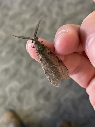
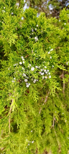
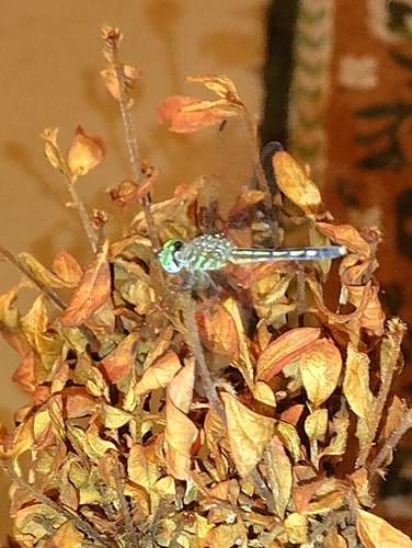
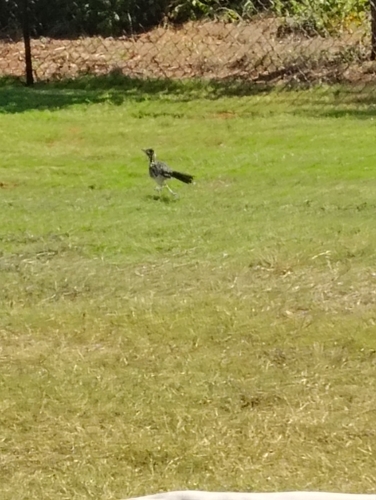
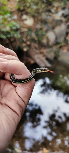
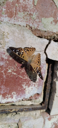
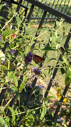
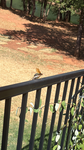
Research-grade observations from iNaturalist (within ~15 mi).
Nearest stream gauge
Events
Gallery
Sources
- • Wikipedia
- • US Census Bureau (ACS 5-year estimates)
- • NOAA National Weather Service
- • Wikidata
- • USGS Earthquake Catalog (global feed)
- • NCES via Urban Institute Education Data Portal
- • GBIF (Global Biodiversity Information Facility)
- • iNaturalist
- • CDC PLACES
- • Open-Meteo / sunrise-sunset.org
- • Wikipedia Pageviews API
- • NASA EONET