Browse / United States / Oklahoma / Edmond
Edmond
Oklahomacity

Edmond
Total population
99,036
Median home value
$376,800
Bachelor's+
Median income
$105,339
Founded
1889
Demographic figures from US Census Bureau · ACS 5-year estimates. Overview below cites Wikipedia and may reference a different year.
City facts
Facts from Wikidata (CC0).
Overview
Edmond is a city in Oklahoma County, Oklahoma, United States. It is a part of the Oklahoma City metropolitan area, in Central Oklahoma. Its population was 94,428 at the 2020 United States census, a 16% increase from 2010, making it the 5th most populous city in Oklahoma.
Read more on WikipediaHistory & geography
History
The Santa Fe rail line in Oklahoma Territory established a water and coaling station for steam engines at this location when the Santa Fe Railroad built into Indian Territory in 1887. The site for the station was chosen because it was the highest point on the line in Oklahoma County; trains could more easily accelerate going downhill while leaving the station in either direction. The railroad then named the station for Edmond Burdick, the Santa Fe's traveling freight agent. When the town was formed after the Oklahoma Land Run of 1889, early settlers decided to adopt the name. Though most of the remnants of the old railroad infrastructure are gone, the Santa Fe, now BNSF, freight line still runs through the same course. The town of Edmond sprang up overnight during the great Oklahoma land run on April 22, 1889, when homesteads were staked around the Santa Fe station. In 1889, the Gower Cemetery was established by John and Ophelia Gower, a formerly enslaved couple. Intended as a free burial ground for African American and indigent families, it is the only surviving evidence of an early Black homesteading community in Edmond and was listed on the National Register of Historic Places in 2000. In December 1890, the territorial legislature established three universities, the state university in Norman, the agricultural and mechanical college in Stillwater, and a "normal" or teaching school in Edmond. The first classes for the Territorial Normal School (University of Central Oklahoma) were held November 9, 1891, in the Methodist Church on the southwest corner of North Broadway and West Hurd. Old North, the Territorial Normal School's iconic first building, was opened for classes on January 2, 1893, and ahead of Oklahoma State University's Central Hall or Oklahoma…
Geography
Edmond is just north of Oklahoma City in Oklahoma County, Oklahoma. According to the United States Census Bureau, the city has an area of , of which (3.19%) are covered by water. Arcadia Lake, a fishing spot for the Oklahoma City metropolitan area on Edmond's east side, contains bluegill, channel catfish, blue catfish, and largemouth bass. Twin Bridges Lake is also in Edmond. Edmond lies in Central Oklahoma's Sandstone Hills region, known for hills, blackjack oak, and post oak. The city is in an ecological region known as the Cross Timbers. Edmond has a humid subtropical climate with frequent variations in weather during part of the year and consistently hot summers. Prolonged and severe droughts often lead to wildfires, and heavy rainfall often leads to flash flooding and flooding. Consistent winds, usually from the south or south-southeast during the summer, help temper the hotter weather. Consistent northerly winds during the winter can intensify cold periods. Severe ice storms and snowstorms happen sporadically during the winter. The city is subject to frequent and severe tornadoes and hailstorms, and is in Tornado Alley. The Oklahoma City metropolitan area is one of the world's most tornado-prone areas.
Excerpted from the corresponding Wikipedia article (CC BY-SA).
Demographics & economy
Race & ethnicity
Source: US Census Bureau — American Community Survey, 5-year estimates.
Geography
Coordinates & boundaries from the US Census TIGER/Line shapefiles.
Climate
Current forecast
Forecast for Edmond, OK from NOAA NWS API.
Air quality
Industrial & pollution facilities
Natural hazard risk
Health (adults)
Age-adjusted prevalence estimates from CDC PLACES (latest release).
Walkability
Amenities nearby
Wildlife & biodiversity
Most-observed species
- Northern CardinalCardinalis cardinalis (Linnaeus, 1758) · Aves10,847
- American CrowCorvus brachyrhynchos C.L.Brehm, 1822 · Aves8,138
- Blue JayCyanocitta cristata (Linnaeus, 1758) · Aves8,098
- MallardAnas platyrhynchos Linnaeus, 1758 · Aves7,815
- Carolina ChickadeePoecile carolinensis (Audubon, 1834) · Aves7,738
- Canada Goose (canadensis Group)Branta canadensis (Linnaeus, 1758) · Aves7,013
- Downy WoodpeckerDryobates pubescens (Linnaeus, 1766) · Aves6,322
- American RobinTurdus migratorius Linnaeus, 1766 · Aves6,257
Citizen-science & research observations from the Global Biodiversity Information Facility (GBIF).
Schools
Largest nearby schools
- SANTA FE HSHigh · Edmond · 2,796 students · 22.7:1 ratio
- MEMORIAL HSHigh · Edmond · 2,605 students · 21.4:1 ratio
- NORTH HSHigh · Edmond · 2,555 students · 22.2:1 ratio
- DEER CREEK MSMiddle · Edmond · 1,179 students · 19.3:1 ratio
- HEARTLAND MSMiddle · Edmond · 1,071 students · 17.9:1 ratio
- SEQUOYAH MSMiddle · Edmond · 1,006 students · 18.6:1 ratio
- CENTRAL MSMiddle · Edmond · 980 students · 19.2:1 ratio
- SUMMIT MSMiddle · Edmond · 940 students · 17.7:1 ratio
Public K–12 schools within ~10 mi from Urban Institute Education Data Portal (NCES Common Core of Data, 2022).
Earthquake history
Most recent
- M 2.57 — 2026-09-146 km E of Calumet, Oklahoma
- M 2.9 — 2026-09-115 km N of Stroud, Oklahoma
- M 3.29 — 2026-09-042 km SSW of Dibble, Oklahoma
- M 2.56 — 2026-06-136 km ENE of Edmond, Oklahoma
- M 2.72 — 2026-06-037 km S of Perry, Oklahoma
- M 2.9 — 2026-05-2210 km N of Stillwater, Oklahoma
Events from the USGS Earthquake Catalog (global) (FDSN Event Web Service).
Photos
Sights & places nearby
Notable people from here


People born within ~10 km, from Wikidata (CC0). Click any name for their Wikipedia article.
Nearby places in Oklahoma
Geography & sun
Elevation, sunrise/sunset and daylight from Open-Meteo. Solar climatology from NASA POWER.
Nearby airports
Public attention
Pageview totals from the Wikimedia Pageviews API.
Books about Edmond


Search results from Open Library.
Recent natural events nearby
- Wildfire GRACEMONT, Caddo, OklahomaWildfires · 2026-09-13 · 52 mi
- Wildfire 2690, Caddo, OklahomaWildfires · 2026-08-21 · 56 mi
- Wildfire WRIGHT, Hughes, OklahomaWildfires · 2026-08-29 · 79 mi
- Wildfire PINTO, Stephens, OklahomaWildfires · 2026-09-08 · 88 mi
- Wildfire MEERS, Comanche, OklahomaWildfires · 2026-09-08 · 92 mi
- Wildfire Calvary Creek, Washita, OklahomaWildfires · 2026-09-15 · 96 mi
- Wildfire B.B, Osage, OklahomaWildfires · 2026-08-06 · 100 mi
- Wildfire BISON, Osage, OklahomaWildfires · 2026-08-21 · 102 mi
Wildfires, storms and other events from NASA EONET (last 12 months, within 250 mi).
Ground air-quality sensors
Recently spotted species
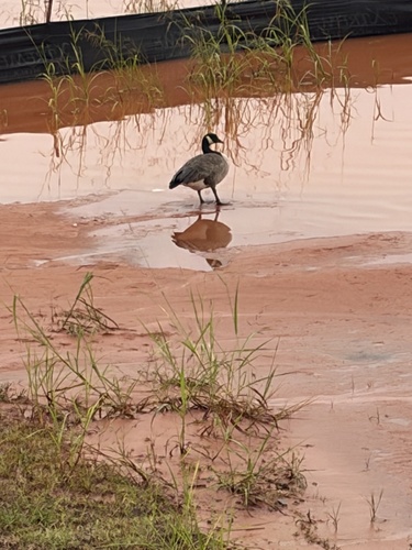
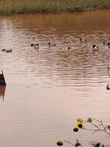
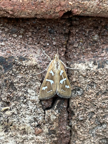
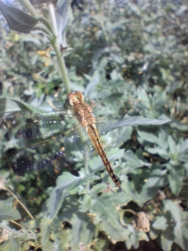
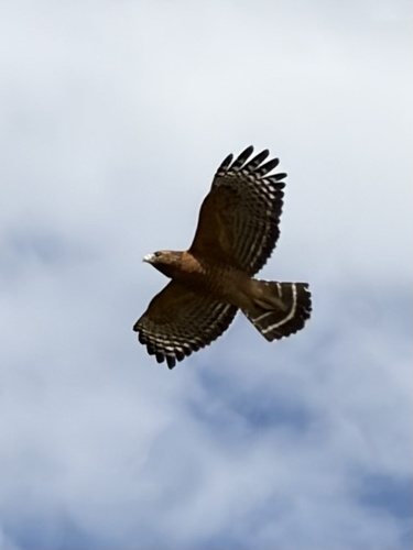


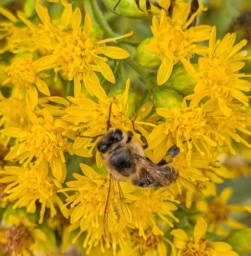

Research-grade observations from iNaturalist (within ~15 mi).
Nearest stream gauge
Live readings from USGS NWIS · measured 2026-10-16 11:00 UTC.
Events
Gallery
Sources
- • Wikipedia
- • US Census Bureau (ACS 5-year estimates)
- • NOAA National Weather Service
- • Wikidata
- • USGS Earthquake Catalog (global feed)
- • USGS NWIS (water data)
- • NCES via Urban Institute Education Data Portal
- • GBIF (Global Biodiversity Information Facility)
- • iNaturalist
- • CDC PLACES
- • Open-Meteo / sunrise-sunset.org
- • Wikipedia Pageviews API
- • Open Library
- • NASA EONET