Browse / United States / Pennsylvania / Braddock
Braddock
Pennsylvaniaborough

Braddock
Total population
2,039
Median home value
$50,000
Bachelor's+
Median income
$37,813
Founded
1742
Demographic figures from US Census Bureau · ACS 5-year estimates. Overview below cites Wikipedia and may reference a different year.
- Flood Watch · SevereFlood Watch issued September 22 at 1:41AM EDT until September 23 at 8:00AM EDT by NWS Pittsburgh PA
Source: NOAA National Weather Service.
City facts
Facts from Wikidata (CC0).
Overview
Braddock is a borough in Allegheny County, Pennsylvania, United States. It is located in the eastern suburbs of Pittsburgh, 10 miles (16 km) upstream from the mouth of the Monongahela River. The population was 1,721 as of the 2020 census, a 91.8% decline since its peak of 20,879 in 1920.
Read more on WikipediaHistory & geography
History
Braddock is named for General Edward Braddock (1695–1755), commander of American colonial forces at the start of the French and Indian War. The Braddock Expedition to capture Fort Duquesne (modern day Pittsburgh) from the French led to the British general's own fatal wounding and a sound defeat of his troops after crossing the Monongahela River on July 9, 1755. This battle, now called the Battle of the Monongahela, was a key event at the beginning of the French and Indian War. The area surrounding Braddock's Field was originally inhabited by the Lenape, ruled by Queen Alliquippa. In 1742, John Fraser and his family established the area at the mouth of Turtle Creek as the first permanent English settlement west of the Allegheny Mountains. The town's industrial economy began in 1873, when Andrew Carnegie built the Edgar Thomson Steel Works on the historic site of Braddock's Field in what is now North Braddock, Pennsylvania. This was one of the first American steel mills which used the Bessemer process. The mill is still in operation as a part of the United States Steel Corporation. This era of the town's history is depicted in Thomas Bell's novel Out of This Furnace. Braddock is also the location of the first of Andrew Carnegie's 1,679 (some sources list 1,689) public libraries in the United States, designed by William Halsey Wood of Newark, New Jersey, and dedicated on March 30, 1889. The Carnegie Free Library of Braddock included a tunnel entrance for Carnegie's millworkers to enter a bathhouse in the basement to clean up before entering the facilities (which originally included billiard tables). An addition in 1893, by Longfellow, Alden and Harlow (Boston & Pittsburgh, successors to Henry Hobson Richardson), added a swimming pool, indoor basketball court, and…
Geography
According to the U.S. Census Bureau, the borough has a total area of , of which is land and (13.85%) of which is water. Its average elevation is above sea level. Braddock has two land borders, with North Braddock from the north to the southeast, and Rankin to the northwest. Across the Monongahela River to the south, Braddock is adjacent to Whitaker and West Mifflin.
Excerpted from the corresponding Wikipedia article (CC BY-SA).
Demographics & economy
Race & ethnicity
Source: US Census Bureau — American Community Survey, 5-year estimates.
Geography
Coordinates & boundaries from the US Census TIGER/Line shapefiles.
Climate
Current forecast
Forecast for Braddock, PA from NOAA NWS API.
Air quality
Industrial & pollution facilities
Natural hazard risk
Health (adults)
Walkability
Amenities nearby
Wildlife & biodiversity
Schools
Largest nearby schools
- Baldwin SHSHigh · Pittsburgh · 2,086 students · 18.6:1 ratio
- Mt Lebanon SHSHigh · Pittsburgh · 1,840 students · 14.6:1 ratio
- Pittsburgh Allderdice HSHigh · Pittsburgh · 1,362 students · 13.1:1 ratio
- Fox Chapel Area HSHigh · Pittsburgh · 1,283 students · 13.6:1 ratio
- Penn Hills El SchElementary · Pittsburgh · 1,279 students · 13.8:1 ratio
- Plum SHSHigh · Plum · 1,226 students · 17.5:1 ratio
- Shaler Area HSHigh · Pittsburgh · 1,225 students · 11.9:1 ratio
- J.E. Harrison Education CtrElementary · Pittsburgh · 1,143 students · 15.7:1 ratio
Public K–12 schools within ~10 mi from Urban Institute Education Data Portal (NCES Common Core of Data, 2022).
Earthquake history
Photos
Sights & places nearby
Notable people from here


People born within ~10 km, from Wikidata (CC0). Click any name for their Wikipedia article.
Nearby places in Pennsylvania
- Braddock Hills1 mi away · pop. 1,629
- Forest Hills1.8 mi away
- Duquesne2.2 mi away
- Greenock7 mi away · pop. 1,815
- Etna7.7 mi away · pop. 3,364
- Blaine Hill8.8 mi away · pop. 587
- Elizabeth9 mi away · pop. 1,371
- Green Tree9.8 mi away · pop. 4,833
- Bethel Park10.3 mi away · pop. 32,881
- Cheswick10.4 mi away · pop. 1,661
- Crafton10.9 mi away · pop. 5,961
- Bellevue11.7 mi away · pop. 8,128
Geography & sun
Elevation, sunrise/sunset and daylight from Open-Meteo. Solar climatology from NASA POWER.
Nearby airports
Public attention
Pageview totals from the Wikimedia Pageviews API.
Books about Braddock
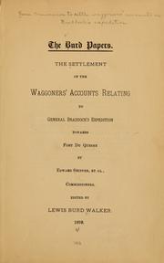


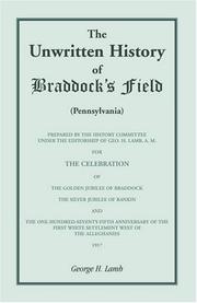
Search results from Open Library.
Recent natural events nearby
Ground air-quality sensors
Recently spotted species
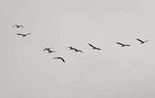
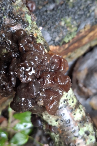
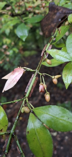
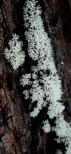
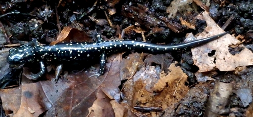
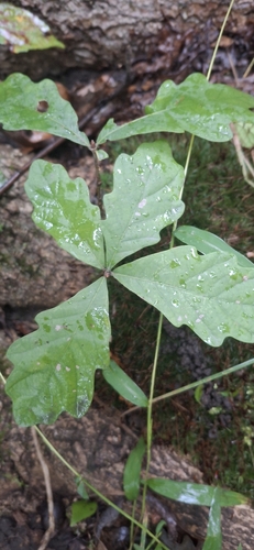
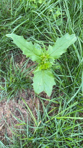
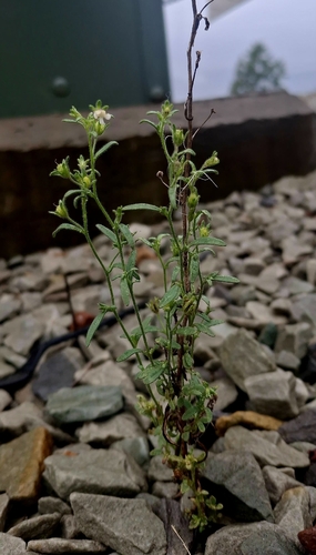
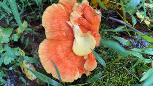
Research-grade observations from iNaturalist (within ~15 mi).
Nearest stream gauge
Live readings from USGS NWIS · measured 2026-09-22 02:30 UTC.
Events
Gallery
Sources
- • Wikipedia
- • US Census Bureau (ACS 5-year estimates)
- • NOAA National Weather Service
- • Wikidata
- • USGS NWIS (water data)
- • NCES via Urban Institute Education Data Portal
- • iNaturalist
- • Open-Elevation
- • Open-Meteo / sunrise-sunset.org
- • Wikipedia Pageviews API
- • Open Library