Browse / United States / Pennsylvania / Cheswick
Cheswick
Pennsylvaniaborough

Cheswick
Total population
1,661
Median home value
$196,200
Bachelor's+
Median income
$75,000
Founded
1902
Demographic figures from US Census Bureau · ACS 5-year estimates. Overview below cites Wikipedia and may reference a different year.
- Flood Watch · SevereFlood Watch issued September 21 at 11:43AM EDT until September 23 at 8:00AM EDT by NWS Pittsburgh PA
Source: NOAA National Weather Service.
City facts
Facts from Wikidata (CC0).
Overview
Cheswick is a borough in Allegheny County, Pennsylvania, United States, along the Allegheny River. The population was 1,672 as of the 2020 census. Cheswick Borough was incorporated in 1902. It is a residential suburb of the Pittsburgh metropolitan area.
Read more on WikipediaHistory & geography
History
Cheswick, named for a town in England, is a small town of about . The history of the lands of Cheswick seems to have belonged to the Keen family at least in part, for Archie Pillow, or Pillar, as spelled in old records, inherited land from the Keen family. That land, in part, is where Cheswick is today. Archie's brother, George, once owned the second oldest house in the community. Thomas Pillow owned the land from Highland Avenue to the Harmar Township line. The level land near the Allegheny River was used as farmland (Borland farm). Borland & Truck farms sold vegetables to Pittsburgh in the days of the canal. Barges and rafts of lumber were floated down the river to the steel mills. The men were fed by women who took baked goods out to the slow-moving barges in boats. In the days of the canal, wealthy families built great Victorian houses along the canal. Later, when the railroad bought out the right of way, the noise and dust became disturbing and many houses became run down and neglected. Among the early names are Borland, Pillows, Macleans, Wilsons, Stewarts, Lemons, Albertsons, Buntings, Cummings, Shoops and Armstrongs. The Armstrong family lived in Acmetonia until after the Civil War. One built the fine stone house next to the Cheswick Theater (which has since been demolished), and he served as postmaster in the borough. Before the days of the railroad, a tavern was located where the former station would later be built. People traveling to Pittsburgh by carriage probably stopped for refreshment. The road between Pittsburgh and Freeport was filled by farmers driving cattle to market in Pittsburgh, peddler wagons taking goods to country housewives, businessmen going to Pittsburgh, and officials going to court for the day. When the Pennsylvania Railroad was…
Geography
Cheswick is located at 40.5417° N, 79.7992° W. Cheswick has three land borders, including Harmar Township to the west, Springdale Township to the north, and Springdale Borough to the east. Adjacent to Cheswick across the Allegheny River to the south is Plum. According to the United States Census Bureau, the borough has a total area of , of which is land and , or 15.79%, is water.
Excerpted from the corresponding Wikipedia article (CC BY-SA).
Demographics & economy
Race & ethnicity
Source: US Census Bureau — American Community Survey, 5-year estimates.
Geography
Coordinates & boundaries from the US Census TIGER/Line shapefiles.
Climate
Current forecast
Forecast for Cheswick, PA from NOAA NWS API.
Air quality
Industrial & pollution facilities
Natural hazard risk
Health (adults)
Walkability
Amenities nearby
Wildlife & biodiversity
Schools
Largest nearby schools
- Fox Chapel Area HSHigh · Pittsburgh · 1,283 students · 13.6:1 ratio
- Penn Hills El SchElementary · Pittsburgh · 1,279 students · 13.8:1 ratio
- Plum SHSHigh · Plum · 1,226 students · 17.5:1 ratio
- Shaler Area HSHigh · Pittsburgh · 1,225 students · 11.9:1 ratio
- Gateway SHSHigh · Monroeville · 1,135 students · 14.4:1 ratio
- Penn Hills SHSHigh · Pittsburgh · 1,107 students · 17.9:1 ratio
- Environmental CS at Frick ParkOther · Pittsburgh · 1,020 students · 10.4:1 ratio
- Moss Side MSMiddle · Monroeville · 983 students · 12.1:1 ratio
Public K–12 schools within ~10 mi from Urban Institute Education Data Portal (NCES Common Core of Data, 2022).
Earthquake history
Photos
Sights & places nearby
Notable people from here


People born within ~10 km, from Wikidata (CC0). Click any name for their Wikipedia article.
Nearby places in Pennsylvania
- Arnold3.1 mi away · pop. 4,704
- Brackenridge5.5 mi away
- Bairdford7.2 mi away
- Etna8.5 mi away · pop. 3,364
- Forest Hills8.6 mi away
- Braddock Hills9.4 mi away · pop. 1,629
- Braddock10.4 mi away · pop. 2,039
- Duquesne12 mi away
- Kiskimere12.5 mi away
- Apollo12.7 mi away · pop. 1,488
- East Vandergrift13 mi away
- Bellevue13.8 mi away · pop. 8,128
Geography & sun
Elevation, sunrise/sunset and daylight from Open-Meteo. Solar climatology from NASA POWER.
Nearby airports
Public attention
Pageview totals from the Wikimedia Pageviews API.
Books about Cheswick


Search results from Open Library.
Recent natural events nearby
Ground air-quality sensors
Recently spotted species
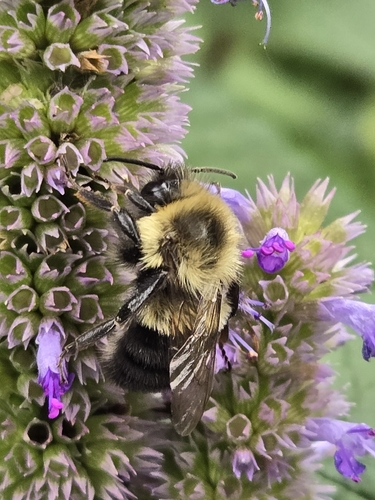
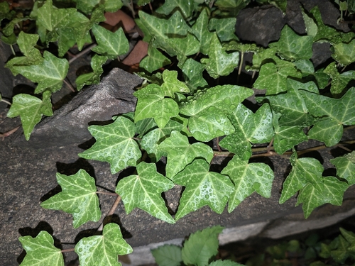
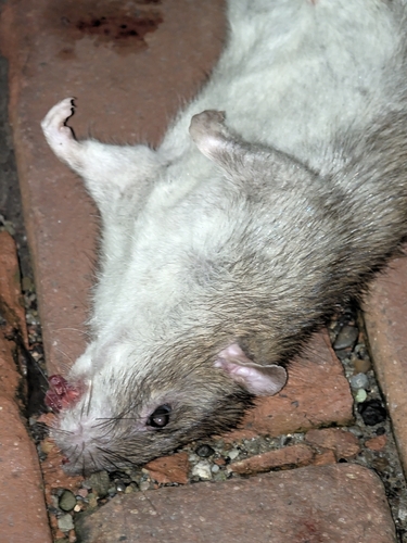
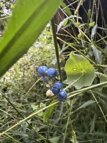
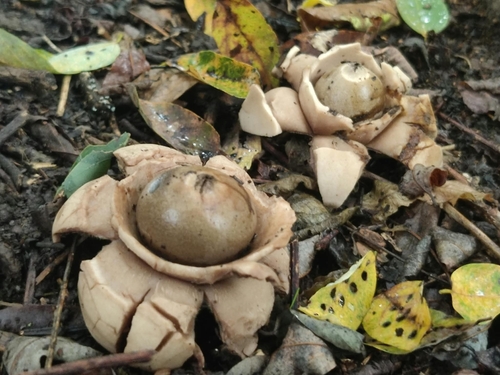
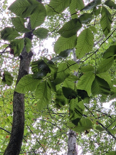
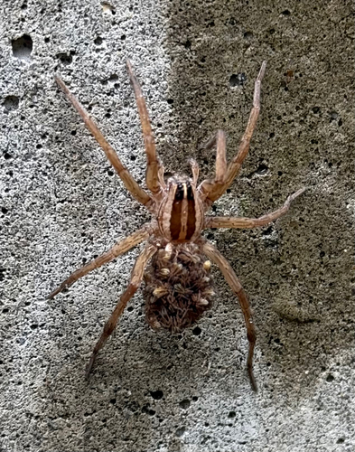

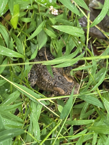
Research-grade observations from iNaturalist (within ~15 mi).
Nearest stream gauge
Events
Gallery
Sources
- • Wikipedia
- • US Census Bureau (ACS 5-year estimates)
- • NOAA National Weather Service
- • Wikidata
- • NCES via Urban Institute Education Data Portal
- • iNaturalist
- • Open-Meteo / sunrise-sunset.org
- • Wikipedia Pageviews API
- • Open Library