Browse / United States / Puerto Rico / Añasco
Añasco
Puerto Ricozona urbana

Añasco
Total population
4,616
Median home value
$112,400
Bachelor's+
Median income
$24,329
Founded
1733
Demographic figures from US Census Bureau · ACS 5-year estimates. Overview below cites Wikipedia and may reference a different year.
City facts
Facts from Wikidata (CC0).
Overview
Añasco, named after one of its settlers, Don Luis de Añasco, is a town and municipality of Puerto Rico located on the west coast of the island bordering the Mona Passage to the west, north of Mayagüez, and Las Marias; south of Rincón, Aguada, and Moca and west of San Sebastián and Las Marias. It is part of the Aguadilla-Isabela-San Sebastián Metropolitan Statistical Area.
Read more on WikipediaHistory & geography
History
Although the Bahía de Aguada (Aguada Bay) in the neighboring town of Aguada, commonly known as the Ciudad del Descubrimiento (City of the Discovery), has historically been recognized as the location where Christopher Columbus first landed in Puerto Rico during his second voyage on 19 November 1493, it is believed by most historians that Bahía de Añasco (Añasco Bay) near the mouth of the Río Grande de Añasco in Añasco was the place of Columbus’ first landing and stay of two days in Puerto Rico before continuing to La Navidad, first European settlement in the Americas, in Haiti in Hispaniola. The town of Añasco was founded on October 18, 1733, and named after Don Luis de Añasco, a colonist from the Extremadura region of Spain who came to Puerto Rico with Juan Ponce de León. Añasco was founded by the initiative of rich landowner Don José de Santiago, who wanted to establish the villa in properties owned by Don Luis de Añasco. The property was located on the margins of the río Guaorabo, as the Taínos called it. Añasco town was preceded by the first original location of the settlement of San Germán. This settlement was attacked and destroyed several times by the Taínos and pirates before moving to the current location. In November 1511, Juan Ponce de León handed over governorship to Juan Cerón, a lieutenant of the viceroy Diego Colon (son of Cristobal Colon or Cristopher Columbus). Cerón ordered Miguel de Toro, a lieutenant of Juan Ponce de León, to create a "Christian Village" in western Borinquen, calling it San Germán. This was the second attempt of foundation given in 1511 at the mouth of the Guaorabo River (present day Rio Añasco), near the area known today as Añasco, Puerto Rico. This first settlement was attacked in 1528, 1538, and again in 1554. A fort to protect…
Geography
Añasco is located in the Coastal Plains of the west, bordered by the Río Grande de Añasco. It is bordered in the north by Rincón, Aguada, and Moca; Mayagüez to the south; and San Sebastián and Las Marías to the east. The Mona Passage lies to the west of the town. The Añasco terrain is mostly plain but features a series of hills and mountains like Canta Gallo (1,194 feet, or 364 meters), Gordo and Pichón (both at 1,115 feet, or 340 meters). It is also crossed by several rivers like Icaco River, Caguabo River, La Balsa, and others. Like all municipalities of Puerto Rico, Añasco is subdivided into barrios. The municipal buildings, central square and large Catholic church are located in a small barrio referred to as , near the center of the municipality. # Añasco Abajo # Añasco Arriba #Añasco barrio-pueblo # Caguabo # Caracol # Carreras # Casey Abajo # Casey Arriba # Cerro Gordo # Cidra # Corcovada # Dagüey # Espino # Hatillo # Humatas # Marías # Miraflores # Ovejas # Piñales # Playa # Quebrada Larga # Río Arriba # Río Cañas Barrios (which are like minor civil divisions) (Special Communities of Puerto Rico) are marginalized communities whose citizens are experiencing a certain amount of social exclusion. A map shows these communities occur in nearly every municipality of the commonwealth. Of the 742 places that were on the list in 2014, the following barrios, communities, sectors, or neighborhoods were in Añasco: Cerro Gordo, Corcovada, Hatillo, Miraflores, and Caguabo barrios, , and Zumbadora sector in Río Arriba barrio.
Excerpted from the corresponding Wikipedia article (CC BY-SA).
Demographics & economy
Race & ethnicity
Source: US Census Bureau — American Community Survey, 5-year estimates.
Geography
Coordinates & boundaries from the US Census TIGER/Line shapefiles.
Climate
Current forecast
Forecast for Añasco, PR from NOAA NWS API.
Air quality
Industrial & pollution facilities
Natural hazard risk
Health (adults)
Walkability
Amenities nearby
Wildlife & biodiversity
Schools
Largest nearby schools
- LUIS MUNOZ MARIN ANASCOHigh · ANASCO · 435 students · 12.4:1 ratio
- ISABEL SUAREZMiddle · ANASCO · 341 students · 10.7:1 ratio
- ESCUELA ESPECIALIZADA BILINGUE ALCIDES FIGUEROAHigh · ANASCO · 331 students · 13.8:1 ratio
- CARMEN CASASUS MARTI (ELEM. URBANA)Elementary · ANASCO · 293 students · 10.9:1 ratio
- ANTONIO GONZALEZ SUAREZElementary · ANASCO · 227 students · 11.9:1 ratio
- ESPINOElementary · ANASCO · 195 students · 8.9:1 ratio
Public K–12 schools within ~10 mi from Urban Institute Education Data Portal (NCES Common Core of Data, 2022).
Earthquake history
Photos
Sights & places nearby
Notable people from here


People born within ~10 km, from Wikidata (CC0). Click any name for their Wikipedia article.
Nearby places in Puerto Rico
Geography & sun
Nearby airports
Public attention
Books about this place
Recent natural events nearby
Ground air-quality sensors
Recently spotted species
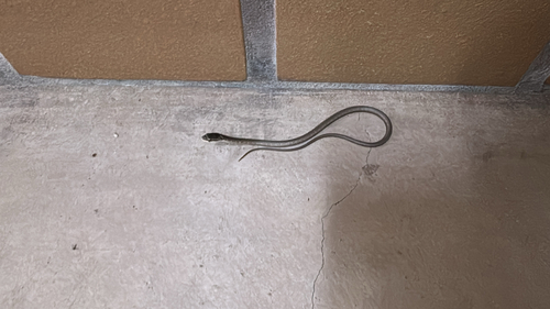
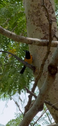
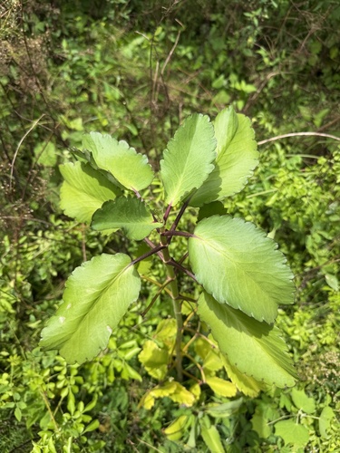
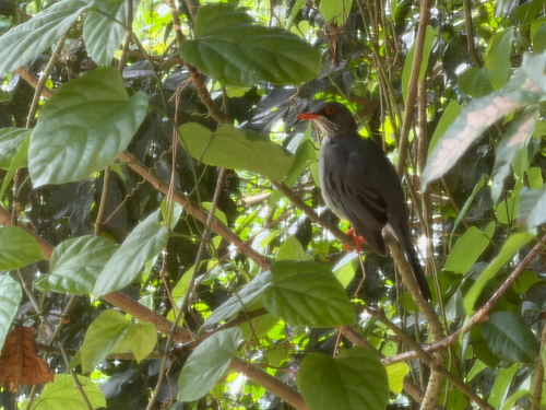
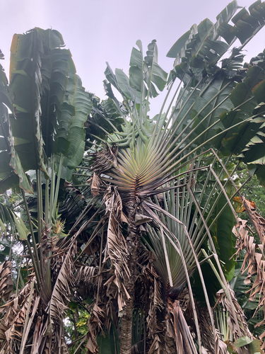
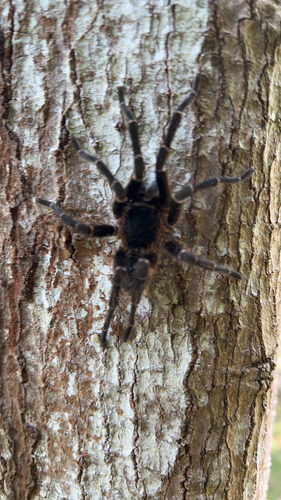
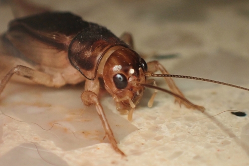
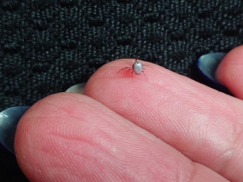
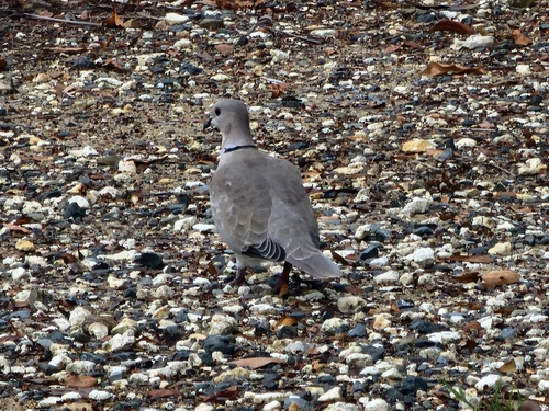
Research-grade observations from iNaturalist (within ~15 mi).
Nearest stream gauge
Live readings from USGS NWIS · measured 2026-09-18 09:00 UTC.
Events
Gallery
Sources
- • Wikipedia
- • US Census Bureau (ACS 5-year estimates)
- • NOAA National Weather Service
- • Wikidata
- • USGS NWIS (water data)
- • NCES via Urban Institute Education Data Portal
- • iNaturalist