Browse / Portugal / Madeira / Caniçal
Caniçal
Madeiratown

Caniçal
Total population
3,924
Demographic figures from INE Portugal. Overview below cites Wikipedia and may reference a different year.
City facts
Facts from Wikidata (CC0).
Overview
Caniçal is a civil parish in the municipality of Machico in the Portuguese island of Madeira. The population in 2011 was 3,924, in an area of 11.85 km2. Equidistant from Funchal and Santana (20 km), the community is connected to these centres by the Regional 109 roadway. Caniçal is now the principal cargo port in Madeira. Living in this parish is a 109-year-old man as of March 7, 2021.
Read more on WikipediaHistory & geography
History
Early documents of the lands of Caniçal came from references to the region's use as a hunting preserve of rich landowners; the lands where the hereditary donation to the sons of the first Captain-donatário of Machico. Gaspar Frutuoso in Saudades da Terra, mentions Caniçal in these terms: :“...it was [an area] of a lot of hunting of rabbit, partridge, peacocks and many wild boar, that one affirms that it was the best hunting lands in all of Portugal. There was no lack of water in those lands, that during early settlement, in order to irrigate the sugar cane in this village (Machico) and for Caniçal, that the levada created from where it sprung to the village, was four and a half leagues..." These wild lands were peppered with toponymic references to its use as hunting grounds or natural regions: Dragoal or Serrado dos Marmeleiros, for example. The first area to be inhabited was the south-central coast of Caniçal, at the edge of the Ponta de São Lourenço. In those lands, which were donated to Vasco Moniz (the son of Tristão Vaz Teixeira), the first of the oldest farms were established (5 September 1489). As the community expanded further west, the parish built the new Church, around 1749. It was during the mid-1700s that the Marquess of Pombal projected and ordered construction of military port and arsenal, in the area known as Abra.
Geography
Caniçal borders the municipal seat of Machico on its western frontier, and is surrounded by the Atlantic Ocean on the remaining borders. The roughly escarped terrain is prominent in the western border, where altitudes reach 800 metres above sea level and ravines are semi-active or dry year round. The urbanized and residential lands are located in a semi-gently sloping central area, while to the eastern coast, the land extends into a long narrow isthmus at Ponta de São Lourenço. Although most of the mountainous western region is forested, most of the remaining areas of the parish are populated with smaller species of herbaceous bushes, trees and pasturelands, until the Ponta de São Lourenço where vegetation is limited to sparse low-lying grasses.
Excerpted from the corresponding Wikipedia article (CC BY-SA).
Geography
Coordinates & boundaries from the US Census TIGER/Line shapefiles.
Climate
Air quality
Walkability
Amenities nearby
Wildlife & biodiversity
Earthquake history
Photos
Sights & places nearby
Notable people from here


People born within ~10 km, from Wikidata (CC0). Click any name for their Wikipedia article.
Nearby places in Madeira
- Machico1.9 mi away · pop. 11,505
- Ribeira Seca2.3 mi away
- Água de Pena2.9 mi away · pop. 1,759
- Maroços3.4 mi away
- Santa Cruz4.7 mi away · pop. 6,952
- Santo António da Serra4.8 mi away · pop. 1,355
- Porto da Cruz5.7 mi away · pop. 2,597
- São Roque do Faial7.2 mi away · pop. 386
- Camacha7.4 mi away · pop. 7,991
- Faial7.4 mi away · pop. 1,567
- Lombo de Cima7.6 mi away
- Lombo do Galego8.2 mi away
Geography & sun
Elevation, sunrise/sunset and daylight from Open-Meteo. Solar climatology from NASA POWER.
Nearby airports
Public attention
Pageview totals from the Wikimedia Pageviews API.
Books about Caniçal

Search results from Open Library.
Recent natural events nearby
Ground air-quality sensors
Recently spotted species
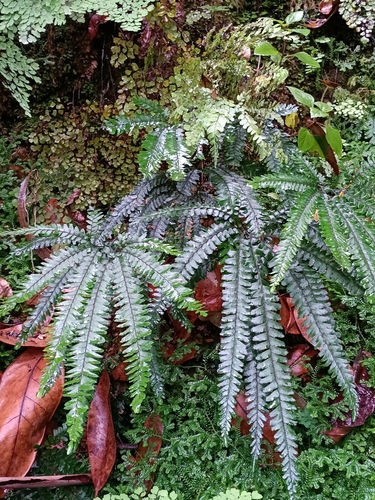
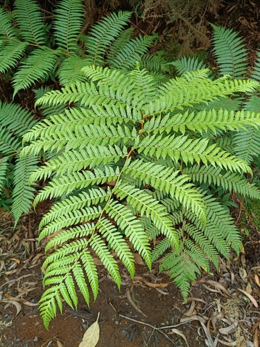
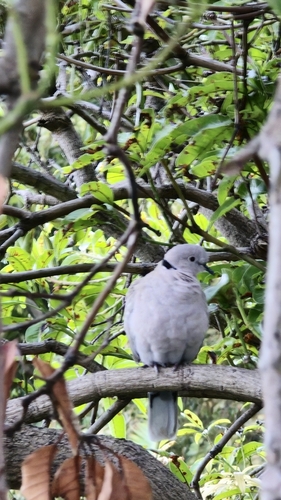
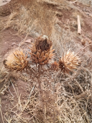
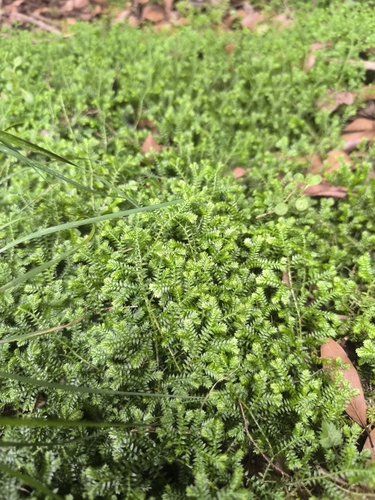
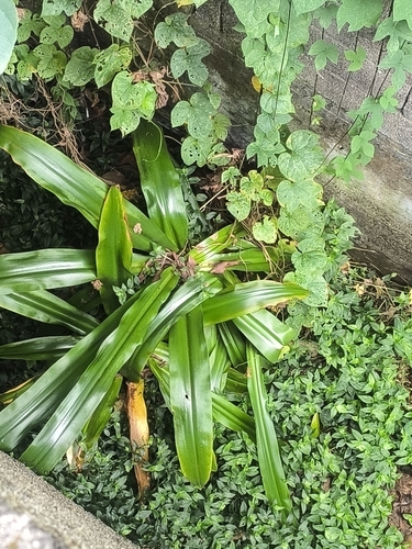
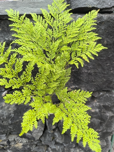
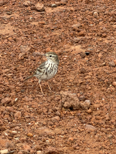
Research-grade observations from iNaturalist (within ~15 mi).
Events
Gallery
Official Identifiers
INE Portugal
- INE ID
- 310402
- Population (Wikidata)
- 3,548
- Wikidata
- Q857987
INE ID via Wikidata P6324
Sources
- • Wikipedia
- • Wikidata
- • iNaturalist
- • Open-Meteo / sunrise-sunset.org
- • Wikipedia Pageviews API
- • Open Library
- • Wikidata SPARQL (CC0) — population, area, elevation, inception, head of government, Commons image
- • INE Portugal — INE ID via Wikidata P6324