Browse / Portugal / Madeira / Machico
Machico
Madeiracity

Machico
Total population
11,505
Demographic figures from INE Portugal. Overview below cites Wikipedia and may reference a different year.
City facts
Overview
Machico is a municipality, parish and city in the southeast part of the island of Madeira, in the Autonomous Region of Madeira. The easternmost municipality on the island, it is also the third-most populous area with a population of 21,828 in 2011. The town, proper, had a population of 10,894 in 2001.
Read more on WikipediaHistory & geography
History
In calm waters of the early afternoon, on 1 July 1419, João Gonçalves Zarco and Tristão Vaz Teixeira disembarked on the beach of Machico, beginning the era of Portuguese discoveries. On the beach a Mass of thanksgiving was celebrated by Franciscan priests on the feast of the Visitation (2 June), an image of which accompanied the expedition. and continued to grow, following the course of the ravine into the valley. Two poles developed: the right margin, that included the main barrio and the town's public institutions (municipal chamber, customshouse and church), and the left margin, that included nucleus of Banda d'Além, the Misericórdia (social centre) and Chapel of Christ, now known as the Chapel of Nosso Senhor dos Milagres (Our Lord of Miracles). In 1803, a landslide was responsible for the destruction of various homes, destroying hedges and walls, the main bridge along the ravine and the Chapel of Nosso Senhor dos Milagres. Machico also became a front-line during the Revolta da Madeira (Madeira Revolt) in April 1931.
Geography
Machico is located 17 km northeast of Funchal, northwest of the uninhabitable Savage Islands, 20 km southeast of Santana and west-southwest of Porto Santo in the extreme eastern portion of the island of Madeira. It is linked by road from Funchal (the regional capital), to the Santana and the villages of Ribeira Seca and Caniçal. To the existence of mountains on the western coast, it is sandwiched along the coast from the rest of the islands' settlements, while forests lie towards the interior and grasslands cover the north-eastern corner of the municipality. Geomorphologically, the municipality is dominated by steeped and inclined topography, except in the Machico valley (where slopes are gentle), formed by two mountain ranges: in the east Pico do Facho and to the west the Queimada plateau. Examples of these differences include the area south of Porto da Cruz (in the watershed of Ribeira do Juncal) and in Caniçal (in the Ribeira da Palmeira watershed). Due to its location and morphological characteristics, the climate of Madeira is complex, whose difference from place to place is accentuated, even in areas relatively close. Machico temperatures are relatively moderate throughout the year, with variation relatively low (only accentuated between elevations). Administratively, the municipality is governed from its seat in the city of Machico, but five local juntas de freguesia (civil parish government) handle issues in the communities of: * Água de Pena – supposedly the area explored by João Gonçalos Zarco and his crew after anchoring in Madeira, Pena is the smallest parish in the municipality, and developed from various reconfigurations of the border between Machico and Santa Cruz, today its population includes 1700 inhabitants (2001 census); * Caniçal – an…
Excerpted from the corresponding Wikipedia article (CC BY-SA).
Geography
Coordinates & boundaries from the US Census TIGER/Line shapefiles.
Climate
Air quality
Walkability
Amenities nearby
Wildlife & biodiversity
Most-observed species
- Eurasian BlackbirdTurdus merula Linnaeus, 1758 · Aves3,720
- Yellow-legged GullLarus michahellis J.F.Naumann, 1840 · Aves3,700
- Eurasian KestrelFalco tinnunculus Linnaeus, 1758 · Aves3,699
- Island CanarySerinus canaria (Linnaeus, 1758) · Aves3,429
- Madeira ChaffinchFringilla maderensis Sharpe, 1888 · Aves3,195
- Eurasian BlackcapSylvia atricapilla (Linnaeus, 1758) · Aves3,005
- Madeira Wall LizardTeira dugesii (Milne-Edwards, 1829) · Squamata2,985
- Rock PigeonColumba livia J.F.Gmelin, 1789 · Aves2,812
Citizen-science & research observations from the Global Biodiversity Information Facility (GBIF).
Earthquake history
Most recent
- M 4 — 2025-09-2438 km E of Caniçal, Portugal
- M 4.4 — 2022-04-0915 km SSE of Caniço, Portugal
- M 4.9 — 2022-02-16Madeira Islands, Portugal region
- M 3.8 — 2020-03-1546 km S of Caniço, Portugal
- M 5.3 — 2020-03-0727 km S of Caniço, Portugal
- M 4.1 — 2008-07-2157 km SE of Caniçal, Portugal
Events from the USGS Earthquake Catalog (global) (FDSN Event Web Service).
Photos
Sights & places nearby
Notable people from here


People born within ~10 km, from Wikidata (CC0). Click any name for their Wikipedia article.
Nearby places in Madeira
- Água de Pena1.2 mi away · pop. 1,759
- Ribeira Seca1.2 mi away
- Caniçal1.9 mi away · pop. 3,924
- Maroços2.1 mi away
- Santa Cruz2.9 mi away · pop. 6,952
- Santo António da Serra3.2 mi away · pop. 1,355
- Porto da Cruz5 mi away · pop. 2,597
- Camacha5.5 mi away · pop. 7,991
- São Roque do Faial6.2 mi away · pop. 386
- Caniço6.5 mi away · pop. 20,163
- Lombo de Cima6.6 mi away
- Faial6.8 mi away · pop. 1,567
Geography & sun
Elevation, sunrise/sunset and daylight from Open-Meteo. Solar climatology from NASA POWER.
Nearby airports
Public attention
Pageview totals from the Wikimedia Pageviews API.
Books about this place
Recent natural events nearby
Ground air-quality sensors
Recently spotted species
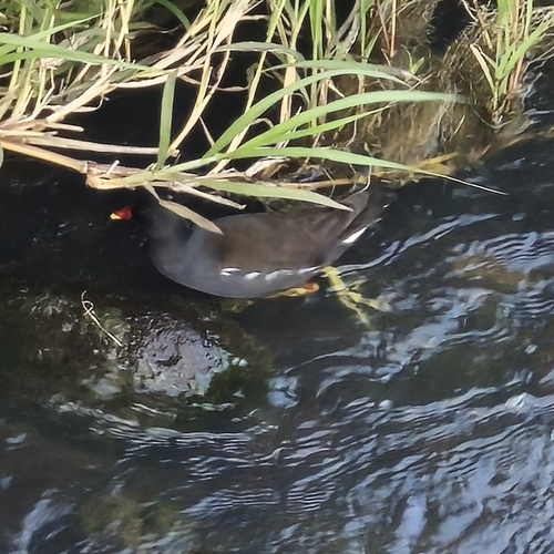
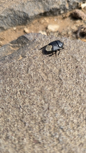
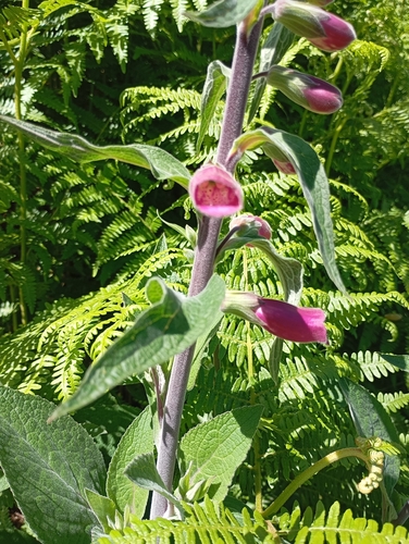
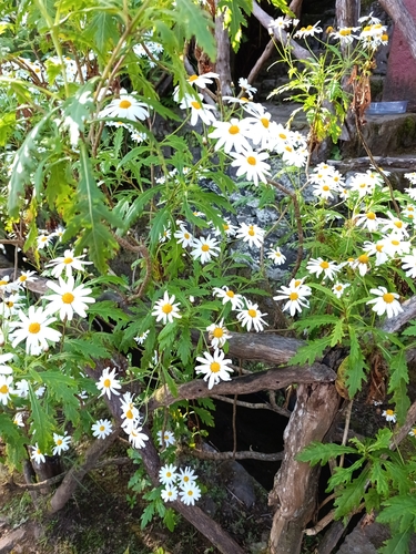
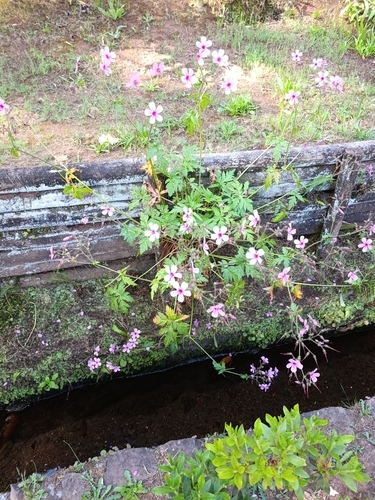
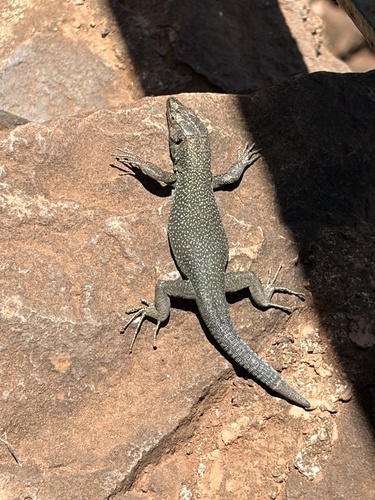
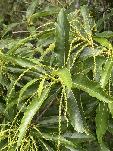
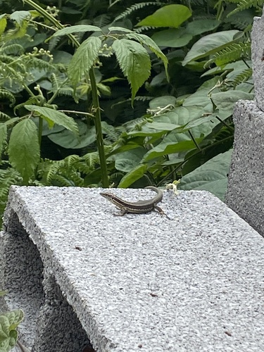
Research-grade observations from iNaturalist (within ~15 mi).
Events
Gallery
Geotagged photos within ~6 miles of Machico, from Wikimedia Commons contributors.
.jpg) 0.1 mi
0.1 mi.jpg) 0.1 mi
0.1 mi.jpg) 0.2 mi
0.2 mi.jpg) 0.2 mi
0.2 mi.jpg) 0.2 mi
0.2 mi.jpg) 0.2 mi
0.2 mi.jpg) 0.2 mi
0.2 mi.jpg) 0.2 mi
0.2 mi.jpg) 0.2 mi
0.2 mi.jpg) 0.2 mi
0.2 mi.jpg) 0.2 mi
0.2 mi.jpg) 0.2 mi
0.2 mi.jpg) 0.2 mi
0.2 mi.jpg) 0.2 mi
0.2 mi.jpg) 0.2 mi
0.2 mi.jpg) 0.2 mi
0.2 mi.jpg) 0.2 mi
0.2 mi.jpg) 0.2 mi
0.2 mi.jpg) 0.2 mi
0.2 mi.jpg) 0.2 mi
0.2 mi.jpg) 0.2 mi
0.2 mi.jpg) 0.2 mi
0.2 mi.jpg) 0.2 mi
0.2 mi.jpg) 0.2 mi
0.2 miPhotos via Wikimedia Commons — see each image page for license & attribution.
Sources
- • Wikipedia
- • Wikimedia Commons
- • Wikidata
- • USGS Earthquake Catalog (global feed)
- • GBIF (Global Biodiversity Information Facility)
- • iNaturalist
- • Open-Elevation
- • Open-Meteo / sunrise-sunset.org
- • Wikipedia Pageviews API
- • Wikidata SPARQL (CC0) — population, area, elevation, inception, head of government, Commons image