Browse / Portugal / Setúbal / Corroios
Corroios
Setúbaltown
Total population
9,460
Demographic figures from INE Portugal. Overview below cites Wikipedia and may reference a different year.
City facts
Facts from Wikidata (CC0).
Overview
Corroios is a civil parish in the municipality of Seixal in the district of Setúbal, Portugal. It is part of the Lisbon metropolitan area. The population in 2011 was 47,661, in an area of 17.11 km2. Corroios remains as the second most populous town in Portugal, after Algueirão-Mem Martins. The town is located on the south side of the Tagus River, opposite Lisbon, the capital of Portugal.
Read more on WikipediaHistory & geography
History
The oldest traces of human presence in the Corroios territory date from the Roman occupation and can be found in Quinta do Rouxinol. In 1385 Almada, including a part of Corroios, was donated to D. Nuno Alvares Pereira, Constable of the Kingdom, by King João I. D. Nuno used his land in Corroios to create a farm and in 1403, he built the first mill of the municipality of Seixal: the still-standing Corroios Tidal Mill, now preserved and kept as an industrial monument, but still functional. The Corroios parish was founded in 1369, until then it was a part of the larger Almada that encompassed most of the current territories of Almada and Seixal. During the Age of Discovery, this was an important loading area of shipments to Lisbon. With the creation of the Municipality of Seixal on November 6, 1836, Corroios was extinct and merged into the Freguesia of Amora. But on April 7, 1979, after almost 150 years, the Freguesia of Corroios was restored to an independent village. On May 20, 1993, Corroios rose into a town. Furthermore, Corroios has an important natural heritage; one such example being the Corroios Salt Marsh (Sapal de Corroios), which is integrated in the REN-National Ecological Reserve.
Excerpted from the corresponding Wikipedia article (CC BY-SA).
Geography
Coordinates & boundaries from the US Census TIGER/Line shapefiles.
Climate
Air quality
Walkability
Amenities nearby
Wildlife & biodiversity
Earthquake history
Photos
Sights & places nearby
Notable people from here


People born within ~10 km, from Wikidata (CC0). Click any name for their Wikipedia article.
Nearby places in Setúbal
- Laranjeiro1 mi away · pop. 20,780
- Amora2.1 mi away · pop. 8,884
- Sobreda2.1 mi away · pop. 5,242
- Santo António da Charneca6.6 mi away · pop. 1,409
- Moita8.6 mi away · pop. 13,735
- Vila Nogueira de Azeitão11.3 mi away · pop. 3,578
- Alcochete13 mi away · pop. 11,783
- Setúbal16.2 mi away · pop. 88,646
- Alcácer do Sal39.3 mi away · pop. 5,347
- Alvalade63.7 mi away · pop. 1,605
- Adila719.6 mi away
- Nezla741.4 mi away
Geography & sun
Elevation, sunrise/sunset and daylight from Open-Meteo. Solar climatology from NASA POWER.
Nearby airports
Public attention
Pageview totals from the Wikimedia Pageviews API.
Books about this place
Recent natural events nearby
Ground air-quality sensors
Recently spotted species
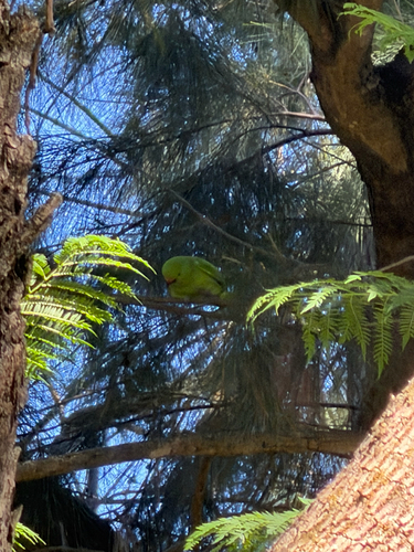
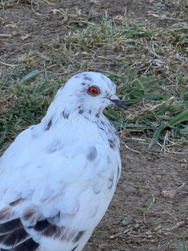
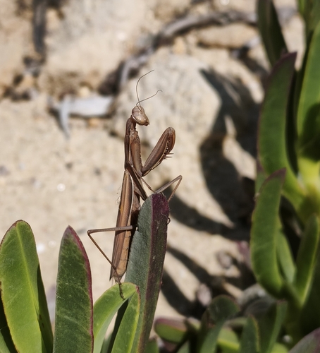
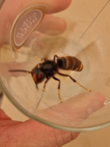
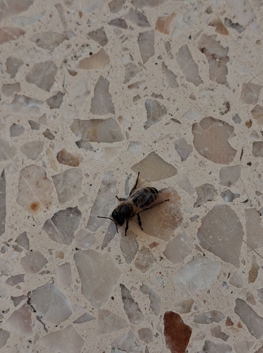
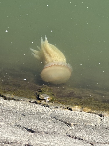
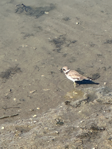
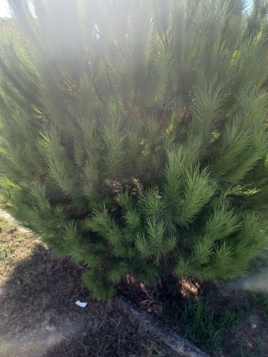
Research-grade observations from iNaturalist (within ~15 mi).
Events
Gallery
Official Identifiers
INE Portugal
- INE ID
- 151005
- Population (Wikidata)
- 46,475
- Wikidata
- Q1135381
INE ID via Wikidata P6324
Sources
- • Wikipedia
- • Wikidata
- • iNaturalist
- • Open-Meteo / sunrise-sunset.org
- • Wikipedia Pageviews API
- • Wikidata SPARQL (CC0) — population, area, elevation, inception, head of government, Commons image
- • INE Portugal — INE ID via Wikidata P6324