Browse / Portugal / Setúbal / Amora
Amora
Setúbalcity

Amora
Total population
8,884
Demographic figures from INE Portugal. Overview below cites Wikipedia and may reference a different year.
City facts
Facts from Wikidata (CC0).
Overview
Amora is a city and civil parish in the municipality of Seixal in the district of Setúbal, Portugal. It is part of the Lisbon metropolitan area. The population in 2011 was 48,629, in an area of 24.36 km2.
Read more on WikipediaHistory & geography
History
The parish was first mentioned in 1384 in the Chronicles of John I, a work of Fernão Lopes. From this period apparently dates the first population settlement in the area, which was located in Cheira Ventos, in the present day area of Talaminho. The parish was elevated to the status of town on 30 June 1989, and city on 20 May 1993. Amora has a privileged geographic position, with a large area supported by two arms of the Tagus River (one that ends in the northeast, in Corroios, and another in the south, at Torre da Marinha), that facilitate contact to exterior by river. Overland it was always a point of passage between Cacilhas and the south (Azeitão, Setúbal and Sesimbra), functioning as a corridor that connected the capital to the south. Much like many of the other settlements of Seixel, Amora's origins and development were the result the Tagus estuary, since the Middle Ages. It was the Tagus that united the communities, that included seamen, bushmen, millers, workers and laundresses, since the 18th century, but its history extends back to the 14th century. In 1384, Fernão Lopes, referred to this settlement as the location of galleys of the Master of Avis, situated on the arms of the Tagus, between Seixel, Arrentela and Amora, during the Castillian battles. Documents from the 16th and 18th centuries refer to the concentration of inhabitants around Cheira Ventos, later known as Amora Velha. But, continued settlement meant the extension of settlements along the river, resulting in the creation of several other urban nuclei: Amora de Baixo, at the rivers edge, and Amora de Cima, alongside the parochial church, in addition to many of the noble estates that were scattered throughout the ecclesiastical parish. Economically, the parish during the Middle Ages was dominated…
Geography
Amora, is one of the three civil parishes of the municipality of Seixal, integrated into the metropolitan area of Lisbon, along the south margin of the Tagus estuary. It is bordered on the west by the parish of Corroios, east by the parishes of Seixal, Arrentela and Fernão Ferro, while on the south by the municipality of Sesimbra. There are several individual localities and small towns that dot the landscape of Amora, including: * Amora * Belverde * Cruz de Pau * Fogueteiro * Foros de Amora * Medideira * Paivas * Pinhal Conde da Cunha * Quinta da Princesa * Soutelo * Vale de Gatos Amora is crossed by important road networks, including the A2 motorway and the Estrada Nacional 10. It has two railway stations on the Fertagus line from Lisbon to Setúbal: Fogueteiro and Foros de Amora.
Excerpted from the corresponding Wikipedia article (CC BY-SA).
Geography
Coordinates & boundaries from the US Census TIGER/Line shapefiles.
Climate
Air quality
Walkability
Amenities nearby
Wildlife & biodiversity
Most-observed species
- Eurasian BlackbirdTurdus merula Linnaeus, 1758 · Aves35,951
- House SparrowPasser domesticus (Linnaeus, 1758) · Aves34,099
- Rock PigeonColumba livia J.F.Gmelin, 1789 · Aves31,326
- Spotless StarlingSturnus unicolor Temminck, 1820 · Aves25,458
- Black RedstartPhoenicurus ochruros (S.G.Gmelin, 1774) · Aves21,689
- Eurasian Collared-DoveStreptopelia decaocto (Frivaldszky, 1838) · Aves20,802
- Common Wood-PigeonColumba palumbus Linnaeus, 1758 · Aves18,169
- European SerinSerinus serinus (Linnaeus, 1766) · Aves18,038
Citizen-science & research observations from the Global Biodiversity Information Facility (GBIF).
Earthquake history
Photos
Sights & places nearby
Notable people from here


People born within ~10 km, from Wikidata (CC0). Click any name for their Wikipedia article.
Nearby places in Setúbal
- Corroios2.1 mi away · pop. 9,460
- Sobreda4.2 mi away · pop. 5,242
- Moita6.8 mi away · pop. 13,735
- Vila Nogueira de Azeitão9.4 mi away · pop. 3,578
- Alcochete12.1 mi away · pop. 11,783
- Setúbal14.1 mi away · pop. 88,646
- Alcácer do Sal37.2 mi away · pop. 5,347
- Alvalade61.8 mi away · pop. 1,605
- Adila717.6 mi away
- Nezla739.4 mi away
- Busḥel739.6 mi away
- Aghrib744.6 mi away · pop. 12,474
Geography & sun
Elevation, sunrise/sunset and daylight from Open-Meteo. Solar climatology from NASA POWER.
Nearby airports
Public attention
Pageview totals from the Wikimedia Pageviews API.
Books about this place
Recent natural events nearby
Ground air-quality sensors
Recently spotted species
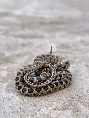
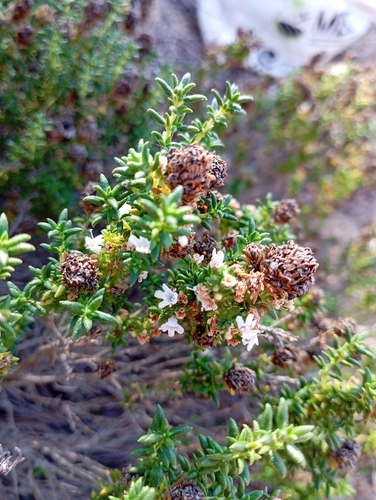
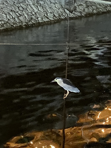
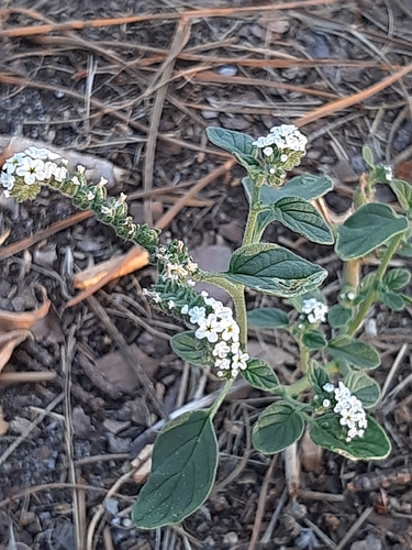
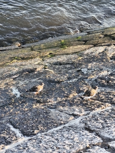
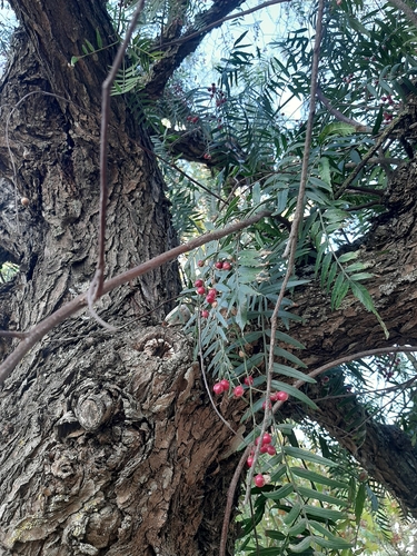
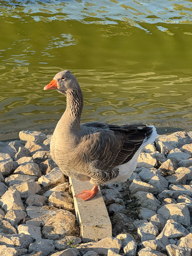
Research-grade observations from iNaturalist (within ~15 mi).
Events
Gallery
Official Identifiers
INE Portugal
- INE ID
- 151002
- Population (Wikidata)
- 48,629
- Wikidata
- Q474039
INE ID via Wikidata P6324
Sources
- • Wikipedia
- • Wikidata
- • GBIF (Global Biodiversity Information Facility)
- • iNaturalist
- • Open-Meteo / sunrise-sunset.org
- • Wikipedia Pageviews API
- • Wikidata SPARQL (CC0) — population, area, elevation, inception, head of government, Commons image
- • INE Portugal — INE ID via Wikidata P6324