Browse / Portugal / Setúbal / Moita
Moita
Setúbaltown

Featured view
Moita
Total population
13,735
Land area55.26 km²
Coordinates38.65°, -8.99°
Demographic figures from INE Portugal. Overview below cites Wikipedia and may reference a different year.
Loading additional data from public sources…0 / 11
CensusWikipediaWeatherPlacesPeopleEnvironmentHealth & SchoolsRelatedGeography & CultureLive MonitoringEvents & Gallery
0% completeCity facts
Area
55.26 km²
Official website
www.cm-moita.ptSister cities
Facts from Wikidata (CC0).
Overview
Moita is a municipality in the district of Setúbal in Portugal. The population in 2011 was 66,029, in an area of 55.26 km2.
Read more on WikipediaHistory & geography
Geography
Latitude
38.6524
Longitude
-8.9935
Water area
—
Coordinates & boundaries from the US Census TIGER/Line shapefiles.
Climate
Air quality
Walkability
Amenities nearby
Wildlife & biodiversity
Earthquake history
Photos
Sights & places nearby
Notable people from here
Nearby places in Setúbal
- Santo António da Charneca2.8 mi away · pop. 1,409
- Amora6.8 mi away · pop. 8,884
- Alcochete7.4 mi away · pop. 11,783
- Corroios8.6 mi away · pop. 9,460
- Laranjeiro8.7 mi away · pop. 20,780
- Vila Nogueira de Azeitão9.3 mi away · pop. 3,578
- Setúbal10.4 mi away · pop. 88,646
- Sobreda10.6 mi away · pop. 5,242
- Alcácer do Sal32.4 mi away · pop. 5,347
- Alvalade59.1 mi away · pop. 1,605
- Cercal do Alentejo61.3 mi away · pop. 1,795
- Adila711.2 mi away
Geography & sun
Avg solar (kWh/m²/day)
4.87
Annual solar (kWh/m²)
1,778
Elevation, sunrise/sunset and daylight from Open-Meteo. Solar climatology from NASA POWER.
Nearby airports
Public attention
Wikipedia views (last 30 days)
319
Avg daily Wikipedia views
11
Attention level
Obscure
Pageview totals from the Wikimedia Pageviews API.
Books about Moita
Património religioso do Concelho da Moita
Rui Manuel Mesquita Mendes · 2020
A Baixa da Banheira até aos nossos dias
José Rosa Figueiredo · 1979
Search results from Open Library.
Recent natural events nearby
Ground air-quality sensors
Recently spotted species
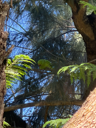
Rose-ringed Parakeet
Psittacula krameri
Seen 2026-09-18
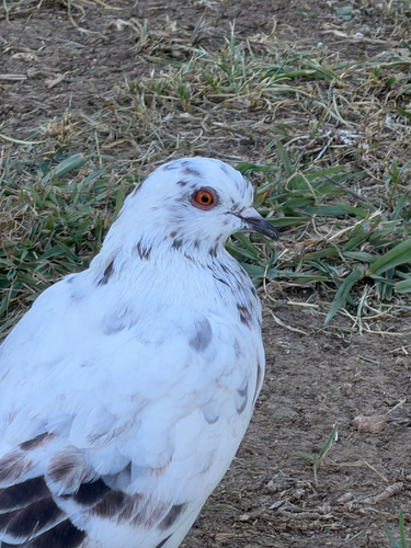
Feral Pigeon
Columba livia domestica
Seen 2026-09-18
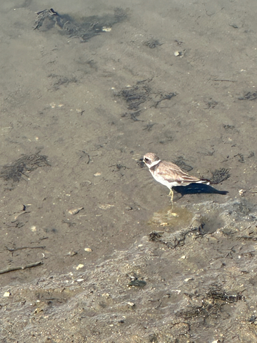
Common Ringed Plover
Charadrius hiaticula
Seen 2026-09-18

common water hyacinth
Pontederia crassipes
Seen 2026-09-18
Common Wood-Pigeon
Columba palumbus
Seen 2026-09-18
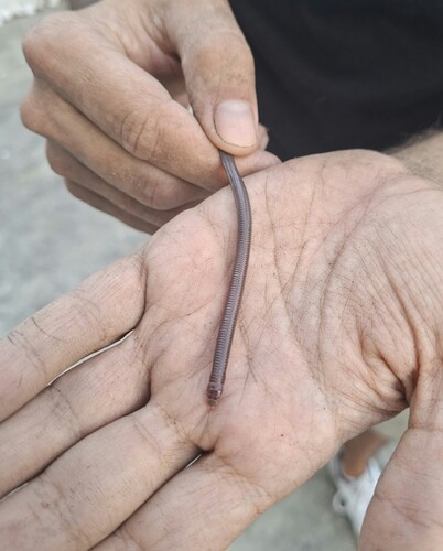
Southwest Iberian Worm Lizard
Blanus cinereus
Seen 2026-09-17
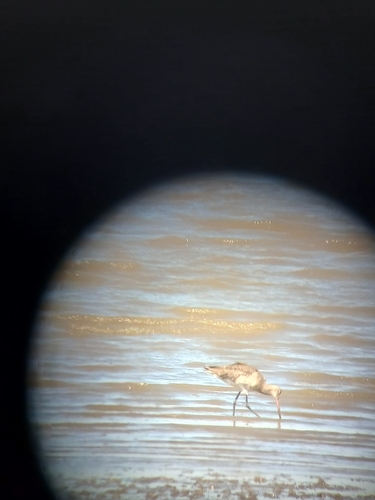
Black-tailed Godwit
Limosa limosa
Seen 2026-09-17
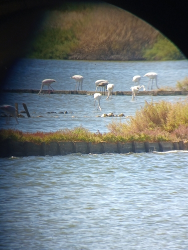
Greater Flamingo
Phoenicopterus roseus
Seen 2026-09-17
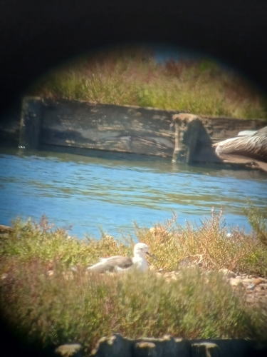
Black-winged Stilt
Himantopus himantopus
Seen 2026-09-17
Research-grade observations from iNaturalist (within ~15 mi).
Events
Gallery
Sources
- • Wikipedia
- • Wikidata
- • iNaturalist
- • Open-Meteo / sunrise-sunset.org
- • Wikipedia Pageviews API
- • Open Library
- • Wikidata SPARQL (CC0) — population, area, elevation, inception, head of government, Commons image