Browse / Portugal / Madeira / Fajã da Ovelha
Fajã da Ovelha
Madeiravillage

Fajã da Ovelha
Total population
895
Demographic figures from INE Portugal. Overview below cites Wikipedia and may reference a different year.
City facts
Facts from Wikidata (CC0).
Overview
Fajã da Ovelha is a civil parish in the municipality of Calheta in the Portuguese island of Madeira. The population in 2011 was 895, in an area of 22.16 km2. Located about 7 km northwest of the town of Calheta, this parish includes three bands of residential, forested and mountain area; the population is actually concentrated in the area between ocean cliffs and main regional road.
Read more on WikipediaHistory & geography
History
Fajã da Ovelha originally served as a port of easy access to Madeira, in an area that crossed by several major ravines. Much like many of the parishes, the settlement originally formed around a small chapel, this dedicated to São Lourenço, and the community was drawn together common agricultural roots. It is unclear when the settlement formed, and the unique story relates to a settler, Gonçalo Ferreira de Carvalho, who "lived [here] in the years around 1480". A few branches of families from Calheta and Paul, began to settle in this area, but no clear point marked the organization of a colony. The Chapel of São Lourenço (), of a Manueline-style, was established at the end of the 16th century, as a small sacristy, and in 1550, it became the basis for the new parish, where it remained until the second quarter of the 18th century. From regal charter, dated 11 April 1553, the chapel was extended, and by 1559 the local clergy began receiving an increase in their budget. At about this time, the parish of Ponta do Pargo was de-annexed from Fajã da Ovelha, to be closely followed by the parish of Prazeres. The oldest document for this parish, dated 1553, referring to the parochial church first identified this area as Fajã da Ovelha, from which the new parish received its identity. As Gaspar Frutuoso documented: "It is vulgar that a simple episode, an occasional circumstance or a fact of little value, would justify the existence of name applied to a determined site or place, that afterwards it would be converted into a population centre or an important place. Similarly, this occurred with the name of this parish." Fajã da Ovelha existed as an autonomous parish before 1573 and, by the end of the 18th century, its demographic growth justified a permanent clergy in the parish.…
Excerpted from the corresponding Wikipedia article (CC BY-SA).
Geography
Coordinates & boundaries from the US Census TIGER/Line shapefiles.
Climate
Air quality
Walkability
Amenities nearby
Wildlife & biodiversity
Earthquake history
Photos
Sights & places nearby
Notable people from here
Nearby places in Madeira
- Lombada dos Marinheiros0.9 mi away
- Raposeira1.2 mi away
- Paul do Mar1.5 mi away · pop. 885
- Maloeira1.7 mi away
- Amparo1.8 mi away
- Prazeres2.5 mi away · pop. 704
- Ponta do Pargo2.7 mi away · pop. 1,145
- Jardim do Mar3 mi away · pop. 252
- Estreito da Calheta3.9 mi away · pop. 1,630
- Estrela4.6 mi away
- Achadas da Cruz4.8 mi away · pop. 159
- Calheta5 mi away
Geography & sun
Elevation, sunrise/sunset and daylight from Open-Meteo. Solar climatology from NASA POWER.
Nearby airports
Public attention
Pageview totals from the Wikimedia Pageviews API.
Books about this place
Recent natural events nearby
Ground air-quality sensors
Recently spotted species
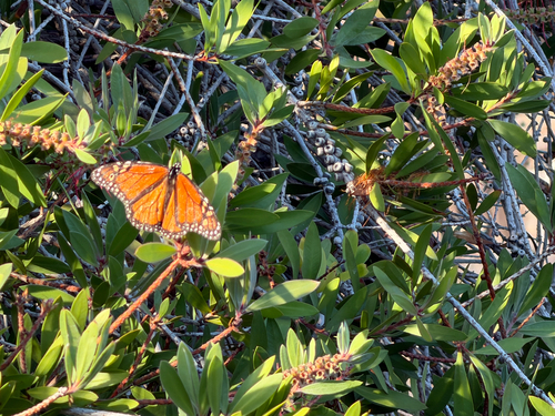
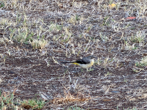
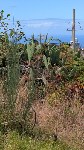
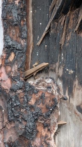
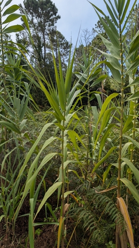
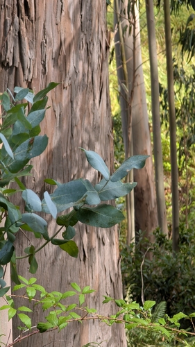
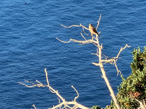
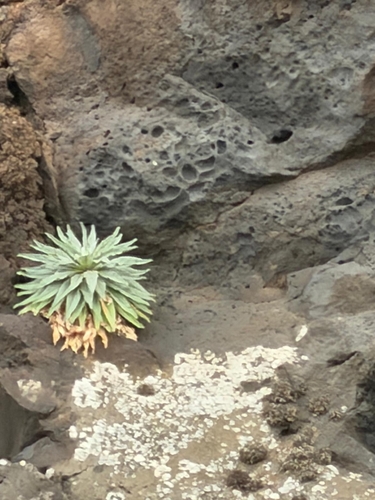
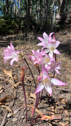
Research-grade observations from iNaturalist (within ~15 mi).
Events
Gallery
Official Identifiers
INE Portugal
- INE ID
- 310104
- Population (Wikidata)
- 812
- Wikidata
- Q2995874
INE ID via Wikidata P6324
Sources
- • Wikipedia
- • Wikidata
- • iNaturalist
- • Open-Meteo / sunrise-sunset.org
- • Wikipedia Pageviews API
- • Wikidata SPARQL (CC0) — population, area, elevation, inception, head of government, Commons image
- • INE Portugal — INE ID via Wikidata P6324