Browse / Portugal / Madeira / Paul do Mar
Paul do Mar
Madeiravillage

Paul do Mar
Total population
885
Demographic figures from INE Portugal. Overview below cites Wikipedia and may reference a different year.
City facts
Facts from Wikidata (CC0).
Overview
Paul do Mar is a civil parish in the municipality of Calheta, in the Portuguese archipelago of Madeira. The population in 2011 was 871, in an area of 1.40 km2.
Read more on WikipediaHistory & geography
History
The origin of the toponymy paul do mar is linked to its geographic position, since paul refers to an elongated zone, which is justified by the parish's location along the southwest coast of Madeira. Its exposure to the ocean, and historical periods when the sea bathed the area with seawater, once characterised the area as the Sitio da Lagoa or Alagoa ( or the lake). Historically, the area experienced flooding from the sea when the Atlantic submerged and inundated fields to a depth of one metre. As a result, a salt factory was established. But, this was closed long ago. Since the construction of a new higher sea wall and ocean front with road and parking the sea flooding has stopped. Paul do Mar's Catholic Church is dedicated to the patron saint of the village Santo Amaro.
Geography
Paul do Mar is accessible by two roads: one connecting the parish with Porto Moniz, Santana, Calheta and Funchal to the east, and another which connects the village to Fajã da Ovelha and Jardim do Mar, along the Atlantic Ocean. It is located about 3 km from the urbanized area of Calheta and about 1 km from Fajã da Ovelha. Calheta has an important art centre () and many of the typical facilities that you would expect in a small village. The historic municipal pedestrian way Caminho Real connects Paúl do Mar with Prazeres. During low tide and when the sea is not too rough, it is possible to walk along the rocky beach to Jardim do Mar. The parish is divided into five localities: * Igreja - the most elevated part of the parish, and the smallest, it is primarily important for being the location of the parochial church and cemetery, which substituted the older chapel that was destroyed to make way for the new building. This event created some consternation in the community, which regarded the older church with pride. It had a large collection of imagery that was routinely exchanged with other parishes. Among other noteworthy buildings are the vestiges of the historical salting industry (mainly the chimneys from the factory) and an older fountain (built in 1889); * Lagoa - receiving its name from the fact that the area is fairly flat and suspectible to ocean swells, the area of Lagoa was regularly flooded by ocean waves during winter storms until the new sea coastal defence system was built. The largest of the localities within Paul do Mar is Espanha. It is located in the centre of the parish, occupying an important centre of activities, including the locations of the health centre and main primary school, in addition to the municipal football field; * Quebrada -…
Excerpted from the corresponding Wikipedia article (CC BY-SA).
Geography
Coordinates & boundaries from the US Census TIGER/Line shapefiles.
Climate
Air quality
Walkability
Amenities nearby
Wildlife & biodiversity
Earthquake history
Photos
Sights & places nearby
Notable people from here

People born within ~10 km, from Wikidata (CC0). Click any name for their Wikipedia article.
Nearby places in Madeira
- Maloeira1.2 mi away
- Raposeira1.2 mi away
- Jardim do Mar1.5 mi away · pop. 252
- Fajã da Ovelha1.5 mi away · pop. 895
- Prazeres1.5 mi away · pop. 704
- Lombada dos Marinheiros2.4 mi away
- Estreito da Calheta2.6 mi away · pop. 1,630
- Estrela3.3 mi away
- Amparo3.4 mi away
- Calheta3.6 mi away
- Ponta do Pargo4.2 mi away · pop. 1,145
- Loreto4.8 mi away
Geography & sun
Elevation, sunrise/sunset and daylight from Open-Meteo. Solar climatology from NASA POWER.
Nearby airports
Public attention
Pageview totals from the Wikimedia Pageviews API.
Books about Paul do Mar

Search results from Open Library.
Recent natural events nearby
Ground air-quality sensors
Recently spotted species
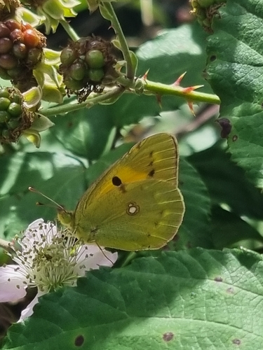
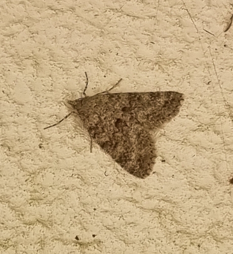
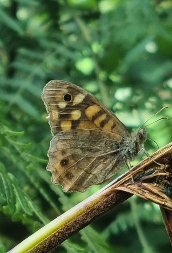
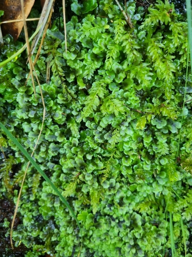
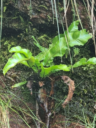
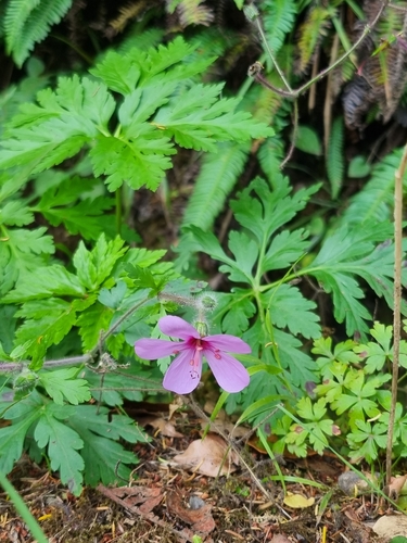
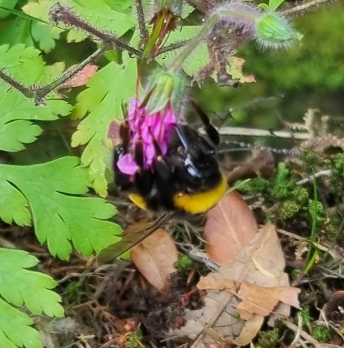
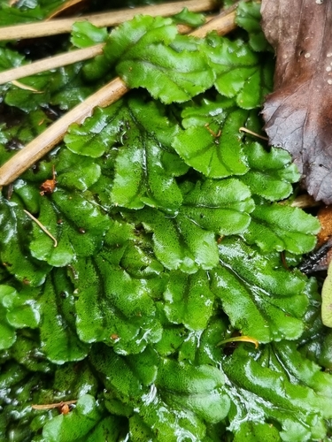
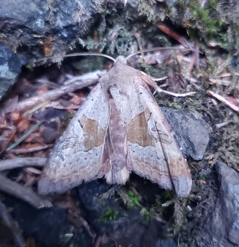
Research-grade observations from iNaturalist (within ~15 mi).
Events
Gallery
Official Identifiers
INE Portugal
- INE ID
- 310106
- Population (Wikidata)
- 635
- Wikidata
- Q946382
INE ID via Wikidata P6324
Sources
- • Wikipedia
- • Wikidata
- • iNaturalist
- • Open-Meteo / sunrise-sunset.org
- • Wikipedia Pageviews API
- • Open Library
- • Wikidata SPARQL (CC0) — population, area, elevation, inception, head of government, Commons image
- • INE Portugal — INE ID via Wikidata P6324