Browse / Portugal / Madeira / Porto Moniz
Porto Moniz
Madeiratown

Porto Moniz
Demographic figures from INE Portugal. Overview below cites Wikipedia and may reference a different year.
City facts
Facts from Wikidata (CC0).
Overview
Porto Moniz is a municipality in the northwest corner of the island of Madeira. It is located west of Santana and Machico, and northwest of Funchal. The population in 2011 was 2,711, in an area of 82.93 km2.
Read more on WikipediaHistory & geography
History
It is unclear when the area of Porto Moniz was first colonized, although it is likely that it occurred at the beginning of the last quarter of the 15th century. Francisco Moniz O Velho, is referred to as one of these first settlers, who had uncultivated lands in this area and was responsible for establishing a farm and chapel. The first settlers were mainly engaged in grain cultivation, cattle breeding and timber harvesting. Francisco Moniz was a nobleman from the Algarve, who married Filipa da Câmara (daughter of Garcia Rodrigues da Câmara). He was one of the sons of João Gonçalves Zarco, the discoverer of Porto Santo (1418) with Tristão Vaz Teixeira and later the island of Madeira with Bartolomeu Perestrelo (1419). From the 18th century, vines were cultivated in the area around Porto Moniz, and from the 19th century, potatoes were grown. The municipality was created on 31 October 1835, but was quickly abolished and reestablished successively in 1849-1855, 1867-1871 and again in 1895-1898. File:Naturschwimmbecken zwischen Lavafelsen in Porto Moniz, Madeira. 07.jpg File:Naturschwimmbecken zwischen Lavafelsen in Porto Moniz, Madeira. 02.jpg File:Naturschwimmbecken zwischen Lavafelsen in Porto Moniz, Madeira. 04.jpg File:Naturschwimmbecken zwischen Lavafelsen in Porto Moniz, Madeira. 12.jpg
Excerpted from the corresponding Wikipedia article (CC BY-SA).
Geography
Coordinates & boundaries from the US Census TIGER/Line shapefiles.
Climate
Air quality
Walkability
Amenities nearby
Wildlife & biodiversity
Earthquake history
Photos
Sights & places nearby
Notable people from here
Nearby places in Madeira
- Lamaçeiros1 mi away
- Ribeira da Janela1.4 mi away · pop. 228
- Santa1.5 mi away
- Achadas da Cruz3 mi away · pop. 159
- Seixal4.5 mi away · pop. 656
- Chão da Ribeira5.1 mi away
- Ponta do Pargo6 mi away · pop. 1,145
- Amparo6.2 mi away
- Lombada dos Marinheiros6.7 mi away
- Raposeira7.3 mi away
- Maloeira7.5 mi away
- Fajã da Ovelha7.5 mi away · pop. 895
Geography & sun
Elevation, sunrise/sunset and daylight from Open-Meteo. Solar climatology from NASA POWER.
Nearby airports
Public attention
Pageview totals from the Wikimedia Pageviews API.
Books about Porto Moniz
Search results from Open Library.
Recent natural events nearby
Ground air-quality sensors
Recently spotted species
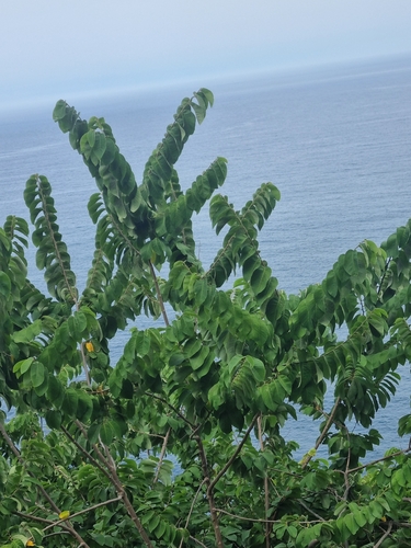
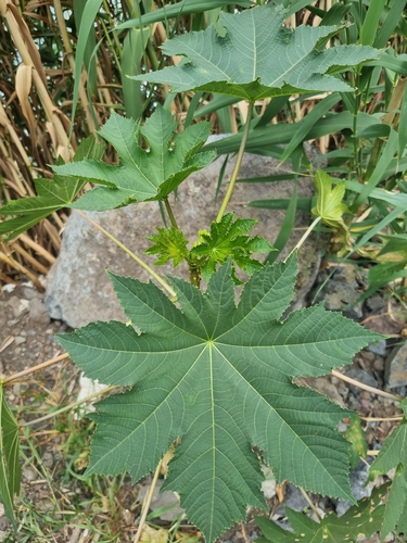
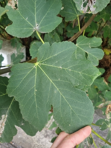
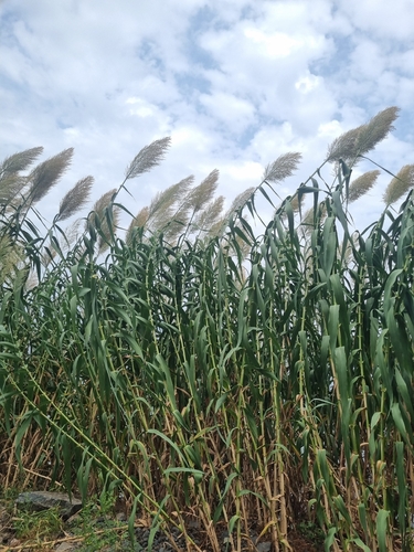
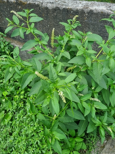
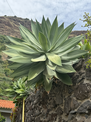
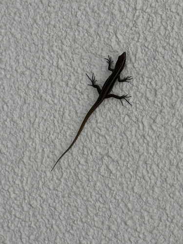
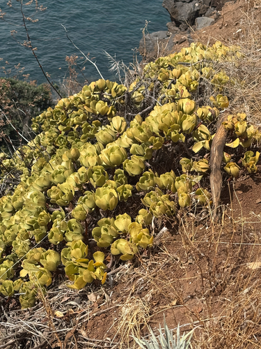
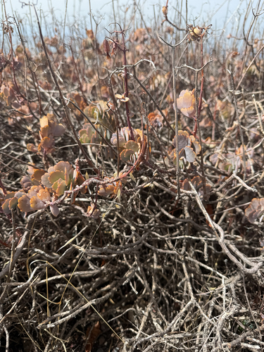
Research-grade observations from iNaturalist (within ~15 mi).
Events
Gallery
Sources
- • Wikipedia
- • Wikidata
- • iNaturalist
- • Open-Meteo / sunrise-sunset.org
- • Wikipedia Pageviews API
- • Open Library