Browse / United States / South Dakota / Rapid City
Rapid City
South Dakotacity

Rapid City
Total population
79,894
Median home value
$344,200
Bachelor's+
Median income
$75,467
Founded
1876
Demographic figures from US Census Bureau · ACS 5-year estimates. Overview below cites Wikipedia and may reference a different year.
- Freeze Warning · SevereFreeze Warning issued October 16 at 4:06AM CDT until October 16 at 10:00AM CDT by NWS Rapid City SD
Source: NOAA National Weather Service.
City facts
Sister cities
Facts from Wikidata (CC0).
Overview
Rapid City is a city in and the county seat of Pennington County, South Dakota, United States. It is located on the eastern slope of the Black Hills in western South Dakota and was named after Rapid Creek, where the settlement developed. It is the second-most populous city in the state with a population of 74,703 as of the 2020 census. The Rapid City metropolitan area has 156,000 residents.
Read more on WikipediaHistory & geography
History
The public discovery of gold in 1874 by the Black Hills Expedition, led by George Armstrong Custer, brought a mass influx of European-American miners and settlers into Rapid City. A group of unsuccessful miners founded Rapid City in 1876, trying to create other chances; they promoted their new city as the "Gateway to the Black Hills"; it was originally known as Hay Camp. The "Gateway" nickname is shared by neighboring Box Elder. In February 1876, John Richard Brennan and Samuel Scott, with a small group of men, laid out Rapid City. It was eventually named for the spring-fed Rapid Creek that flows through it. The land speculators measured off a square mile and designated the six blocks in the center as a business section. Committees were appointed to recruit prospective merchants and their families to locate in the settlement. Such merchants soon began selling supplies to miners and pioneers. The city's location on the edge of the Plains and Hills and its large river valley made it a natural hub for the railroads that were constructed in the late 1880s from both the south and east. By 1900, Rapid City had survived a boom and bust and was developing as an important regional trade center for the Upper Midwest. The Black Hills had become popular in the late 1890s, but Rapid City became a more important destination in the 20th century. Local entrepreneurs promoted the sights, the availability of the automobile for individual transportation, and construction of improved roadways after World War I led to many more tourists to this area, including President Calvin Coolidge and the First Lady in summer 1927. Coolidge announced that he would not seek reelection in 1928 from his summer office in Rapid City. Gutzon Borglum, already a noted sculptor, began work on Mount Rushmore…
Geography
Rapid City is located in the shadow of Black Elk Peak, which at , is the highest point east of the Rocky Mountains. According to the United States Census Bureau, the city has a total area of , of which, is land and is water. Its location makes its climate unlike both the higher elevations of the Black Hills to the west and the Great Plains to the east. It is characterized by long arid summers and long dry winters, with short but distinct spring and autumn seasons. Precipitation averages annually, but has historically ranged from in 1974 to in 1946. Winters are cold and dry, and January is the coldest month with a daily mean temperature of . and 67% of its possible sunshine in June. the record low daily maximum is on February 2, 1989, while the record high daily minimum is on July 8, 1985, and July 28, 1960. At downtown, official extreme temperatures range from on February 11, 1899, up to on July 25, 2026. Rapid City had the record for an extreme temperature drop of , which was achieved on January 10, 1911, from to . This was due to the Chinook wind, but the record was lost to Spearfish in 1942. {{Weather box | location = Rapid City Regional Airport, South Dakota (1991−2020 normals, extremes 1942−present) {{Weather box | location = Rapid City Downtown, South Dakota (1991−2020 normals, extremes 1888−present)
Excerpted from the corresponding Wikipedia article (CC BY-SA).
Demographics & economy
Race & ethnicity
Source: US Census Bureau — American Community Survey, 5-year estimates.
Geography
Coordinates & boundaries from the US Census TIGER/Line shapefiles.
Climate
Current forecast
Forecast for Rapid City, SD from NOAA NWS API.
Air quality
Industrial & pollution facilities
Natural hazard risk
Health (adults)
Age-adjusted prevalence estimates from CDC PLACES (latest release).
Walkability
Amenities nearby
Wildlife & biodiversity
Most-observed species
- MallardAnas platyrhynchos Linnaeus, 1758 · Aves2,913
- Canada Goose (canadensis Group)Branta canadensis (Linnaeus, 1758) · Aves2,734
- House SparrowPasser domesticus (Linnaeus, 1758) · Aves2,692
- Rock PigeonColumba livia J.F.Gmelin, 1789 · Aves2,133
- American RobinTurdus migratorius Linnaeus, 1766 · Aves1,986
- Eurasian Collared-DoveStreptopelia decaocto (Frivaldszky, 1838) · Aves1,856
- European StarlingSturnus vulgaris Linnaeus, 1758 · Aves1,820
- Great Blue/Cocoi HeronArdea herodias Linnaeus, 1758 · Aves1,638
Citizen-science & research observations from the Global Biodiversity Information Facility (GBIF).
Schools
Largest nearby schools
- Central High School - 41High · Rapid City · 1,768 students · 17.7:1 ratio
- Stevens High School - 42High · Rapid City · 1,686 students · 18.9:1 ratio
- Patriot Elementary -06Elementary · Box Elder · 890 students · 13.3:1 ratio
- Douglas High School - 03High · Box Elder · 749 students · 17:1 ratio
- Douglas Middle School - 01Middle · Box Elder · 670 students · 16.3:1 ratio
- Southwest Middle School - 38Middle · Rapid City · 660 students · 19.4:1 ratio
- West Middle School - 37Middle · Rapid City · 612 students · 16.1:1 ratio
- East Middle School - 30Middle · Rapid City · 600 students · 14.6:1 ratio
Public K–12 schools within ~10 mi from Urban Institute Education Data Portal (NCES Common Core of Data, 2022).
Earthquake history
Most recent
- M 2.6 — 2025-06-0819 km NW of Wasta, South Dakota
- M 3.6 — 2025-03-097 km W of Fairburn, South Dakota
- M 3 — 2024-06-2922 km ESE of Hill View Heights, Wyoming
- M 2.9 — 2024-06-167 km NNE of Buffalo Gap, South Dakota
- M 2.8 — 2024-04-0419 km SW of Interior, South Dakota
- M 2.6 — 2021-06-1615 km N of Quinn, South Dakota
Events from the USGS Earthquake Catalog (global) (FDSN Event Web Service).
Photos
Sights & places nearby
Notable people from here


People born within ~10 km, from Wikidata (CC0). Click any name for their Wikipedia article.
Nearby places in South Dakota
- Colonial Pine Hills6.2 mi away
- Box Elder7.3 mi away · pop. 12,902
- Blucksberg Mountain23.1 mi away · pop. 692
- Sturgis27.4 mi away · pop. 7,086
- Custer28.3 mi away · pop. 2,341
- Crook City33 mi away · pop. 279
- Deadwood33.1 mi away · pop. 1,209
- Vale38.9 mi away · pop. 73
- Buffalo Gap40.3 mi away · pop. 131
- St. Onge41.1 mi away · pop. 40
- Spearfish41.6 mi away · pop. 12,930
- Hot Springs46.7 mi away · pop. 3,548
Geography & sun
Elevation, sunrise/sunset and daylight from Open-Meteo. Solar climatology from NASA POWER.
Nearby airports
Public attention
Pageview totals from the Wikimedia Pageviews API.
Books about Rapid City


Search results from Open Library.
Recent natural events nearby
- Wildfire XU Hill, Oglala Lakota, South DakotaWildfires · 2026-08-11 · 50 mi
- Wildfire Rancher fire, Oglala Lakota, South DakotaWildfires · 2026-08-11 · 68 mi
- Wildfire Needles, Oglala Lakota, South DakotaWildfires · 2026-09-04 · 70 mi
- Wildfire Montgomery Draw, Campbell, WyomingWildfires · 2026-08-06 · 132 mi
- Wildfire Cold Springs, Converse, WyomingWildfires · 2026-08-10 · 147 mi
- Wildfire Moonshine, Albany, WyomingWildfires · 2026-09-07 · 181 mi
- Wildfire Harris, Rosebud, MontanaWildfires · 2026-08-09 · 185 mi
- Wildfire Snow, Custer, MontanaWildfires · 2026-09-02 · 192 mi
Wildfires, storms and other events from NASA EONET (last 12 months, within 250 mi).
Ground air-quality sensors
Recently spotted species
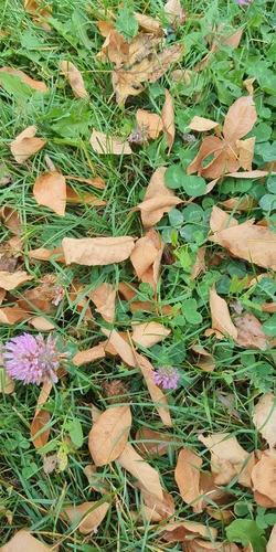
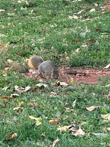
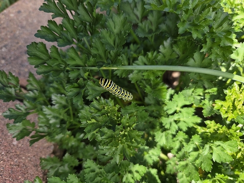
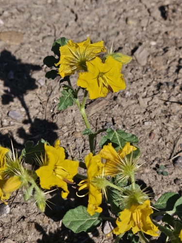
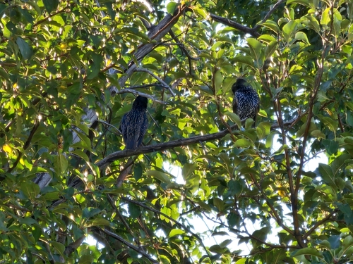
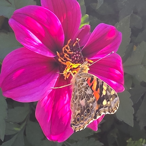
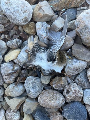
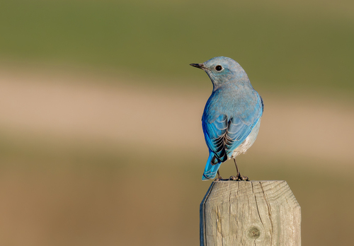
Research-grade observations from iNaturalist (within ~15 mi).
Nearest stream gauge
Live readings from USGS NWIS · measured 2026-10-16 04:30 UTC.
Events
Gallery
Sources
- • Wikipedia
- • US Census Bureau (ACS 5-year estimates)
- • NOAA National Weather Service
- • Wikidata
- • USGS Earthquake Catalog (global feed)
- • USGS NWIS (water data)
- • NCES via Urban Institute Education Data Portal
- • GBIF (Global Biodiversity Information Facility)
- • iNaturalist
- • CDC PLACES
- • Open-Meteo / sunrise-sunset.org
- • Wikipedia Pageviews API
- • Open Library
- • NASA EONET