Browse / Slovakia / Bratislava / Modra
Modra
Bratislavatown

Modra
Total population
8,804
Demographic figures from Statistical Office of Slovakia. Overview below cites Wikipedia and may reference a different year.
City facts
Facts from Wikidata (CC0).
Overview
Modra is a city and municipality in the Bratislava Region in Slovakia. It has a population of 9,201 as of 2013. It nestles in the foothills of the Malé Karpaty and is an excellent centre for hiking.
Read more on WikipediaHistory & geography
History
The first traces of habitation go back to the 3rd millennium BCE, and the first permanent habitation dates back to the time of Great Moravia, when the Slavs lived there. The first mention of Modra was in 1158 in a document of the Géza II of Hungary, when it belonged to the bishop of Nitra. After the Mongol invasion of 1241, the settlement was reconstructed by the German colonists. The first mention of vineyards goes back to 1321. The settlement received its town privileges in 1361 and became a free royal town in 1607. The town fortifications with three gates were constructed in 1610–1647. Since the 17th century, it has been one of the leading craft centers in present-day Slovakia. The ceramic industry and majolica production started in the 19th century. In 1883, a school of ceramics was established, where through the skillfulness of Habaners, the so-called Slovak ceramics were created. The railway track from Bratislava to Trnava bypassed the town in the 1840s, as the local magistrate refused to allow the railway construction.
Excerpted from the corresponding Wikipedia article (CC BY-SA).
Geography
Coordinates & boundaries from the US Census TIGER/Line shapefiles.
Climate
Air quality
Walkability
Amenities nearby
Wildlife & biodiversity
Earthquake history
Photos
Sights & places nearby
Notable people from here
Nearby places in Bratislava
- Vinosady1.9 mi away · pop. 1,125
- Dubová2.4 mi away · pop. 904
- Šenkvice3 mi away · pop. 5,095
- Píla3.9 mi away · pop. 338
- Vištuk4 mi away · pop. 1,357
- Viničné4.4 mi away · pop. 1,795
- Budmerice4.8 mi away · pop. 2,406
- Častá5 mi away · pop. 2,305
- Limbach5.1 mi away · pop. 1,495
- Štefanová5.3 mi away · pop. 354
- Slovenský Grob5.7 mi away · pop. 5,136
- Báhoň6.5 mi away · pop. 1,856
Geography & sun
Elevation, sunrise/sunset and daylight from Open-Meteo. Solar climatology from NASA POWER.
Nearby airports
Public attention
Pageview totals from the Wikimedia Pageviews API.
Books about Modra
Search results from Open Library.
Recent natural events nearby
Ground air-quality sensors
Recently spotted species
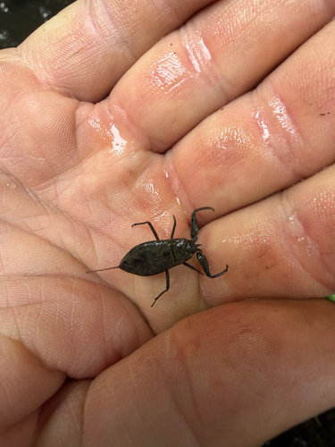
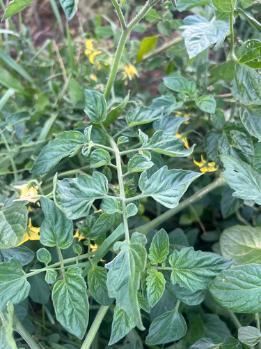
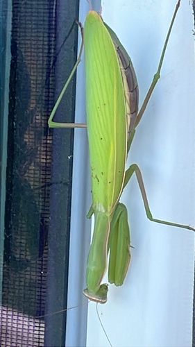
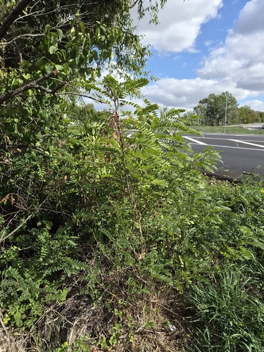
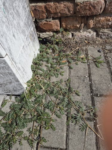
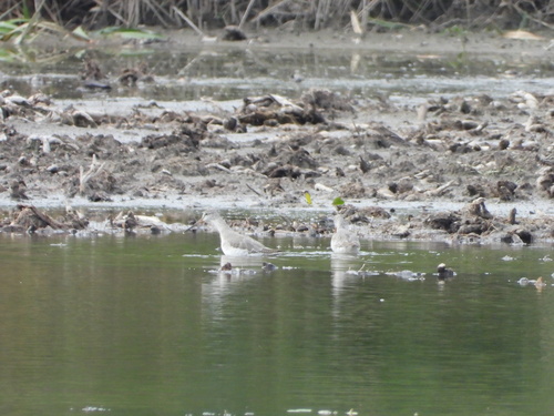
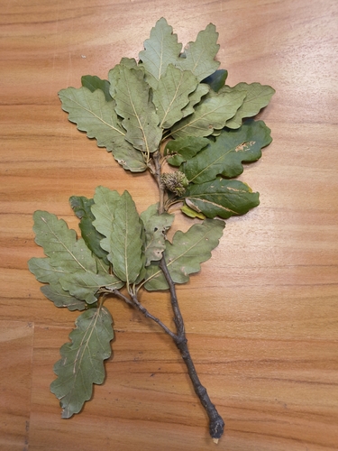
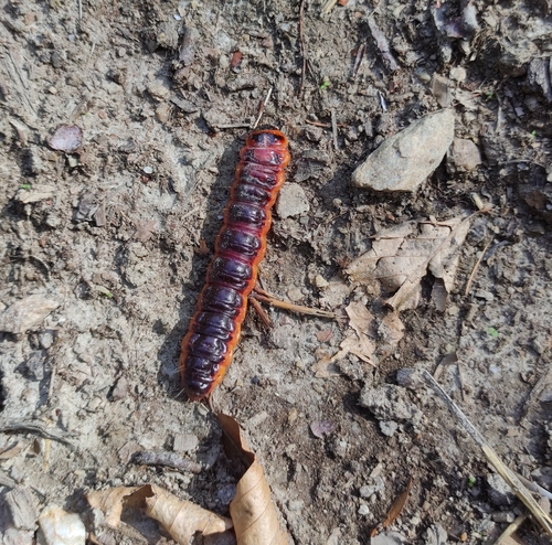
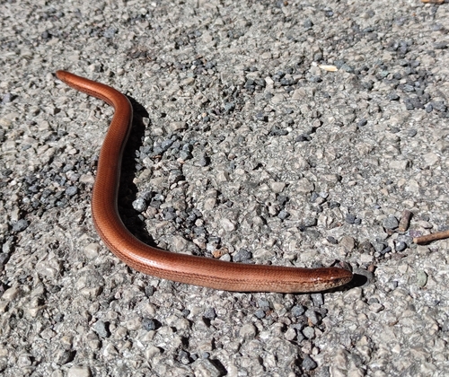
Research-grade observations from iNaturalist (within ~15 mi).
Events
Gallery
Sources
- • Wikipedia
- • Wikidata
- • iNaturalist
- • Open-Meteo / sunrise-sunset.org
- • Wikipedia Pageviews API
- • Open Library