Browse / Slovakia / Prešov / Stará Lesná
Stará Lesná
Prešovvillage

Stará Lesná
Total population
968
Founded
1294
Demographic figures from Statistical Office of Slovakia. Overview below cites Wikipedia and may reference a different year.
City facts
Facts from Wikidata (CC0).
Overview
Stará Lesná or "Old Forest" is a village and municipality in Kežmarok District in the Prešov Region in north-central Slovakia. Stará Lesná is located in an area traditionally known as Spiš and it is situated within the Slovak Tourism Region of the Tatras.
Read more on WikipediaHistory & geography
History
The tourism region of the Tatras encompasses today the northern half (except for a tiny tip lying in Poland) of what used to be Scepusium or Szepes County. It was a part of the Kingdom of Hungary from the creation of the county in the second half of the 12th century to 1918 when Austria-Hungary ceased to exist and Czechoslovakia was created. This northern borderland was never really inhabited by Hungarians, but up until the last world war there was a substantial population of Carpathian Germans in Spiš or "Zips", where they began to arrive in the mid-12th century. Stará Lesná was mentioned for the first time in 1294. The village was founded by the Berzeviczys, a family whose forefather Rutkér of Mátray (Matrei), an ispán, arrived to Spiš County from Tyrol in the beginning of the 13th century. The village belonged to a German language island. The German population was expelled in 1945.
Geography
To the north, Stará Lesná is bordered by the town of Vysoké Tatry and Tatra National Park. Line no. 184 of the Tatra Electric Railway connects Stará Lesná with Tatranská Lomnica and Starý Smokovec; the latter is connected to Štrbské Pleso and Poprad by line no. 183.
Excerpted from the corresponding Wikipedia article (CC BY-SA).
Geography
Coordinates & boundaries from the US Census TIGER/Line shapefiles.
Climate
Air quality
Walkability
Amenities nearby
Wildlife & biodiversity
Earthquake history
Photos
Sights & places nearby
Notable people from here


People born within ~10 km, from Wikidata (CC0). Click any name for their Wikipedia article.
Nearby places in Prešov
- Veľký Slavkov3.2 mi away · pop. 1,217
- Gerlachov5.3 mi away · pop. 813
- Žakovce5.6 mi away · pop. 782
- Kežmarok5.6 mi away · pop. 17,013
- Poprad5.7 mi away · pop. 54,931
- Ľubica6.5 mi away · pop. 4,032
- Lendak7.1 mi away · pop. 4,820
- Slovenská Ves8.2 mi away · pop. 1,816
- Abrahámovce8.9 mi away
- Hôrka9 mi away · pop. 1,677
- Bušovce9.9 mi away · pop. 313
- Jánovce10 mi away · pop. 1,247
Geography & sun
Elevation, sunrise/sunset and daylight from Open-Meteo. Solar climatology from NASA POWER.
Nearby airports
Public attention
Pageview totals from the Wikimedia Pageviews API.
Books about this place
Recent natural events nearby
Ground air-quality sensors
Recently spotted species
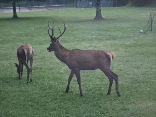
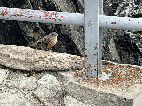
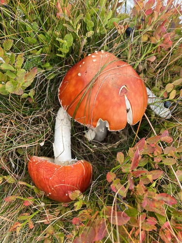
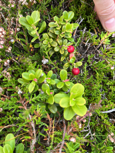
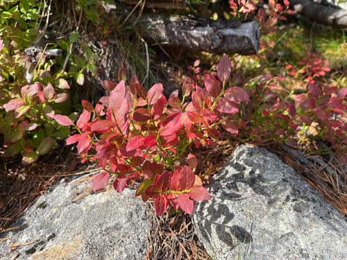
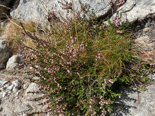
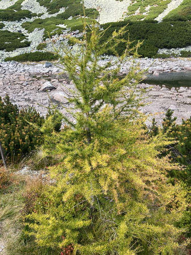
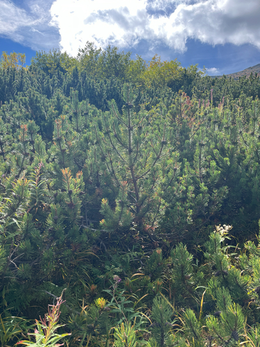
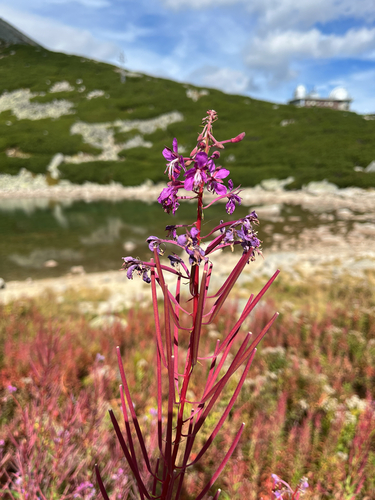
Research-grade observations from iNaturalist (within ~15 mi).
Events
Gallery
Sources
- • Wikipedia
- • Wikidata
- • iNaturalist
- • Open-Meteo / sunrise-sunset.org
- • Wikipedia Pageviews API