Browse / Thailand / Surat Thani / Don Sak
Don Sak
Surat Thanitown

Don Sak
Air quality index
Demographic figures from National Statistical Office of Thailand. Overview below cites Wikipedia and may reference a different year.
City facts
Overview
Don Sak is a district (amphoe) in eastern Surat Thani province. The two principal ferry companies offering service to Samui Island leave from piers in the district.
Read more on WikipediaHistory & geography
Geography
Coordinates & boundaries from the US Census TIGER/Line shapefiles.
Climate
Air quality
Current readings from Open-Meteo Air Quality API (Copernicus CAMS European reanalysis).
Walkability
Amenities nearby
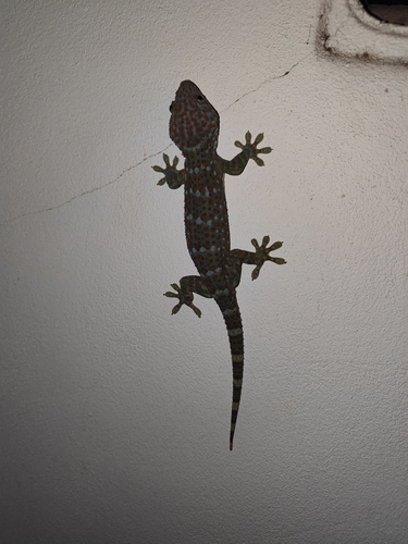
Wildlife & biodiversity
Most-observed species
- Common MynaAcridotheres tristis (Linnaeus, 1766) · Aves72
- Spotted doveSpilopelia chinensis (Scopoli, 1786) · Aves66
- Pacific SwallowHirundo javanica Sparrman, 1789 · Aves63
- Pacific Reef-HeronEgretta sacra (Gmelin, 1789) · Aves50
- Yellow-vented BulbulPycnonotus goiavier (Scopoli, 1786) · Aves49
- Common IoraAegithina tiphia (Linnaeus, 1758) · Aves48
- Lineated BarbetPsilopogon lineatus (Vieillot, 1816) · Aves46
- Indochinese RollerCoracias affinis Horsfield, 1840 · Aves45
Citizen-science & research observations from the Global Biodiversity Information Facility (GBIF).
Earthquake history
Events from the USGS Earthquake Catalog (global) (FDSN Event Web Service).
Photos
Sights & places nearby
Notable people from here
Nearby places in Surat Thani
Geography & sun
Elevation, sunrise/sunset and daylight from Open-Meteo. Solar climatology from NASA POWER.
Nearby airports
Public attention
Pageview totals from the Wikimedia Pageviews API.
Books about this place
Recent natural events nearby
Ground air-quality sensors
Recently spotted species
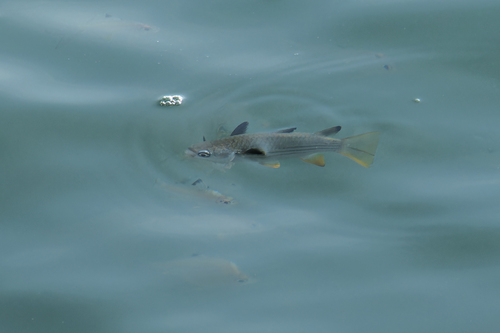
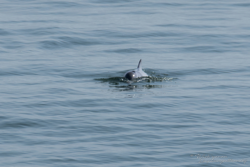
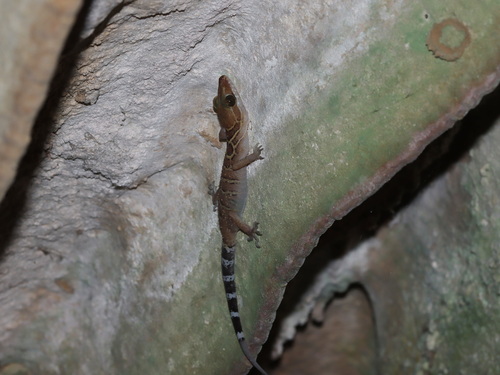
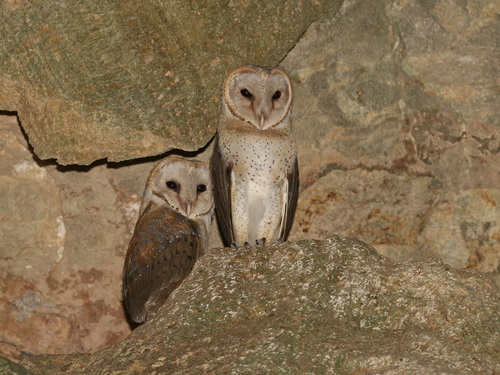
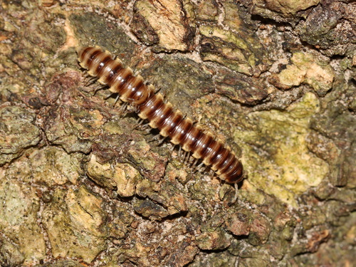
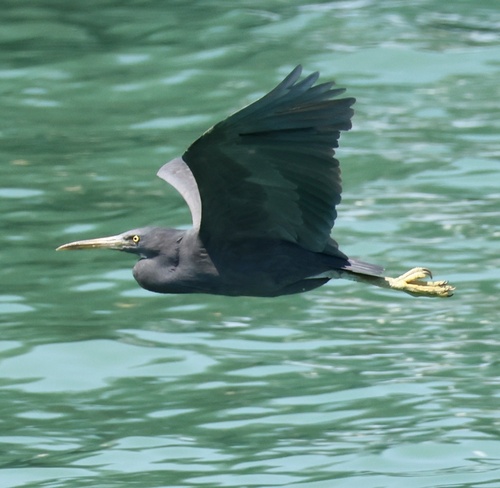
Research-grade observations from iNaturalist (within ~15 mi).
Events
Gallery
Geotagged photos within ~6 miles of Don Sak, from Wikimedia Commons contributors.
 0.6 mi
 0.6 mi
 0.6 mi
 0.6 mi
 0.6 mi
 0.6 mi
 0.7 mi
 0.7 mi
 0.7 mi
 0.7 mi
 0.7 mi
 0.7 mi
 1.3 mi
 1.3 mi
 1.3 mi
 1.4 mi
 1.9 mi
 3.3 mi
 3.3 mi
 3.3 mi
 3.7 mi
 3.8 mi
.jpg) 3.8 mi
3.8 mi 3.8 mi
Photos via Wikimedia Commons — see each image page for license & attribution.
Sources
- • Wikipedia
- • Wikimedia Commons
- • Wikidata
- • Open-Meteo Air Quality (CAMS)
- • USGS Earthquake Catalog (global feed)
- • GBIF (Global Biodiversity Information Facility)
- • iNaturalist
- • Open-Meteo / sunrise-sunset.org
- • Wikipedia Pageviews API