Browse / Thailand / Surat Thani / Ko Pha-ngan
Ko Pha-ngan
Surat Thanitown
Air quality index
Demographic figures from National Statistical Office of Thailand. Overview below cites Wikipedia and may reference a different year.
City facts
Overview
Found in Surat Thani, Thailand, Ko Pha-ngan is classified as a town in public datasets. No reliable population estimate is published for this entry in the open data we rely on. Geographically it lies in the northern hemisphere at a equatorial latitude (9.757°, 100.025°). Meteorological summaries report average highs near 79.2°F and lows near 74.1°F, together with about 70.9 in of annual precipitation (a very wet total). The latitude suggests hot and humid year-round with little seasonal temperature variation. The location receives about 1,861 kWh/m² of solar irradiance per year and sunshine for roughly 73% of daylight hours. Open-data panels below dive into population trends, climate normals, environmental indicators and nearby places.
Summary composed automatically from structured open data on this page. See our Terms for details.
History & geography
Geography
Coordinates & boundaries from the US Census TIGER/Line shapefiles.
Climate
10-year averages from ERA5 reanalysis (Open-Meteo).
Air quality
Current readings from Open-Meteo Air Quality API (Copernicus CAMS European reanalysis).
Walkability
Amenities nearby
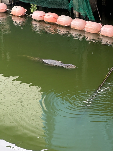
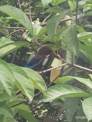
Wildlife & biodiversity
Most-observed species
- Common MynaAcridotheres tristis (Linnaeus, 1766) · Aves247
- Spotted doveSpilopelia chinensis (Scopoli, 1786) · Aves205
- Greater Racket-tailed DrongoDicrurus paradiseus (Linnaeus, 1766) · Aves182
- Stripe-throated BulbulPycnonotus finlaysoni Strickland, 1844 · Aves164
- Asian KoelEudynamys scolopaceus (Linnaeus, 1758) · Aves155
- Scarlet-backed FlowerpeckerDicaeum cruentatum (Linnaeus, 1758) · Aves144
- Pacific SwallowHirundo javanica Sparrman, 1789 · Aves125
- Indochinese RollerCoracias affinis Horsfield, 1840 · Aves125
Citizen-science & research observations from the Global Biodiversity Information Facility (GBIF).
Earthquake history
Events from the USGS Earthquake Catalog (global) (FDSN Event Web Service).
Photos
Sights & places nearby
Notable people from here
Nearby places in Surat Thani
Geography & sun
Elevation, sunrise/sunset and daylight from Open-Meteo. Solar climatology from NASA POWER.
Nearby airports
Public attention
Books about this place
Recent natural events nearby
Ground air-quality sensors
Recently spotted species
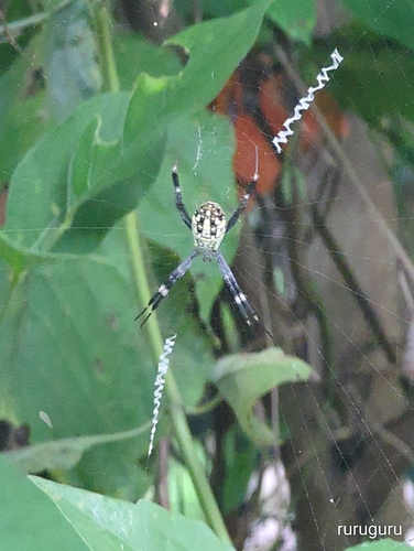
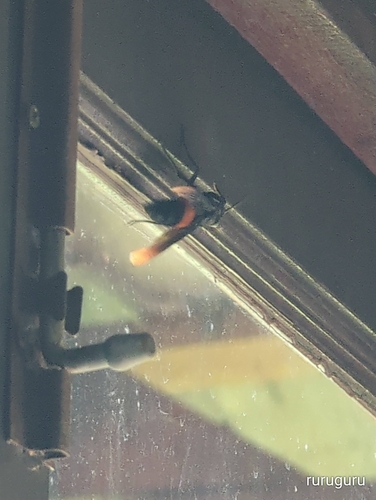
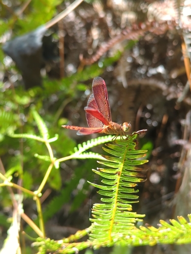
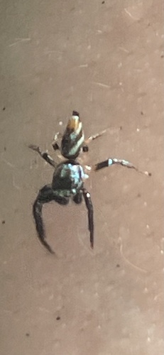
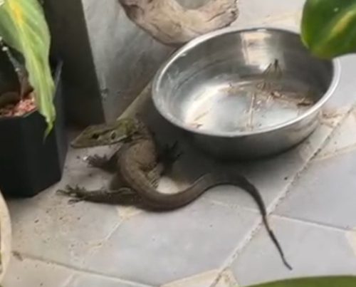
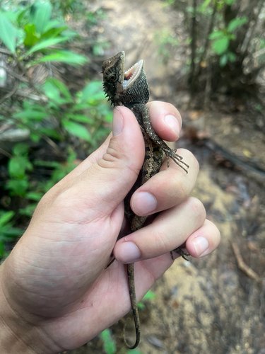
Research-grade observations from iNaturalist (within ~15 mi).
Events
Gallery
Geotagged photos within ~6 miles of Ko Pha-ngan, from Wikimedia Commons contributors.
 0.1 mi
 0.1 mi
 0.1 mi
 0.1 mi
 0.1 mi
 0.4 mi
.jpg) 0.4 mi
0.4 mi.jpg) 0.4 mi
0.4 mi 0.4 mi
.jpg) 0.4 mi
0.4 mi.jpg) 0.4 mi
0.4 mi.jpg) 0.5 mi
0.5 mi 0.5 mi
.jpg) 0.5 mi
0.5 mi 0.5 mi
 0.5 mi
 0.5 mi
 0.7 mi
.JPG) 1.2 mi
1.2 mi.JPG) 1.2 mi
1.2 mi.JPG) 1.2 mi
1.2 mi.JPG) 1.2 mi
1.2 mi.JPG) 1.2 mi
1.2 mi.JPG) 1.2 mi
1.2 miPhotos via Wikimedia Commons — see each image page for license & attribution.
Sources
- • Open-Meteo (ERA5 reanalysis)
- • Wikimedia Commons
- • Wikidata
- • Open-Meteo Air Quality (CAMS)
- • USGS Earthquake Catalog (global feed)
- • GBIF (Global Biodiversity Information Facility)
- • iNaturalist
- • Open-Meteo / sunrise-sunset.org