Browse / Thailand / Chiang Mai / Fang
Fang
Chiang Maitown

Featured view
Fang
Coordinates19.92°, 99.22°
Demographic figures from National Statistical Office of Thailand. Overview below cites Wikipedia and may reference a different year.
Loading additional data from public sources…0 / 11
CensusWikipediaWeatherPlacesPeopleEnvironmentHealth & SchoolsRelatedGeography & CultureLive MonitoringEvents & Gallery
0% completeCity facts
Overview
Fang is a district (amphoe) in the northern part of Chiang Mai province, northern Thailand.
Read more on WikipediaHistory & geography
Geography
Latitude
19.9204
Longitude
99.2155
Water area
—
Coordinates & boundaries from the US Census TIGER/Line shapefiles.
Climate
Air quality
Walkability
Amenities nearby
Wildlife & biodiversity
Earthquake history
Photos
Sights & places nearby
Notable people from here
People born within ~10 km, from Wikidata (CC0). Click any name for their Wikipedia article.
Nearby places in Chiang Mai
Geography & sun
Avg solar (kWh/m²/day)
4.9
Annual solar (kWh/m²)
1,787
Elevation, sunrise/sunset and daylight from Open-Meteo. Solar climatology from NASA POWER.
Nearby airports
Public attention
Wikipedia views (last 30 days)
4
Avg daily Wikipedia views
0
Attention level
Obscure
Pageview totals from the Wikimedia Pageviews API.
Books about Fang
Tamnān Chīang Fang
1976
Fuliang jiang de hei ye
Feng Yu · 1943
Summary of the forum on the work in literature and art in the armed forces with which comrade Lin Piao entrusted comrade Chiang Ching
Lin, Biao · 1968

Mao
Jung Chang · 2002
Sōkkanāttakam khon chāi khō̜p
2007
Cycad biology and conservation
Nan Li · 2019

Wei Sili ke huan xiao shuo zhen cang ji
Kuang Ni · 1997
Search results from Open Library.
Recent natural events nearby
Ground air-quality sensors
Recently spotted species
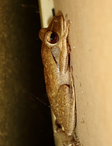
Spot-legged Tree Frog
Polypedates megacephalus
Seen 2026-08-03
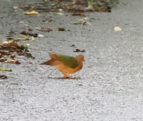
Asian Emerald Dove
Chalcophaps indica
Seen 2026-08-03
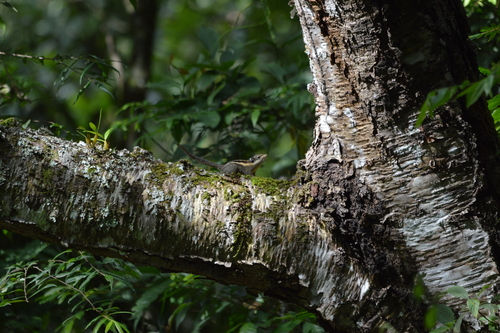
Himalayan Striped Squirrel
Tamiops mcclellandii
Seen 2026-07-25
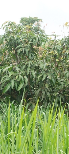
Indian mango
Mangifera indica
Seen 2026-07-21
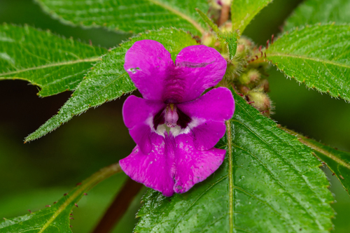
Impatiens santisukii
Impatiens santisukii
Seen 2026-07-05
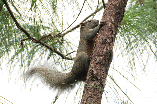
Pallas' Squirrel
Callosciurus erythraeus
Seen 2026-07-05
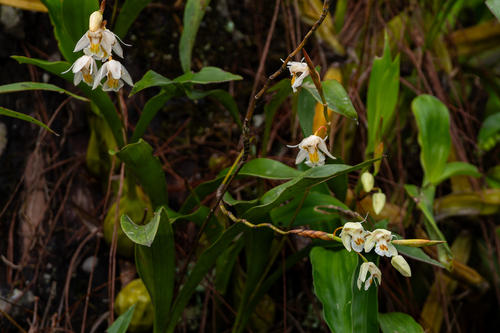
Coelogyne schultesii
Coelogyne schultesii
Seen 2026-07-04
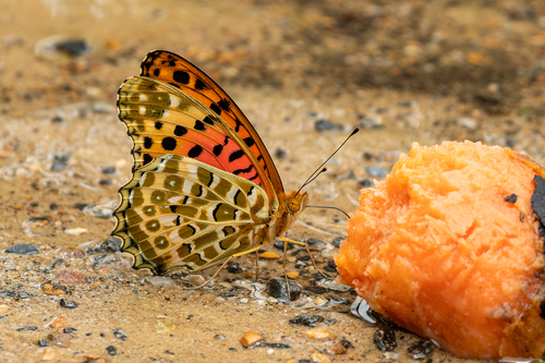
Tropical Fritillary
Argynnis hyperbius
Seen 2026-07-04
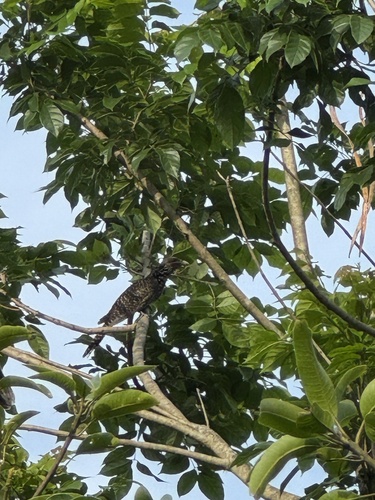
Asian Koel
Eudynamys scolopaceus
Seen 2026-06-27
Research-grade observations from iNaturalist (within ~15 mi).
Events
Gallery
Sources
- • Wikipedia
- • Wikidata
- • iNaturalist
- • Open-Meteo / sunrise-sunset.org
- • Wikipedia Pageviews API
- • Open Library