Browse / Thailand / Chiang Mai / Mae Ai
Mae Ai
Chiang Maitown

Featured view
Mae Ai
Total population
77,778
Coordinates20.03°, 99.30°
Demographic figures from National Statistical Office of Thailand. Overview below cites Wikipedia and may reference a different year.
Loading additional data from public sources…0 / 11
CensusWikipediaWeatherPlacesPeopleEnvironmentHealth & SchoolsRelatedGeography & CultureLive MonitoringEvents & Gallery
0% completeCity facts
Overview
Mae Ai is the northernmost district (amphoe) of Chiang Mai province, northern Thailand.
Read more on WikipediaHistory & geography
Geography
Latitude
20.0329
Longitude
99.2980
Water area
—
Coordinates & boundaries from the US Census TIGER/Line shapefiles.
Climate
Air quality
Walkability
Amenities nearby
Wildlife & biodiversity
Earthquake history
Photos
Sights & places nearby
Notable people from here
Nearby places in Chiang Mai
Geography & sun
Avg solar (kWh/m²/day)
4.79
Annual solar (kWh/m²)
1,748
Elevation, sunrise/sunset and daylight from Open-Meteo. Solar climatology from NASA POWER.
Nearby airports
Public attention
Wikipedia views (last 30 days)
20
Avg daily Wikipedia views
1
Attention level
Obscure
Pageview totals from the Wikimedia Pageviews API.
Books about Mae Ai
Laksana sētthakit, sangkhom, læ prachākō̜n, Phō̜. Sō̜. 2526, ʻAmphœ̄ Mǣ ʻĀi
Mahāwitthayālai Chīang Mai. Sathāban Wičhai Sangkhom · 1989
Kittiwō̜rakhunānusō̜n
1989
Search results from Open Library.
Recent natural events nearby
Ground air-quality sensors
Recently spotted species
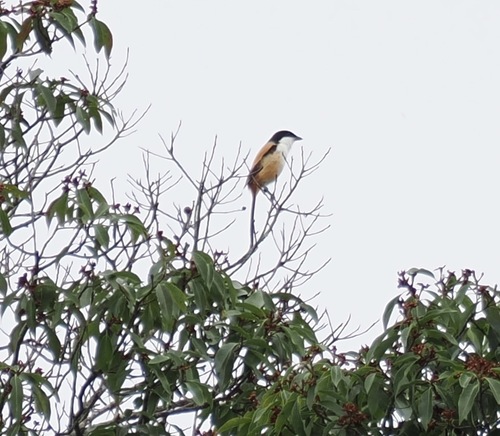
Long-tailed Shrike
Lanius schach
Seen 2026-08-03
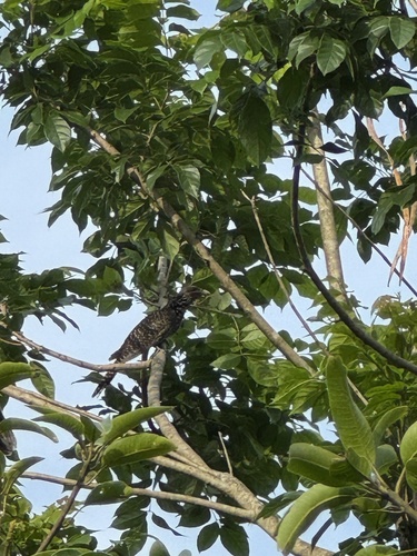
Asian Koel
Eudynamys scolopaceus
Seen 2026-06-27
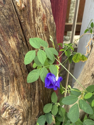
Blue Pea
Clitoria ternatea
Seen 2026-06-27
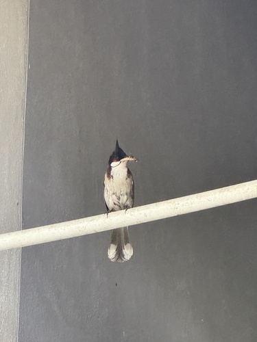
Red-whiskered Bulbul
Pycnonotus jocosus
Seen 2026-06-27
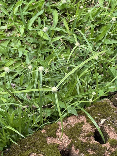
whitehead spikesedge
Cyperus mindorensis
Seen 2026-06-27
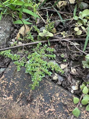
Artillery Plant
Pilea microphylla
Seen 2026-06-27
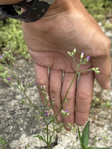
little ironweed
Cyanthillium cinereum
Seen 2026-06-27
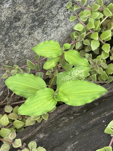
Benghal Dayflower
Commelina benghalensis
Seen 2026-06-27
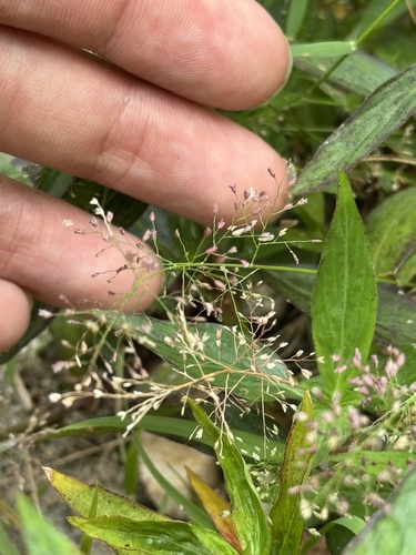
Feather Lovegrass
Eragrostis tenella
Seen 2026-06-27
Research-grade observations from iNaturalist (within ~15 mi).
Events
Gallery
Sources
- • Wikipedia
- • Wikidata
- • iNaturalist
- • Open-Meteo / sunrise-sunset.org
- • Wikipedia Pageviews API
- • Open Library