Browse / Thailand / Ubon Ratchathani / Tan Sum
Tan Sum
Ubon Ratchathanitown
Air quality index
Demographic figures from National Statistical Office of Thailand. Overview below cites Wikipedia and may reference a different year.
City facts
Overview
Tan Sum sits in Ubon Ratchathani, Thailand and is identified as a town. Geographically it lies in the northern hemisphere at a tropical latitude (15.314°, 105.155°). No reliable population estimate is published for this entry in the open data we rely on. Open solar datasets indicate about 1,835 kWh/m² of solar irradiance per year, combined with sunshine for roughly 72% of daylight hours. Based on its tropical position, residents likely encounter warm temperatures throughout the year with pronounced wet and dry seasons. Further detail — demographics, climate, nearby amenities and natural-hazard data — is compiled below from public open-data sources.
Summary composed automatically from structured open data on this page. See our Terms for details.
History & geography
Geography
Coordinates & boundaries from the US Census TIGER/Line shapefiles.
Climate
Air quality
Current readings from Open-Meteo Air Quality API (Copernicus CAMS European reanalysis).
Walkability
Amenities nearby
Wildlife & biodiversity
Most-observed species
- Green Bee-eaterMerops orientalis Latham, 1801 · Aves12
- Great MynaAcridotheres grandis Moore, 1858 · Aves11
- Brahminy KiteHaliastur indus (Boddaert, 1783) · Aves9
- Rock PigeonColumba livia J.F.Gmelin, 1789 · Aves9
- Zebra DoveGeopelia striata (Linnaeus, 1766) · Aves9
- Common KingfisherAlcedo atthis (Linnaeus, 1758) · Aves8
- intermediate egretEgretta intermedia (Wagler, 1829) · Aves8
- Common MynaAcridotheres tristis (Linnaeus, 1766) · Aves8
Citizen-science & research observations from the Global Biodiversity Information Facility (GBIF).
Earthquake history
Events from the USGS Earthquake Catalog (global) (FDSN Event Web Service).
Photos
Sights & places nearby
Notable people from here
Nearby places in Ubon Ratchathani
- Bakırköy4820.3 mi away · pop. 226,685
- Kongsvinger5410.1 mi away · pop. 12,466
- Moelv5443.8 mi away · pop. 4,614
- Follebu5453.4 mi away · pop. 1,263
- Bibione5565.8 mi away · pop. 2,564
- San Giorgio al Tagliamento5567.4 mi away
- Valle5573.7 mi away
- San Pietro di Cadore5574 mi away · pop. 1,839
- Ottava Presa5576 mi away
- San Nicolò di Comelico5576.5 mi away · pop. 426
- Borghetto5577.1 mi away
- La Salute di Livenza5577.4 mi away
Geography & sun
Elevation, sunrise/sunset and daylight from Open-Meteo. Solar climatology from NASA POWER.
Nearby airports
Public attention
Books about this place
Recent natural events nearby
Ground air-quality sensors
Recently spotted species


Research-grade observations from iNaturalist (within ~15 mi).
Events
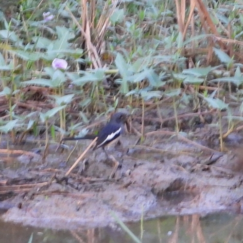
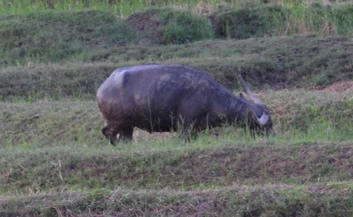
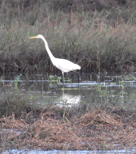
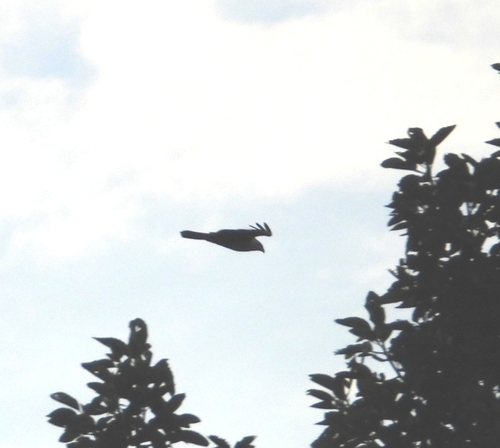
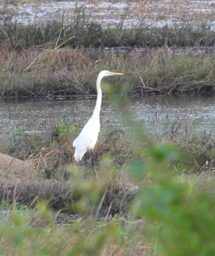
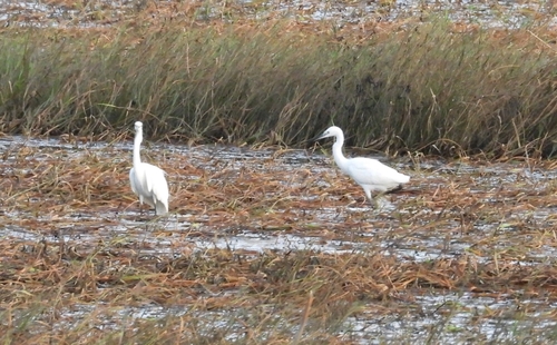
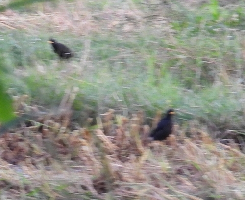
Gallery
Geotagged photos within ~6 miles of Tan Sum, from Wikimedia Commons contributors.


.jpg)
Photos via Wikimedia Commons — see each image page for license & attribution.
Sources
- • Wikimedia Commons
- • Wikidata
- • Open-Meteo Air Quality (CAMS)
- • USGS Earthquake Catalog (global feed)
- • GBIF (Global Biodiversity Information Facility)
- • iNaturalist
- • Open-Meteo / sunrise-sunset.org