Browse / Thailand / Lopburi / Tha Luang
Tha Luang
Lopburitown
Air quality index
Demographic figures from National Statistical Office of Thailand. Overview below cites Wikipedia and may reference a different year.
City facts
Overview
Tha Luang is a town that lies in Lopburi, Thailand. Geographically it lies in the northern hemisphere at a tropical latitude (15.070°, 101.110°). Up-to-date population figures for this locality are not available in the open datasets we monitor. The latitude suggests warm temperatures throughout the year with pronounced wet and dry seasons. Solar-resource estimates put the area at about 1,891 kWh/m² of solar irradiance per year with sunshine for roughly 74% of daylight hours. Open-data panels below dive into population trends, climate normals, environmental indicators and nearby places.
Summary composed automatically from structured open data on this page. See our Terms for details.
History & geography
Geography
Coordinates & boundaries from the US Census TIGER/Line shapefiles.
Climate
Air quality
Current readings from Open-Meteo Air Quality API (Copernicus CAMS European reanalysis).
Walkability
Amenities nearby
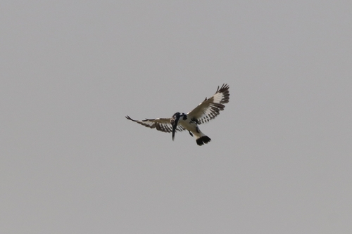
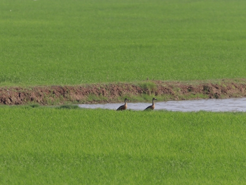
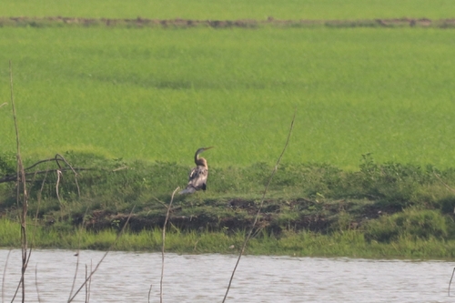
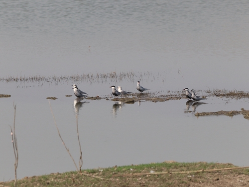
Wildlife & biodiversity
Most-observed species
- Ayeyarwady BulbulPycnonotus blanfordi Jerdon, 1862 · Aves80
- Zebra DoveGeopelia striata (Linnaeus, 1766) · Aves77
- Red-wattled LapwingVanellus indicus (Boddaert, 1783) · Aves77
- Ashy WoodswallowArtamus fuscus Vieillot, 1817 · Aves77
- Green Bee-eaterMerops orientalis Latham, 1801 · Aves70
- Red Collared-DoveStreptopelia tranquebarica (Hermann, 1804) · Aves69
- Rock PigeonColumba livia J.F.Gmelin, 1789 · Aves67
- Malaysian Pied-FantailRhipidura javanica (Sparrman, 1788) · Aves64
Citizen-science & research observations from the Global Biodiversity Information Facility (GBIF).
Earthquake history
Events from the USGS Earthquake Catalog (global) (FDSN Event Web Service).
Photos
Sights & places nearby
Notable people from here
People born within ~10 km, from Wikidata (CC0). Click any name for their Wikipedia article.
Nearby places in Lopburi
- Lam Narai9.5 mi away
- Khok Samrong26 mi away
- Nong Muang31.8 mi away
- Lop Buri37.9 mi away · pop. 26,500
- Tha Wung43.6 mi away
- Putrajaya840.6 mi away · pop. 109,202
- Gemlik4605.2 mi away · pop. 91,070
- Karadjalovo4802.3 mi away
- Dobri Dol4802.5 mi away
- Ezerovo4803.5 mi away
- Voden4803.7 mi away
- Byala Reka4805.2 mi away
Geography & sun
Elevation, sunrise/sunset and daylight from Open-Meteo. Solar climatology from NASA POWER.
Nearby airports
Public attention
Books about this place
Recent natural events nearby
Ground air-quality sensors
Recently spotted species

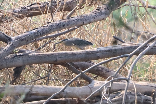
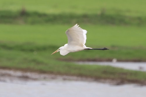
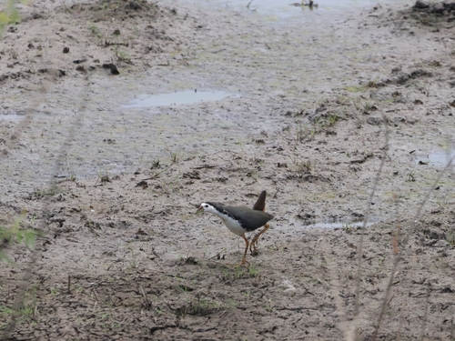
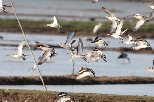
Research-grade observations from iNaturalist (within ~15 mi).
Events
Gallery
Geotagged photos within ~6 miles of Tha Luang, from Wikimedia Commons contributors.


Photos via Wikimedia Commons — see each image page for license & attribution.
Sources
- • Wikimedia Commons
- • Wikidata
- • Open-Meteo Air Quality (CAMS)
- • USGS Earthquake Catalog (global feed)
- • GBIF (Global Biodiversity Information Facility)
- • iNaturalist
- • Open-Meteo / sunrise-sunset.org