Browse / Thailand / Trat / Trat
Trat
Trattown

Trat
Total population
11,454
Demographic figures from National Statistical Office of Thailand. Overview below cites Wikipedia and may reference a different year.
City facts
Facts from Wikidata (CC0).
Overview
Trat, also spelt Trad, is a town in Thailand, capital of Trat province and the Mueang Trat district. The town is in the east of Thailand, at the mouth of the Trat River, near the border with Cambodia.
Read more on WikipediaHistory & geography
History
Trat was already an important seaport in the Kingdom of Ayutthaya. Under King Chulalongkorn (Rama V), Trat and Chanthaburi provinces were briefly occupied by the French. In a complicated exchange of territory, Trat (and Chanthaburi) was returned on March 23, 1906, but Thailand relinquished the area around Siem Reap and Sisophon in present-day Cambodia. When the Vietnamese pushed the Khmer Rouge out of Cambodia in 1985, Pol Pot fled to Thailand and made his headquarters in a plantation villa near Trat. It was built for him by the Thai Army and nicknamed "Office 87".
Geography
Trat Province is located in the eastern part of the central region of Thailand, in the extreme southeast of Thailand near the border with Cambodia. It is just over 300 km from the capital Bangkok. Trat experiences a tropical monsoon climate, with the dry season taking place from November to April and the wet season lasting from May to October.
Excerpted from the corresponding Wikipedia article (CC BY-SA).
Geography
Coordinates & boundaries from the US Census TIGER/Line shapefiles.
Climate
Air quality
Walkability
Amenities nearby
Wildlife & biodiversity
Most-observed species
- Brahminy KiteHaliastur indus (Boddaert, 1783) · Aves170
- Little Egret/Western Reef-HeronEgretta garzetta (Linnaeus, 1766) · Aves137
- White-nest SwiftletAerodramus fuciphagus (Thunberg, 1812) · Aves125
- Common MynaAcridotheres tristis (Linnaeus, 1766) · Aves117
- Spotted doveSpilopelia chinensis (Scopoli, 1786) · Aves108
- White-throated KingfisherHalcyon smyrnensis (Linnaeus, 1758) · Aves104
- Great MynaAcridotheres grandis Moore, 1858 · Aves100
- Yellow-vented BulbulPycnonotus goiavier (Scopoli, 1786) · Aves98
Citizen-science & research observations from the Global Biodiversity Information Facility (GBIF).
Earthquake history
Events from the USGS Earthquake Catalog (global) (FDSN Event Web Service).
Photos
Sights & places nearby
Notable people from here
People born within ~10 km, from Wikidata (CC0). Click any name for their Wikipedia article.
Nearby places in Trat
- Nam Chiao5.2 mi away
- Khao Saming9.2 mi away
- Laem Ngop9.4 mi away
- Quatre Bornes3435.5 mi away
- Arıcak4207.1 mi away · pop. 17,028
- Karakoçan4216 mi away · pop. 27,923
- Palu4219.3 mi away · pop. 18,718
- Alacakaya4220.8 mi away · pop. 6,350
- Kovancılar4222.9 mi away · pop. 39,305
- Maden4230.5 mi away · pop. 11,071
- Sivrice4250.4 mi away · pop. 7,879
- Elazığ4256.9 mi away · pop. 578,789
Geography & sun
Elevation, sunrise/sunset and daylight from Open-Meteo. Solar climatology from NASA POWER.
Nearby airports
Public attention
Pageview totals from the Wikimedia Pageviews API.
Books about Trat
Search results from Open Library.
Recent natural events nearby
Ground air-quality sensors
Recently spotted species
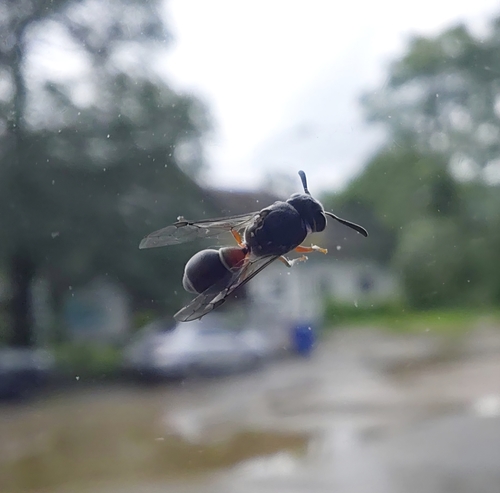
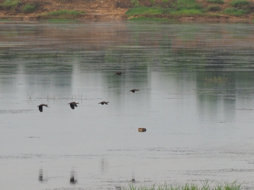
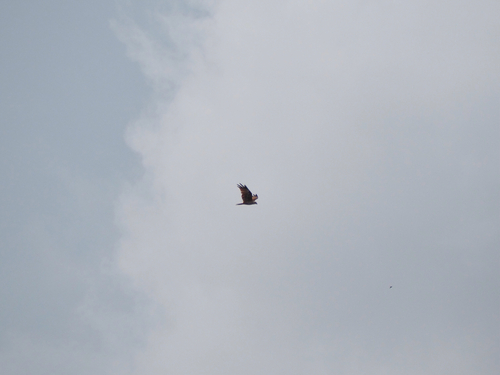
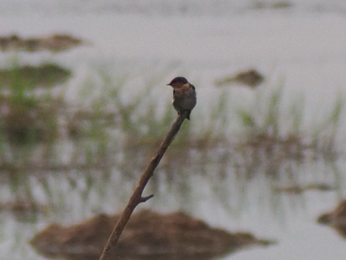
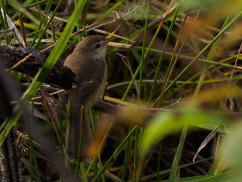
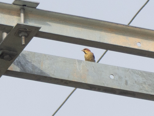
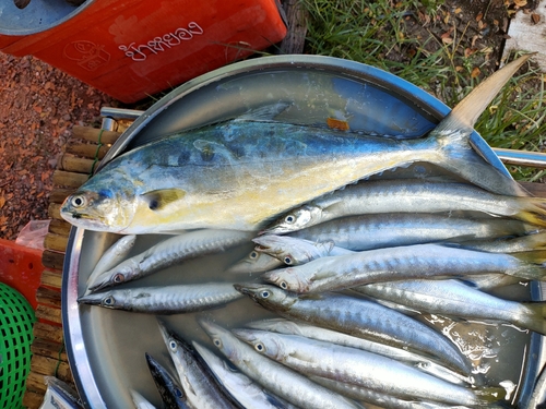
Research-grade observations from iNaturalist (within ~15 mi).
Events
Gallery
Geotagged photos within ~6 miles of Trat, from Wikimedia Commons contributors.


.jpg)
.jpg)
_(23352868803).jpg)


Photos via Wikimedia Commons — see each image page for license & attribution.
Sources
- • Wikipedia
- • Wikimedia Commons
- • Wikidata
- • USGS Earthquake Catalog (global feed)
- • GBIF (Global Biodiversity Information Facility)
- • iNaturalist
- • Open-Meteo / sunrise-sunset.org
- • Wikipedia Pageviews API
- • Open Library