Browse / Tunisia / Ben Arous / Mégrine
Mégrine
Ben Aroustown

Mégrine
Demographic figures from INS Tunisia. Overview below cites Wikipedia and may reference a different year.
City facts
Overview
Mégrine is a town and commune in the Ben Arous Governorate, Tunisia. It has the head office of Monoprix, Tunisia.
Read more on WikipediaHistory & geography
History
Mégrine was established following the subdivision of the Mégrine estate, an agricultural and viticultural operation managed by the Société Anonyme du Domaine de Mégrine. At the beginning of the 20th century, Count Foy, one of the representatives of the company, oversaw the continuation of the estate's operations until 1924, when, facing financial ruin, the estate was put up for sale. A group of Italians made purchase offers, which the Count accepted. However, the Tunisian state—through the Department of Agriculture—rejected the offers and acquired the estate in 1924. The estate was then sold off in parcels: first as suburban lots intended for agricultural use starting in 1925, followed by urban and garden lots on other parts of the estate. These later formed the center of Mégrine and were eventually known as Mégrine-Coteaux. Workers from the estate settled near the lake. This area gradually developed with the arrival of settlers and the demographic growth of Tunis. It became one of the oldest inhabited parts of Mégrine and was later designated as District No. 1, renamed Cité Chaker after independence. The modern commune was officially created on July 1, 1948 (effective January 1, 1949), by merging the historic Mégrine area with Cité Lescure (a worker housing nucleus built in 1929 by the Agriculture Department for European laborers).
Geography
Mégrine is a residential suburb bordering the southern edge of the Lake of Tunis, in the northern part of Ben Arous Governorate. It benefits from its proximity to central Tunis (about 5 km south) and forms part of the continuous urban fabric of Greater Tunis. The terrain includes hilly areas (reflected in names like Mégrine-Coteaux, meaning "hillside"). The commune covers approximately 14.86 km².
Excerpted from the corresponding Wikipedia article (CC BY-SA).
Geography
Coordinates & boundaries from the US Census TIGER/Line shapefiles.
Climate
Air quality
Walkability
Amenities nearby
Wildlife & biodiversity
Earthquake history
Photos
Sights & places nearby
Notable people from here
Nearby places in Ben Arous
- Sali558.9 mi away · pop. 726
- Savar562.9 mi away · pop. 35
- Brbinj563.7 mi away · pop. 70
- Mali Iž563.8 mi away · pop. 193
- Veli Rat564 mi away · pop. 91
- Tkon564.3 mi away · pop. 662
- Drage565.4 mi away · pop. 893
- Ždrelac566.1 mi away · pop. 397
- Zverinac566.7 mi away · pop. 55
- Sveti Filip i Jakov566.9 mi away · pop. 1,667
- Kali567.5 mi away · pop. 1,585
- Sveti Petar na Moru567.8 mi away · pop. 403
Geography & sun
Elevation, sunrise/sunset and daylight from Open-Meteo. Solar climatology from NASA POWER.
Nearby airports
Public attention
Pageview totals from the Wikimedia Pageviews API.
Books about this place
Recent natural events nearby
Ground air-quality sensors
Recently spotted species
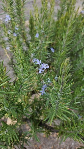
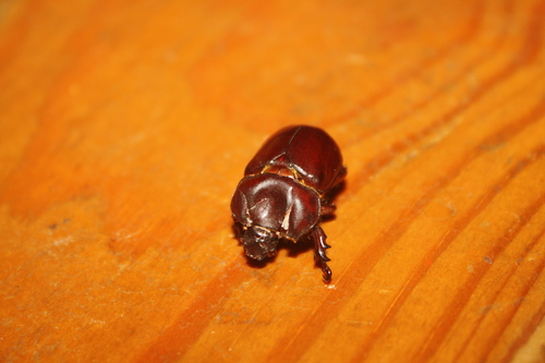
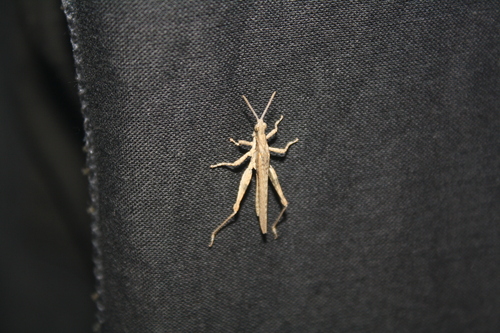
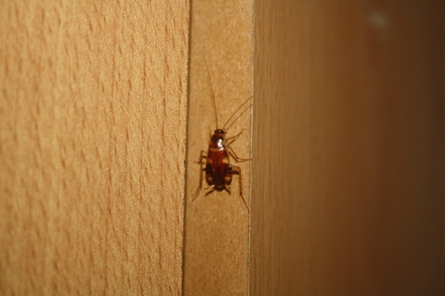
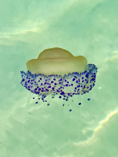
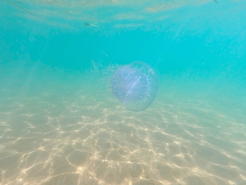
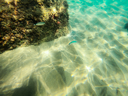
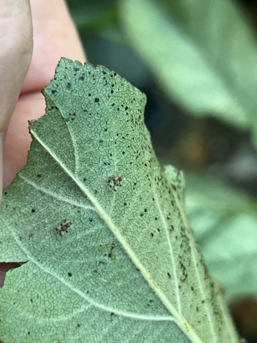
Research-grade observations from iNaturalist (within ~15 mi).
Events
Gallery
Sources
- • Wikipedia
- • iNaturalist
- • Open-Meteo / sunrise-sunset.org
- • Wikipedia Pageviews API