Browse / Türkiye / Tekirdağ / Çerkezköy
Çerkezköy
Tekirdağtown

Çerkezköy
Total population
213,243
Demographic figures from TurkStat. Overview below cites Wikipedia and may reference a different year.
City facts
Overview
Çerkezköy is a municipality and district of Tekirdağ Province, Turkey. Its area is 86 km2, and its population is 206,829 (2022). Çerkezköy is located in inland Thrace just to the west of the outlying Istanbul districts of Çatalca and Silivri. Çerkezköy is an industrial area. It is 56 km (35 mi) from Tekirdağ and 110 km (68 mi) from Istanbul but in many ways has closer links to the bigger city. The mayor is Vahap Akay (Independent).
Read more on WikipediaHistory & geography
History
Until the 1800s this was a village called 'Türbedere'. 'Türbe' is the Turkish for 'tomb' and the village took its name from the tomb of the eldest son of sultan Bayezid I, Süleyman Çelebi, who was murdered here in 1410 when fleeing from his brothers during the Ottoman Interregnum. The tomb was destroyed by Bulgarian troops when they occupied the town for nine months during the war for Bulgarian Independence in 1912. Çerkezköy was founded as a settlement for refugees from the Caucasus following the Russo-Turkish War of 1877-1878 ('Çerkez' being the Turkish pronunciation of 'Circassian'). Soon after, following the independence of Bulgaria from the Ottoman Empire further waves of refugees from Bulgaria came to replace the Caucasians and Çerkezköy was designated as a municipality () in 1911. It became a township of Saray district in 1922 and a district in 1938. The land here is flat, watered by the River Çorlu and good soil for farming, so until the 1970s Çerkezköy was a pleasant small town in a rural setting. But it is also on the main highway from Istanbul to Europe and in 1971 was designated an area for industrial development. Grants were made available by the Turkish state for investors and a large industrial area was constructed on of land near the town. At the 2013 Turkish local government reorganisation part of the district of Çerkezköy was detached to form the new district Kapaklı.
Excerpted from the corresponding Wikipedia article (CC BY-SA).
Geography
Coordinates & boundaries from the US Census TIGER/Line shapefiles.
Climate
Air quality
Walkability
Amenities nearby
Wildlife & biodiversity
Earthquake history
Photos
Sights & places nearby
Notable people from here


People born within ~10 km, from Wikidata (CC0). Click any name for their Wikipedia article.
Nearby places in Tekirdağ
- Kapaklı3.1 mi away · pop. 142,662
- Saray11.5 mi away · pop. 21,243
- Çorlu13.4 mi away · pop. 273,362
- Ergene13.8 mi away · pop. 64,820
- Marmaraereğlisi22 mi away
- Muratlı27 mi away · pop. 26,821
- Tekirdağ33.2 mi away · pop. 215,558
- Süleymanpaşa33.5 mi away · pop. 187,727
- Hayrabolu46.6 mi away · pop. 32,137
- Malkara63.3 mi away · pop. 52,331
- Şarköy65.5 mi away · pop. 32,565
- U Minh5115.5 mi away
Geography & sun
Elevation, sunrise/sunset and daylight from Open-Meteo. Solar climatology from NASA POWER.
Nearby airports
Public attention
Pageview totals from the Wikimedia Pageviews API.
Books about Çerkezköy
Search results from Open Library.
Recent natural events nearby
Ground air-quality sensors
Recently spotted species
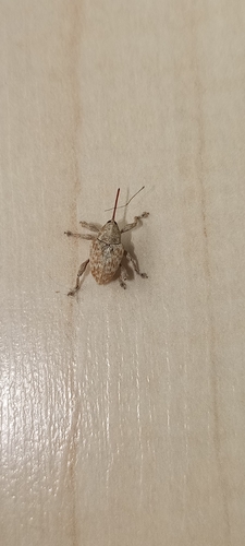
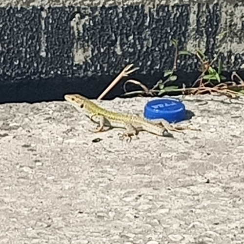
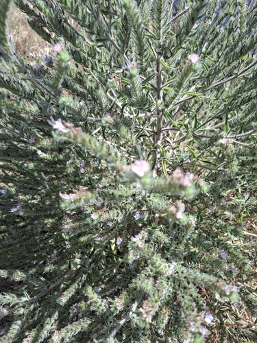
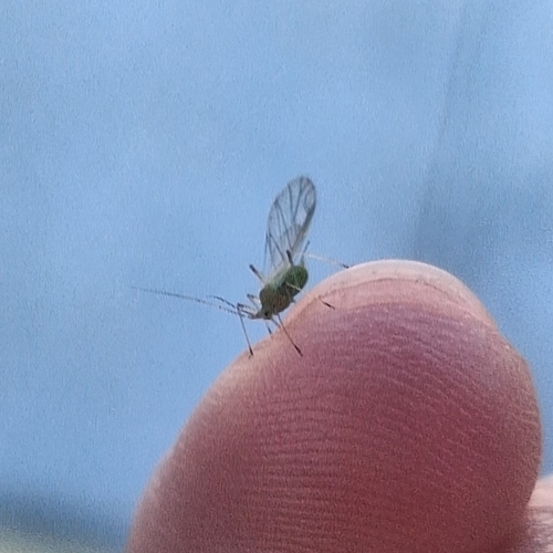
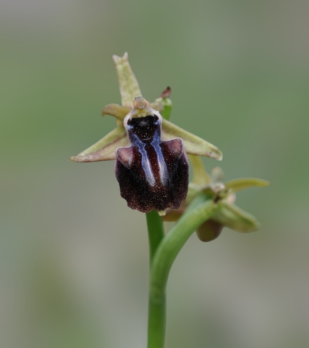
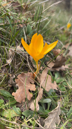
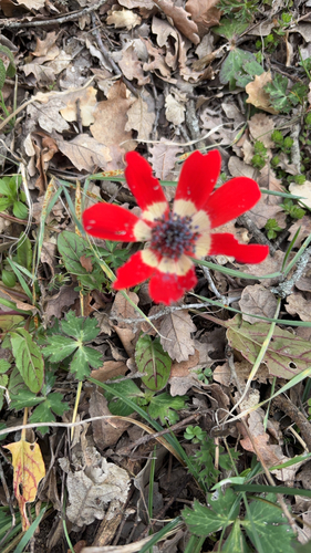
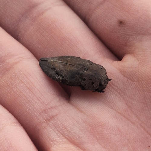
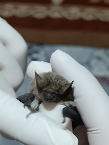
Research-grade observations from iNaturalist (within ~15 mi).
Events
Gallery
Sources
- • Wikipedia
- • Wikidata
- • iNaturalist
- • Open-Meteo / sunrise-sunset.org
- • Wikipedia Pageviews API
- • Open Library
- • Wikidata SPARQL (CC0) — population, area, elevation, inception, head of government, Commons image