Browse / Türkiye / Tekirdağ / Çorlu
Çorlu
Tekirdağtown

Çorlu
Total population
273,362
Demographic figures from TurkStat. Overview below cites Wikipedia and may reference a different year.
City facts
Facts from Wikidata (CC0).
Overview
Çorlu is a municipality and district of Tekirdağ Province, northwestern Turkey. Its area is 531 km2, and its population is 300,296 (2024). It is a rapidly growing industrial center built on flatland located on the motorway Otoyol 3 and off the highway D.100 between Istanbul and Turkey's border with Greece and Bulgaria. The nearest airport is Tekirdağ Çorlu Atatürk Airport (TEQ).
Read more on WikipediaHistory & geography
History
Bronze Age relics have been found in various areas of Thrace including Çorlu and by 1000 BC, the area was a Phrygian-Greek colony. The area was subsequently controlled by the Greeks, Persians, Romans, and Byzantines. During Roman and Byzantine times, the town was referred to as Tzouroulos, or Syrallo, and later became Tiroloi (Τυρολόη). The spelling Zorolus is used for the Latinised form of the name of the episcopal see identified with present-day Çorlu in the Catholic Church's list of titular sees. Some writers have identified the Roman town of Caenophrurium (the stronghold of the Caeni and the place where Emperor Aurelian was murdered in 275) with Çorlu, but this seems unlikely as the Antonine Itinerary lists Cenofrurium as two stages and 36 Roman miles () closer to Byzantium than Tzirallum, and the Tabula Peutingeriana shows the locations separately. There were important Roman and Byzantine fortifications at Caenophrurium, which was a base for controlling large areas of Thrace. Following a tumultuous early history, Çorlu was brought under Ottoman control by Sultan Murad I, who immediately ordered the destruction of the Roman walls as part of a policy of opening up the town under the Pax Ottomana. In the Ottoman period, the town remained an important staging post on the road from Constantinople to Greece. The nearby village of Uğraşdere was the site of the battle in which Sultan Beyazid II defeated his son Selim I in August 1511; a year later Beyazid II was defeated by Selim, becoming the first Ottoman father to be overthrown by his son. Beyazid II died in Çorlu on his way to exile in Dimetoka. Coincidentally, Selim himself died in Çorlu nine years into his reign. Both father and son are buried in Istanbul. In the late 18th century, when the Ottoman Empire began…
Excerpted from the corresponding Wikipedia article (CC BY-SA).
Geography
Coordinates & boundaries from the US Census TIGER/Line shapefiles.
Climate
Air quality
Walkability
Amenities nearby
Wildlife & biodiversity
Earthquake history
Photos
Sights & places nearby
Notable people from here
Nearby places in Tekirdağ
- Ergene2.7 mi away · pop. 64,820
- Çerkezköy13.4 mi away · pop. 213,243
- Kapaklı14.6 mi away · pop. 142,662
- Marmaraereğlisi15.3 mi away
- Muratlı15.8 mi away · pop. 26,821
- Tekirdağ19.7 mi away · pop. 215,558
- Süleymanpaşa20.1 mi away · pop. 187,727
- Saray20.5 mi away · pop. 21,243
- Hayrabolu36.4 mi away · pop. 32,137
- Malkara50.5 mi away · pop. 52,331
- Şarköy52.2 mi away · pop. 32,565
- U Minh5125.5 mi away
Geography & sun
Nearby airports
Public attention
Books about this place
Recent natural events nearby
Ground air-quality sensors
Recently spotted species
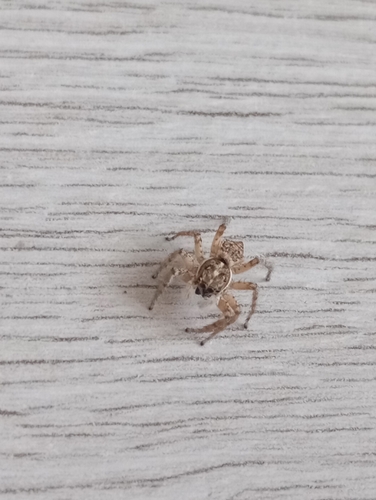
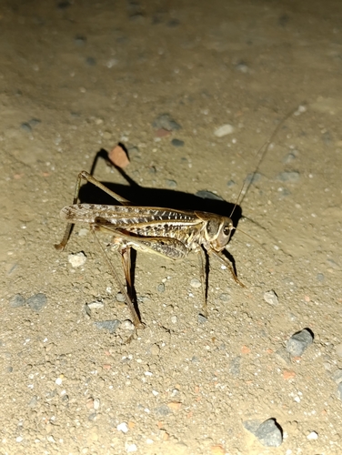
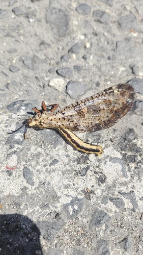
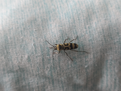
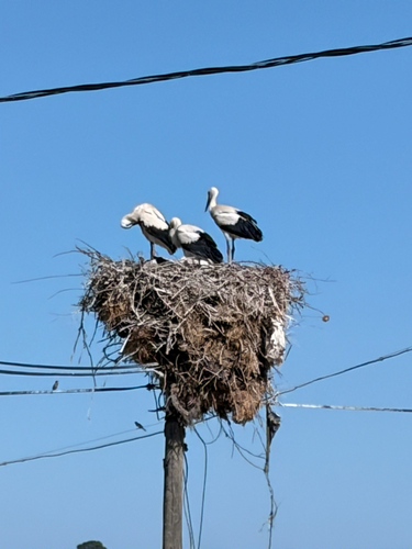
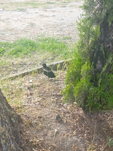
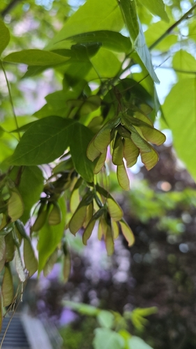
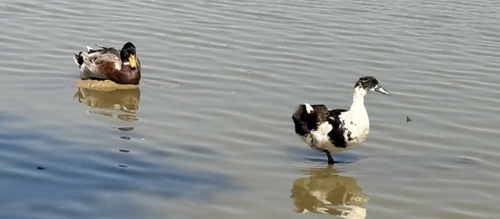
Research-grade observations from iNaturalist (within ~15 mi).
Events
Gallery
Sources
- • Wikipedia
- • Wikidata
- • iNaturalist
- • Wikidata SPARQL (CC0) — population, area, elevation, inception, head of government, Commons image