Browse / Türkiye / Tekirdağ / Saray
Saray
Tekirdağtown

Saray
Total population
21,243
Demographic figures from TurkStat. Overview below cites Wikipedia and may reference a different year.
City facts
Facts from Wikidata (CC0).
Overview
Saray is a municipality and district of Tekirdağ Province, Turkey. Its area is 620 km2, and its population is 50,766 (2022). Its elevation is 140 m (460 ft). The district has cold wet winters and hot dry summers. The district governor (kaymakam) is Regaip Ahmet Özyiğit, and the mayor is Abdül Taşyasan (CHP).
Read more on WikipediaHistory & geography
History
Thrace has been settled for a long, long time and relics have been found in Saray from the stone-age and the copper-stone periods (5000 to 3000 BC), but up until the Ottoman period there were only small villages here. Then when the Ottomans established their capital in nearby Edirne, the town began to grow. In the 18th century when the Crimean Khanate fell to the Russians, the Giray family of the ruling Khans, descendants of Genghis Khan himself, were settled here by the Ottoman sultans. Many members of the dynasty are buried at the yard of Ayas Pasha Mosque in Saray. It was successively part of sanjaks of Vize, Tekfurdağı and Kırkkilise and was a nahiyah (subdivision) of Vize township in Kırkkilise sanjak before 1922. Saray was occupied by Greek troops for two years during the Turkish War of Independence between 1920 and 1922. Saray became a district in 1922 and bounded to Tekirdağ.
Geography
Saray is north of the province seat Tekirdağ. The land is mostly flat and watered by the River Ergene. At the top north-east corner the land begins to rise to the Strandzha (Yıldız Dağları) range of hills. 50% of the land is farmed, 50% forest and meadow, including the only stands of Austrian Pine (pinus nigra) in Thrace, a protected area.
Excerpted from the corresponding Wikipedia article (CC BY-SA).
Geography
Coordinates & boundaries from the US Census TIGER/Line shapefiles.
Climate
Air quality
Walkability
Amenities nearby
Wildlife & biodiversity
Earthquake history
Photos
Sights & places nearby
Notable people from here
Nearby places in Tekirdağ
- Kapaklı8.5 mi away · pop. 142,662
- Çerkezköy11.5 mi away · pop. 213,243
- Ergene19.3 mi away · pop. 64,820
- Çorlu20.5 mi away · pop. 273,362
- Muratlı28.7 mi away · pop. 26,821
- Marmaraereğlisi32.7 mi away
- Tekirdağ38.5 mi away · pop. 215,558
- Süleymanpaşa38.8 mi away · pop. 187,727
- Hayrabolu45 mi away · pop. 32,137
- Malkara65.2 mi away · pop. 52,331
- Şarköy71.1 mi away · pop. 32,565
- U Minh5119.8 mi away
Geography & sun
Elevation, sunrise/sunset and daylight from Open-Meteo. Solar climatology from NASA POWER.
Nearby airports
Public attention
Pageview totals from the Wikimedia Pageviews API.
Books about Saray
Search results from Open Library.
Recent natural events nearby
Ground air-quality sensors
Recently spotted species
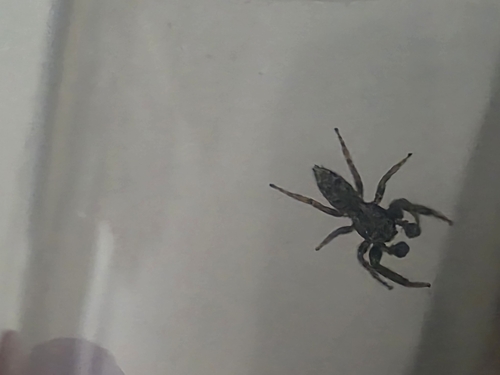
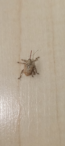
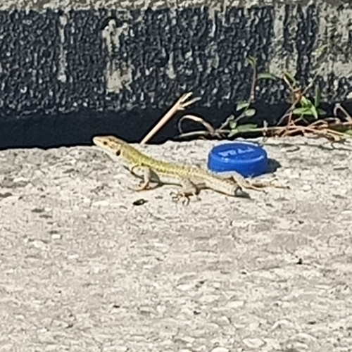
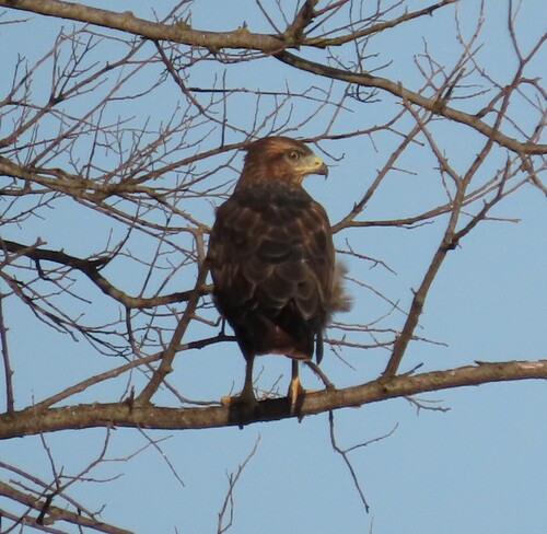
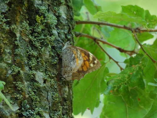
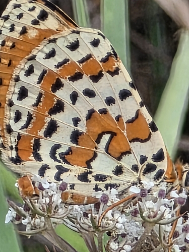
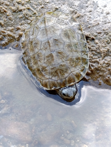
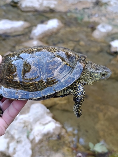
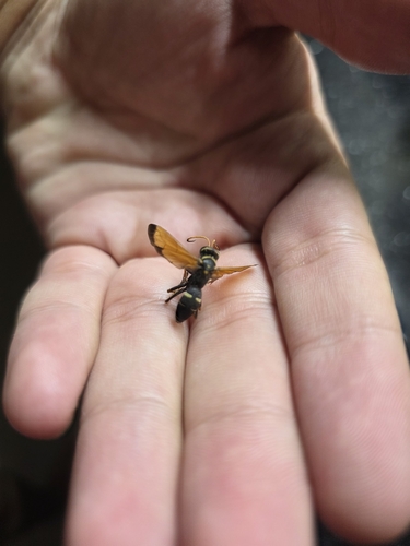
Research-grade observations from iNaturalist (within ~15 mi).
Events
Gallery
Sources
- • Wikipedia
- • Wikidata
- • iNaturalist
- • Open-Meteo / sunrise-sunset.org
- • Wikipedia Pageviews API
- • Open Library
- • Wikidata SPARQL (CC0) — population, area, elevation, inception, head of government, Commons image