Browse / United States / Texas / Ackerly
Ackerly
Texascity

Ackerly
Total population
384
Median home value
$74,500
Bachelor's+
Median income
$66,094
Demographic figures from US Census Bureau · ACS 5-year estimates. Overview below cites Wikipedia and may reference a different year.
City facts
Facts from Wikidata (CC0).
Overview
Ackerly is a city in Dawson and Martin Counties in the U.S. state of Texas. As of the 2020 Census, the population was 264. The Martin county portion of Ackerly is part of the Midland-Odessa metropolitan area.
Read more on WikipediaHistory & geography
History
The town was established in 1923 and named for the town founder Paul Ackerly. In 1995, a local discovered the Ackerly meteorite while plowing his cotton field.
Geography
Ackerly is located at (32.525563, –101.714242). According to the United States Census Bureau, the city has a total area of 0.3 square miles (0.8 km2), all land.
Excerpted from the corresponding Wikipedia article (CC BY-SA).
Demographics & economy
Race & ethnicity
Source: US Census Bureau — American Community Survey, 5-year estimates.
Geography
Coordinates & boundaries from the US Census TIGER/Line shapefiles.
Climate
Current forecast
Forecast for Ackerly, TX from NOAA NWS API.
Air quality
Industrial & pollution facilities
Natural hazard risk
Health (adults)
Age-adjusted prevalence estimates from CDC PLACES (latest release).
Walkability
Amenities nearby
Wildlife & biodiversity
Most-observed species
- Mourning DoveZenaida macroura (Linnaeus, 1758) · Aves64
- Great-tailed GrackleQuiscalus mexicanus (Gmelin, 1788) · Aves40
- American KestrelFalco sparverius Linnaeus, 1758 · Aves40
- Western KingbirdTyrannus verticalis Say, 1823 · Aves36
- Chihuahuan RavenCorvus cryptoleucus Couch, 1854 · Aves30
- Red-tailed HawkButeo jamaicensis (Gmelin, 1788) · Aves29
- Scissor-tailed FlycatcherTyrannus forficatus (Gmelin, 1789) · Aves29
- Sandhill craneGrus canadensis (Linnaeus, 1758) · Aves28
Citizen-science & research observations from the Global Biodiversity Information Facility (GBIF).
Schools
Earthquake history
Most recent
- M 3.6 — 2026-09-0526 km SW of Garden City, Texas
- M 2.6 — 2026-08-2919 km NE of Gardendale, Texas
- M 2.6 — 2026-08-2818 km NE of Gardendale, Texas
- M 2.8 — 2026-08-2317 km SE of Ackerly, Texas
- M 2.5 — 2026-08-1537 km SSE of Midland, Texas
- M 2.6 — 2026-08-1321 km W of Garden City, Texas
Events from the USGS Earthquake Catalog (global) (FDSN Event Web Service).
Photos
Sights & places nearby
Notable people from here
Nearby places in Texas
Geography & sun
Elevation, sunrise/sunset and daylight from Open-Meteo. Solar climatology from NASA POWER.
Nearby airports
Public attention
Pageview totals from the Wikimedia Pageviews API.
Books about Ackerly
Search results from Open Library.
Recent natural events nearby
- Wildfire Rustler, Motley, TexasWildfires · 2026-08-23 · 100 mi
- Prescribed Fire RX Tom Green 7105, Tom Green, TexasWildfires · 2026-08-20 · 120 mi
- Prescribed Fire RX Tom Green 6687, Tom Green, TexasWildfires · 2026-08-10 · 120 mi
- Wildfire CATO 2, Chaves, New MexicoWildfires · 2026-08-15 · 146 mi
- Wildfire Harris, Throckmorton, TexasWildfires · 2026-08-31 · 158 mi
- Wildfire Bufford Creek, Stephens, TexasWildfires · 2026-08-10 · 169 mi
- Wildfire West Fork, Sutton, TexasWildfires · 2026-08-28 · 175 mi
- Wildfire McKee Draw, Edwards, TexasWildfires · 2026-08-29 · 182 mi
Wildfires, storms and other events from NASA EONET (last 12 months, within 250 mi).
Ground air-quality sensors
Recently spotted species
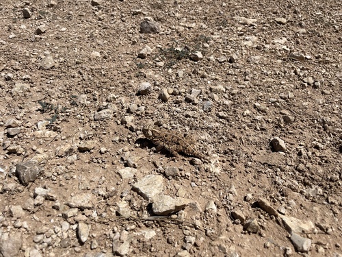
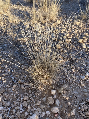
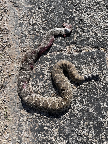
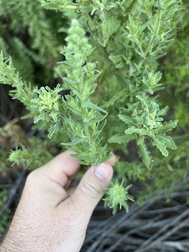
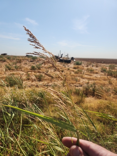
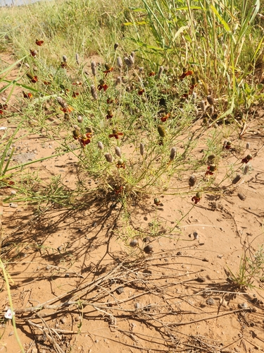
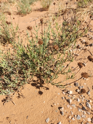
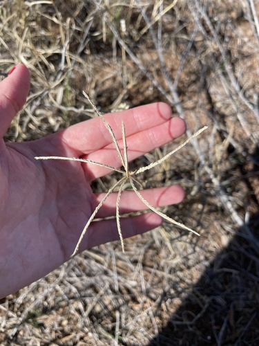
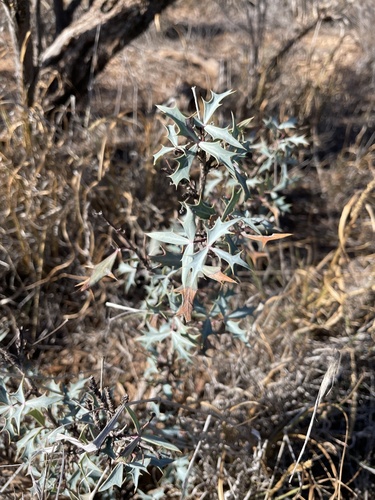
Research-grade observations from iNaturalist (within ~15 mi).
Nearest stream gauge
Events
Gallery
Sources
- • Wikipedia
- • US Census Bureau (ACS 5-year estimates)
- • NOAA National Weather Service
- • Wikidata
- • USGS Earthquake Catalog (global feed)
- • GBIF (Global Biodiversity Information Facility)
- • iNaturalist
- • CDC PLACES
- • Open-Meteo / sunrise-sunset.org
- • Wikipedia Pageviews API
- • Open Library
- • NASA EONET