Browse / United States / Texas / Denison
Denison
Texascity

Denison
Total population
25,778
Median home value
$180,900
Bachelor's+
Median income
$67,365
Founded
1872
Demographic figures from US Census Bureau · ACS 5-year estimates. Overview below cites Wikipedia and may reference a different year.
City facts
Sister cities
Facts from Wikidata (CC0).
Overview
Denison is a city in Grayson County, Texas, United States, 1 mile (1.6 km) south of the Texas–Oklahoma border. Its population was 24,479 at the 2020 census, up from 22,682 at the 2010 census. Denison is part of the Texoma region and is one of two principal cities in the Sherman–Denison metropolitan statistical area and is also part of the Dallas-Fort Worth combined statistical area. It is the birthplace of 34th U.S. president Dwight D. Eisenhower.
Read more on WikipediaHistory & geography
History
Denison was founded in 1872 in conjunction with the Missouri–Kansas–Texas Railroad (MKT) or "Katy" depot. It was named after wealthy Katy vice president George Denison. Because the town was established close to where the MKT crossed the Red River (both important conduits of transportation in the industrial era), it came to be an important commercial center in the 19th-century American West. In 1875, Doc Holliday had offices in Denison. During the phylloxera epidemic of the mid-19th century, which destroyed the vast majority of wine grapes in Europe, Denison horticulturalist T.V. Munson pioneered methods in creating phylloxera-resistant vines, and earned induction into the French Legion of Honor, as well as sister city status for Denison and Cognac, France. In 1901, the first electric "Interurban" railway in Texas, the Denison and Sherman Railway, was completed between Denison and Sherman. In 1915, Kentucky-based evangelist Mordecai Ham held a revival meeting in Denison, which resulted in 1,100 professions of faith in Jesus Christ. Denison played host to 20th-century notables such as the Marx Brothers and President Dwight D. Eisenhower, who was born on October 14, 1890, in Denison.
Geography
Denison is located in northeastern Grayson County, with the city limits extending north to the Red River, which forms the Oklahoma state line. It is bordered to the south by the city of Sherman; the city centers are apart. According to the United States Census Bureau, Denison has a total area of , of which , or 1.94%, is covered by water. Denison Dam, which forms Lake Texoma on the Red River, is north of Denison. The lake is in the center of the Texoma region, encompassing parts of Texas and Oklahoma. Denison has a humid subtropical climate (Cfa in the Köppen climate classification).
Excerpted from the corresponding Wikipedia article (CC BY-SA).
Demographics & economy
Race & ethnicity
Source: US Census Bureau — American Community Survey, 5-year estimates.
Geography
Coordinates & boundaries from the US Census TIGER/Line shapefiles.
Climate
Current forecast
Forecast for Denison, TX from NOAA NWS API.
Air quality
Industrial & pollution facilities
Natural hazard risk
Health (adults)
Age-adjusted prevalence estimates from CDC PLACES (latest release).
Walkability
Amenities nearby
Wildlife & biodiversity
Most-observed species
- Northern CardinalCardinalis cardinalis (Linnaeus, 1758) · Aves7,532
- American CrowCorvus brachyrhynchos C.L.Brehm, 1822 · Aves7,240
- Great Blue/Cocoi HeronArdea herodias Linnaeus, 1758 · Aves6,851
- Carolina ChickadeePoecile carolinensis (Audubon, 1834) · Aves6,185
- Turkey VultureCathartes aura (Linnaeus, 1758) · Aves6,183
- Red-winged BlackbirdAgelaius phoeniceus (Linnaeus, 1766) · Aves5,742
- Canada Goose (canadensis Group)Branta canadensis (Linnaeus, 1758) · Aves5,341
- MallardAnas platyrhynchos Linnaeus, 1758 · Aves5,144
Citizen-science & research observations from the Global Biodiversity Information Facility (GBIF).
Schools
Earthquake history
Most recent
- M 3.12 — 2026-02-152 km WNW of Springer, Oklahoma
- M 3.08 — 2024-08-2910 km SW of Lehigh, Oklahoma
- M 2.51 — 2023-09-2510 km S of Wilson, Oklahoma
- M 2.9 — 2023-07-1110 km S of Wilson, Oklahoma
- M 2.51 — 2022-07-209 km WSW of Lebanon, Oklahoma
- M 2.53 — 2021-12-2014 km ENE of Leon, Oklahoma
Events from the USGS Earthquake Catalog (global) (FDSN Event Web Service).
Photos
Sights & places nearby
Notable people from here


People born within ~10 km, from Wikidata (CC0). Click any name for their Wikipedia article.
Nearby places in Texas
Geography & sun
Elevation, sunrise/sunset and daylight from Open-Meteo. Solar climatology from NASA POWER.
Nearby airports
Public attention
Pageview totals from the Wikimedia Pageviews API.
Books about Denison
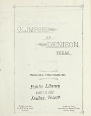
Search results from Open Library.
Recent natural events nearby
- Wildfire Atoka Lake, Atoka, OklahomaWildfires · 2026-09-14 · 52 mi
- Wildfire Buck Creek, Pushmataha, OklahomaWildfires · 2026-08-25 · 72 mi
- Wildfire PINTO, Stephens, OklahomaWildfires · 2026-09-08 · 73 mi
- Wildfire Tram Trail, Pushmataha, OklahomaWildfires · 2026-09-14 · 78 mi
- Wildfire Alexander Trail Fire, Pushmataha, OklahomaWildfires · 2026-08-30 · 88 mi
- Wildfire Alexander Trail, Pushmataha, OklahomaWildfires · 2026-08-30 · 88 mi
- Wildfire Snake Mountain, Pushmataha, OklahomaWildfires · 2026-08-14 · 94 mi
- Wildfire WRIGHT, Hughes, OklahomaWildfires · 2026-08-29 · 104 mi
Wildfires, storms and other events from NASA EONET (last 12 months, within 250 mi).
Ground air-quality sensors
Recently spotted species
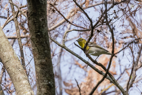
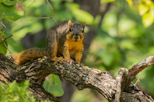
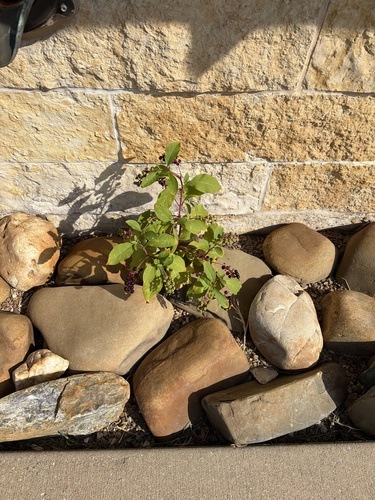
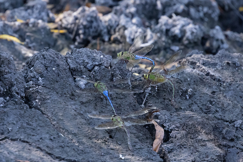
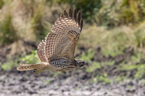
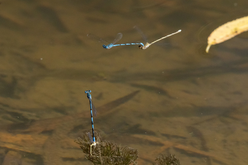
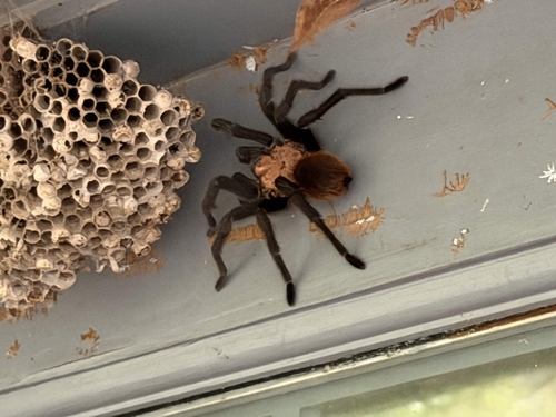
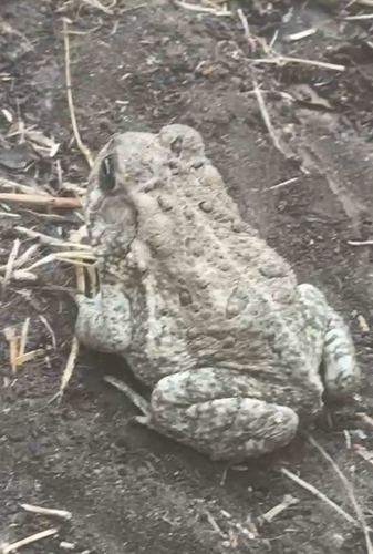
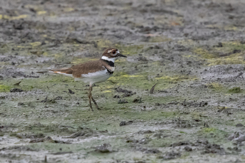
Research-grade observations from iNaturalist (within ~15 mi).
Nearest stream gauge
Events
Gallery
Sources
- • Wikipedia
- • US Census Bureau (ACS 5-year estimates)
- • NOAA National Weather Service
- • Wikidata
- • USGS Earthquake Catalog (global feed)
- • GBIF (Global Biodiversity Information Facility)
- • iNaturalist
- • CDC PLACES
- • Open-Meteo / sunrise-sunset.org
- • Wikipedia Pageviews API
- • Open Library
- • NASA EONET