Browse / United States / Texas / Gainesville
Gainesville
Texascity

Gainesville
Total population
17,883
Median home value
$177,000
Bachelor's+
Median income
$58,809
Air quality index
Demographic figures from US Census Bureau · ACS 5-year estimates. Overview below cites Wikipedia and may reference a different year.
City facts
Facts from Wikidata (CC0).
Overview
Gainesville is a city in and the county seat of Cooke County, Texas, United States and is part of the Dallas-Fort Worth, TX-OK combined statistical area. Its population was 17,394 at the 2020 census. It is part of the Texoma region and is an important Agri-business center.
Read more on WikipediaHistory & geography
History
Founded in 1850, the city of Gainesville was established on a tract of land donated by Mary E. Clark. City residents called their new community "Liberty", which proved short-lived, as Liberty, Texas, already existed. One of the original settlers of Cooke County, Colonel William Fitzhugh, suggested that the town be named after General Edmund Pendleton Gaines. Gaines, a United States general under whom Fitzhugh had served, had been sympathetic to the Texas Revolution. The first hint of prosperity arrived with the Butterfield Overland Mail stagecoach in September 1858, bringing freight, passengers, and mail. In 1860, Cooke County voted against secession. In 1862, during the Civil War, the Great Hanging at Gainesville, a controversial trial and lynching of 40 suspected Union loyalists, brought the new town to the attention of the state and came close to ripping the county apart. In the decade after the Civil War, Gainesville had its first period of extended growth, catalyzed by the expansion of the cattle industry in Texas. Gainesville, only from the Oklahoma border, became a supply point for cowboys driving herds north to Kansas. The merchants of Gainesville reaped considerable benefits from the passing cattle drives. Within 20 years, its population increased from a few hundred to more than 2,000. Gainesville was incorporated on February 17, 1873, and by 1890 was established as a commercial and shipping point for area ranchers and farmers. In the late 1870s, two factors drastically altered the historic landscape of North-central Texas. The first of these was barbed wire. In 1875, Henry B. Sanborn, a regional sales agent for Joseph Glidden's Bar Fence Company of DeKalb, Illinois, traveled to Texas. That autumn, he chose Gainesville as one of his initial distribution…
Geography
Gainesville is located slightly east of the center of Cooke County. According to the United States Census Bureau, the city has a total area of , of which , or 0.15%, is covered by water. The town is located at the interchange of two major thoroughfares: U.S. Route 82 running east–west, passing over Interstate 35 (north–south). It is an exurb of the Dallas-Fort Worth metroplex, north of the center of Dallas and north of the center of Fort Worth. It is also a part of the Texoma region. Nearby towns and cities include: * North: Thackerville, Oklahoma * South: Valley View * East: Whitesboro * West: Lindsay Gainesville usually enjoys sunny weather similar to the rest of Texas, with the exception of a few natural disasters. On June 18, 2007, thunderstorms moved through Gainesville, resulting in intense flooding. Over fell in Gainesville and nearby Sherman. On June 20, around 5:00 am, straight-line winds hit, and Wichita Falls had winds up to . Much of the center of the town was flooded and several people died.
Excerpted from the corresponding Wikipedia article (CC BY-SA).
Demographics & economy
Race & ethnicity
Source: US Census Bureau — American Community Survey, 5-year estimates.
Geography
Coordinates & boundaries from the US Census TIGER/Line shapefiles.
Climate
Current forecast
Forecast for Gainesville, TX from NOAA NWS API.
Air quality
Current readings from Open-Meteo Air Quality API (Copernicus CAMS European reanalysis).
Industrial & pollution facilities
Natural hazard risk
Health (adults)
Age-adjusted prevalence estimates from CDC PLACES (latest release).
Walkability
Amenities nearby
Wildlife & biodiversity
Most-observed species
- American CrowCorvus brachyrhynchos C.L.Brehm, 1822 · Aves447
- Northern CardinalCardinalis cardinalis (Linnaeus, 1758) · Aves446
- Turkey VultureCathartes aura (Linnaeus, 1758) · Aves438
- European StarlingSturnus vulgaris Linnaeus, 1758 · Aves307
- Carolina ChickadeePoecile carolinensis (Audubon, 1834) · Aves304
- Tufted TitmouseBaeolophus bicolor (Linnaeus, 1766) · Aves282
- Northern MockingbirdMimus polyglottos (Linnaeus, 1758) · Aves275
- Blue JayCyanocitta cristata (Linnaeus, 1758) · Aves267
Citizen-science & research observations from the Global Biodiversity Information Facility (GBIF).
Schools
Earthquake history
Most recent
- M 2.72 — 2026-05-154 km SE of Ratliff City, Oklahoma
- M 2.91 — 2026-03-225 km SE of Ratliff City, Oklahoma
- M 3.27 — 2026-03-017 km SE of Ratliff City, Oklahoma
- M 2.53 — 2026-02-286 km SE of Ratliff City, Oklahoma
- M 2.67 — 2026-02-267 km SE of Ratliff City, Oklahoma
- M 2.96 — 2026-02-236 km SE of Ratliff City, Oklahoma
Events from the USGS Earthquake Catalog (global) (FDSN Event Web Service).
Photos
Sights & places nearby
Notable people from here


People born within ~10 km, from Wikidata (CC0). Click any name for their Wikipedia article.
Nearby places in Texas
- Lindsay4.1 mi away
- Gunter24.3 mi away · pop. 2,398
- Aubrey24.8 mi away · pop. 7,396
- Little Elm33.5 mi away · pop. 46,453
- Denison33.8 mi away · pop. 25,778
- Lake Dallas36 mi away
- Lakewood Village36.1 mi away
- Alvord37.1 mi away · pop. 1,294
- Copper Canyon37.6 mi away
- Justin39.6 mi away · pop. 5,447
- Anna39.7 mi away · pop. 24,330
- Double Oak39.9 mi away · pop. 3,071
Geography & sun
Elevation, sunrise/sunset and daylight from Open-Meteo. Solar climatology from NASA POWER.
Nearby airports
Public attention
Pageview totals from the Wikimedia Pageviews API.
Books about Gainesville


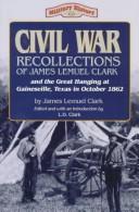
Search results from Open Library.
Recent natural events nearby
- Wildfire PINTO, Stephens, OklahomaWildfires · 2026-09-08 · 59 mi
- Wildfire Atoka Lake, Atoka, OklahomaWildfires · 2026-09-14 · 80 mi
- Wildfire Ross, Palo Pinto, TexasWildfires · 2026-08-24 · 92 mi
- Wildfire Buck Creek, Pushmataha, OklahomaWildfires · 2026-08-25 · 102 mi
- Wildfire Tram Trail, Pushmataha, OklahomaWildfires · 2026-09-14 · 111 mi
- Wildfire SOUTH RAILROAD, Comanche, OklahomaWildfires · 2026-08-30 · 112 mi
- Wildfire RAILROAD SOUTH, Comanche, OklahomaWildfires · 2026-08-29 · 112 mi
- Wildfire Bufford Creek, Stephens, TexasWildfires · 2026-08-10 · 113 mi
Wildfires, storms and other events from NASA EONET (last 12 months, within 250 mi).
Ground air-quality sensors
Recently spotted species
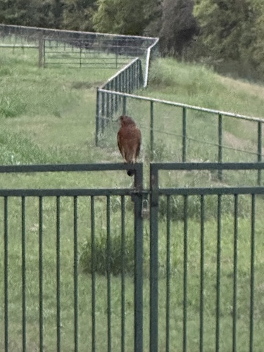
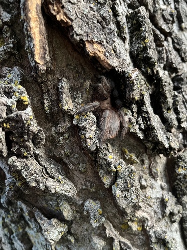
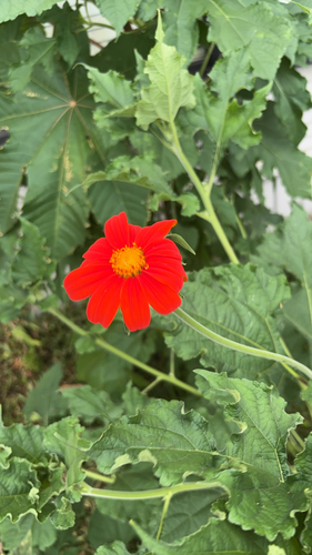
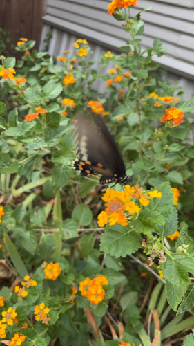
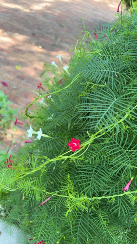
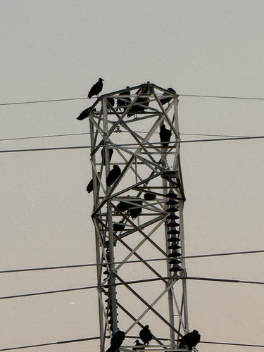
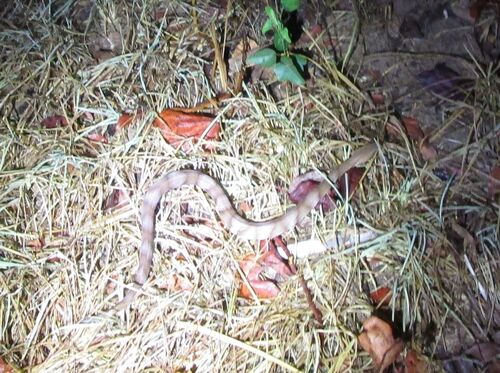
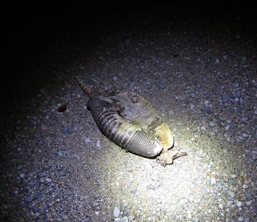
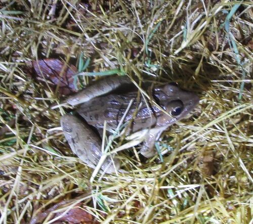
Research-grade observations from iNaturalist (within ~15 mi).
Nearest stream gauge
Live readings from USGS NWIS · measured 2026-10-07 17:15 UTC.
Events
Gallery
Sources
- • Wikipedia
- • US Census Bureau (ACS 5-year estimates)
- • NOAA National Weather Service
- • Wikidata
- • Open-Meteo Air Quality (CAMS)
- • USGS Earthquake Catalog (global feed)
- • USGS NWIS (water data)
- • GBIF (Global Biodiversity Information Facility)
- • iNaturalist
- • CDC PLACES
- • Open-Meteo / sunrise-sunset.org
- • Wikipedia Pageviews API
- • Open Library
- • NASA EONET