Browse / United States / Texas / El Paso
El Paso
Texascity

El Paso
Total population
681,724
Median home value
$209,600
Bachelor's+
Median income
$59,932
Founded
1680
Air quality index
Demographic figures from US Census Bureau · ACS 5-year estimates. Overview below cites Wikipedia and may reference a different year.
City facts
Facts from Wikidata (CC0).
Overview
El Paso is a city in and the county seat of El Paso County, Texas, United States. It is the 23rd-most populous city in the U.S., sixth-most populous city in Texas, and the most populous city in West Texas with a population of 678,815 at the 2020 census. The El Paso metropolitan area has an estimated 879,000 residents.
Read more on WikipediaHistory & geography
History
The El Paso region has had human settlement for thousands of years, as evidenced by Folsom points from hunter-gatherers found at Hueco Tanks. This suggests 10,000 to 12,000 years of human habitation. The earliest known cultures in the region were maize farmers. When the Spanish arrived, the Manso, Suma, and Jumano tribes populated the area. These were subsequently incorporated into the mestizo culture, along with immigrants from central Mexico, captives from Comanchería, and genízaros of various ethnic groups. The Mescalero Apache were also present. The Chamuscado and Rodríguez Expedition trekked through present-day El Paso and forded the Rio Grande where they visited the land that is present-day New Mexico in 1581–1582. The expedition was led by Francisco Sánchez, called "El Chamuscado", and Fray Agustín Rodríguez, the first Spaniards known to have walked along the Rio Grande and visited the Pueblo Indians since Francisco Vásquez de Coronado 40 years earlier. Spanish explorer Don Juan de Oñate was born in 1550 in Zacatecas, Zacatecas, Mexico, and was the first New Spain (Mexico) explorer known to have rested and stayed 10 days by the Rio Grande near El Paso, in 1598, celebrating a Thanksgiving Mass there on April 30, 1598. Four survivors of the Narváez expedition, Álvar Núñez Cabeza de Vaca, Alonso del Castillo Maldonado, Andrés Dorantes de Carranza, and an enslaved native of Morocco, Estevanico, are thought to have crossed the Rio Grande into present-day Mexico about 75 miles south of El Paso in 1535. El Paso del Norte (present-day Ciudad Juárez) was founded on the south bank of the Río Bravo del Norte (Rio Grande), in 1659 by Fray Garcia de San Francisco. In 1680, the small village of El Paso became the temporary base for Spanish governance of the territory of New…
Geography
El Paso is located at the intersection of three states (Chihuahua, New Mexico, and Texas) and two countries (Mexico and the U.S.). It is the only major Texas city in the Mountain Time Zone. Ciudad Juarez was once in the Central Time Zone, but both cities are now on Mountain Time. El Paso is closer to the capital cities of four other states: Phoenix, Arizona ( away); Santa Fe, New Mexico ( away); Ciudad Chihuahua, Chihuahua, ( away), and Hermosillo, Sonora ( away)—than it is to the capital of its own state, Austin ( away). It is closer to Los Angeles, California ( away) than it is to Orange, Texas ( away), the easternmost town in the same state as this city. El Paso is located within the Chihuahuan Desert, the easternmost section of the Basin and Range Region. The Franklin Mountains extend into El Paso from the north and nearly divide the city into two sections; the west side forms the beginnings of the Mesilla Valley, and the east side expands into the desert and lower valley. They connect in the central business district at the southern end of the mountain range. The city's elevation is above sea level. North Franklin Mountain is the highest peak in the city at above sea level. The peak can be seen from in all directions. Additionally, this mountain range is home to the famous natural red-clay formation, the Thunderbird, from which the local Coronado High School gets its mascot's name. According to the United States Census Bureau, the city has a total area of . The Franklin Mountains State Park, one of the largest urban parks in the United States, lies entirely in El Paso, extending from the north and dividing the city into several sections along with Fort Bliss and El Paso International Airport. The Rio Grande Rift, which passes around the southern end of the…
Excerpted from the corresponding Wikipedia article (CC BY-SA).
Demographics & economy
Race & ethnicity
Source: US Census Bureau — American Community Survey, 5-year estimates.
Geography
Coordinates & boundaries from the US Census TIGER/Line shapefiles.
Climate
Current forecast
Forecast for El Paso, TX from NOAA NWS API.
Air quality
Current readings from Open-Meteo Air Quality API (Copernicus CAMS European reanalysis).
Industrial & pollution facilities
Natural hazard risk
Health (adults)
Age-adjusted prevalence estimates from CDC PLACES (latest release).
Walkability
Amenities nearby
Wildlife & biodiversity
Most-observed species
- White-winged DoveZenaida asiatica (Linnaeus, 1758) · Aves11,606
- House FinchHaemorhous mexicanus (P.L.Statius Müller, 1776) · Aves9,495
- Great-tailed GrackleQuiscalus mexicanus (Gmelin, 1788) · Aves8,261
- House SparrowPasser domesticus (Linnaeus, 1758) · Aves7,834
- Mourning DoveZenaida macroura (Linnaeus, 1758) · Aves7,260
- Rock PigeonColumba livia J.F.Gmelin, 1789 · Aves6,667
- Northern MockingbirdMimus polyglottos (Linnaeus, 1758) · Aves6,162
- VerdinAuriparus flaviceps (Sundevall, 1850) · Aves5,305
Citizen-science & research observations from the Global Biodiversity Information Facility (GBIF).
Schools
Largest nearby schools
- FRANKLIN H SHigh · EL PASO · 3,149 students · 17.9:1 ratio
- CORONADO H SHigh · EL PASO · 2,391 students · 17.3:1 ratio
- EASTWOOD H SHigh · EL PASO · 2,381 students · 16.5:1 ratio
- BEL AIR H SHigh · EL PASO · 1,839 students · 15.3:1 ratio
- CHAPIN H SHigh · EL PASO · 1,718 students · 16.5:1 ratio
- DON HASKINS PK-8Elementary · EL PASO · 1,674 students · 16.4:1 ratio
- PARKLAND H SHigh · EL PASO · 1,674 students · 15.5:1 ratio
- CANUTILLO H SHigh · EL PASO · 1,642 students · 16.1:1 ratio
Public K–12 schools within ~10 mi from Urban Institute Education Data Portal (NCES Common Core of Data, 2022).
Earthquake history
Most recent
- M 2.8 — 2020-10-096 km NE of Mesquite, New Mexico
- M 2.8 — 2015-02-1534 km ESE of Pecan Park, New Mexico
- M 2.9 — 2015-02-0835 km ESE of Ventura, New Mexico
- M 3 — 2015-02-0835 km W of Fairacres, New Mexico
- M 2.6 — 2015-02-0838 km ESE of Pecan Park, New Mexico
- M 3 — 2015-02-0836 km E of Pecan Park, New Mexico
Events from the USGS Earthquake Catalog (global) (FDSN Event Web Service).
Photos
Sights & places nearby
Notable people from here


People born within ~10 km, from Wikidata (CC0). Click any name for their Wikipedia article.
Nearby places in Texas
Geography & sun
Elevation, sunrise/sunset and daylight from Open-Meteo. Solar climatology from NASA POWER.
Nearby airports
Public attention
Pageview totals from the Wikimedia Pageviews API.
Books about El Paso
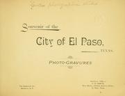


Search results from Open Library.
Recent natural events nearby
- Wildfire CATO 2, Chaves, New MexicoWildfires · 2026-08-15 · 185 mi
- Wildfire WHISKEY, Torrance, New MexicoWildfires · 2026-08-21 · 196 mi
- Prescribed Fire D3 Bear RX, Greenlee, ArizonaWildfires · 2026-10-02 · 205 mi
- Prescribed Fire D6 Wallow West Unit 6 RX, Apache, ArizonaWildfires · 2026-09-13 · 221 mi
- Wildfire Paddy Creek, Apache, ArizonaWildfires · 2026-08-25 · 224 mi
- Wildfire Butte, Gila, ArizonaWildfires · 2026-08-03 · 246 mi
Wildfires, storms and other events from NASA EONET (last 12 months, within 250 mi).
Ground air-quality sensors
Recently spotted species
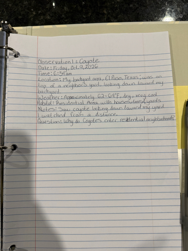
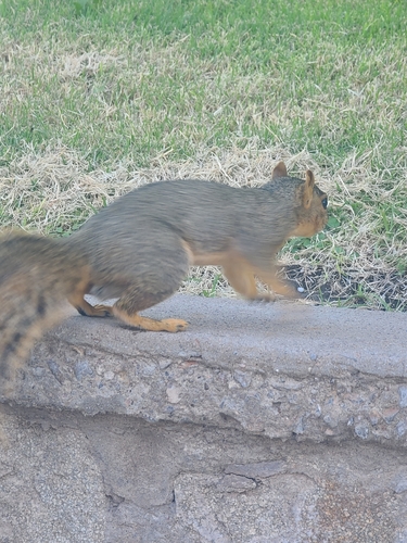
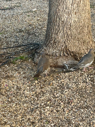
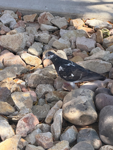
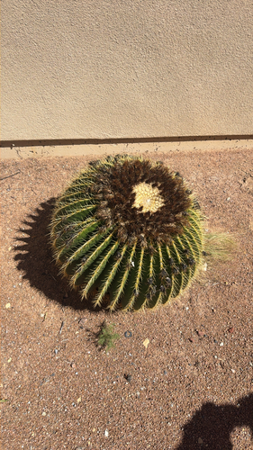
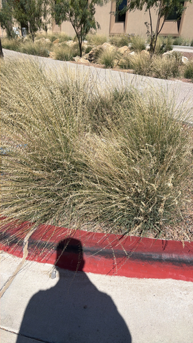
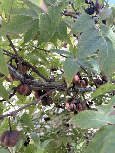
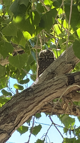
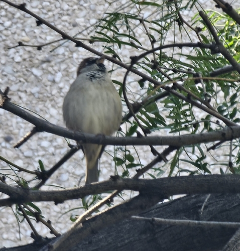
Research-grade observations from iNaturalist (within ~15 mi).
Nearest stream gauge
Live readings from USGS NWIS · measured 2026-10-16 05:30 UTC.
Events
Notable, recurring, and historical events associated with El Paso, sourced from Wikidata.
- Jul 4, 1996
Source: Wikidata (CC0).
Gallery
Geotagged photos within ~6 miles of El Paso, from Wikimedia Commons contributors.
 0.6 mi
 1.2 mi
 1.2 mi
 1.4 mi
 1.5 mi
 1.6 mi
 1.6 mi
 1.6 mi
.jpg) 1.6 mi
1.6 mi 1.7 mi
 1.7 mi
 1.7 mi
 1.7 mi
 1.8 mi
 1.8 mi
.jpg) 1.8 mi
1.8 mi.jpg) 1.8 mi
1.8 mi.jpg) 1.8 mi
1.8 mi.jpg) 1.8 mi
1.8 mi 1.9 mi
.jpg) 1.9 mi
1.9 mi 2 mi
2 mi 2.1 mi
 2.1 mi
Photos via Wikimedia Commons — see each image page for license & attribution.
Sources
- • Wikipedia
- • US Census Bureau (ACS 5-year estimates)
- • NOAA National Weather Service
- • Wikimedia Commons
- • Wikidata
- • Open-Meteo Air Quality (CAMS)
- • USGS Earthquake Catalog (global feed)
- • USGS NWIS (water data)
- • NCES via Urban Institute Education Data Portal
- • GBIF (Global Biodiversity Information Facility)
- • iNaturalist
- • CDC PLACES
- • Open-Meteo / sunrise-sunset.org
- • Wikipedia Pageviews API
- • Open Library
- • NASA EONET