Browse / United Kingdom / England / Audenshaw
Audenshaw
Englandtown

Audenshaw
Demographic figures from UK Office for National Statistics. Overview below cites Wikipedia and may reference a different year.
City facts
Overview
Audenshaw is a town in Tameside, Greater Manchester, England. It lies east of Gorton, in the City of Manchester, and 4.9 miles (7.9 km) east of Manchester city centre. Historically part of Lancashire, in 2011 it had a population of 11,419.
Read more on WikipediaHistory & geography
History
The name Audenshaw is a corruption of its earlier name Aldwinshagh which derives from Aldwin, a Saxon personal name, combined with the Old English suffix shagh meaning "Woodland". Nico Ditch, a medieval linear earthwork, runs through the area. Stretching from Ashton Moss in the east to just east of Stretford in the west, the origin of the ditch is unclear. According to legend, it was completed in a single night by the inhabitants of Manchester, as a protection against Viking invaders in 869–870, and that it was the site of a bloody battle between Saxons and Danes and that Gorton and Reddish got their name from the battle, "Gore Town" and "Red-Ditch". Despite the legend, the U-shape of the ditch – as opposed to the usual V-shape of military earthworks – and the absence of an associated bank indicates that Nico Ditch was probably a boundary marker. Although it is thought to be earlier, the earliest documented reference to Nico Ditch is in a charter detailing the granting of land in Audenshaw to the monks of the Kersal Cell. In the document, dating from 1190 to 1212, the ditch is referred to as "Mykelldiche", and a magnum fossatum, Latin for "large ditch". In 1877, part of the original village of Audenshaw was demolished to make way for the three Audenshaw Reservoirs. Also destroyed to allow the construction of the reservoirs was a section of Nico Ditch.
Excerpted from the corresponding Wikipedia article (CC BY-SA).
Geography
Coordinates & boundaries from the US Census TIGER/Line shapefiles.
Climate
Air quality
Walkability
Amenities nearby
Wildlife & biodiversity
Earthquake history
Photos
Sights & places nearby
Notable people from here


People born within ~10 km, from Wikidata (CC0). Click any name for their Wikipedia article.
Nearby places in England
Geography & sun
Elevation, sunrise/sunset and daylight from Open-Meteo. Solar climatology from NASA POWER.
Nearby airports
Public attention
Pageview totals from the Wikimedia Pageviews API.
Books about Audenshaw
![[Report 1948]](https://covers.openlibrary.org/b/id/7950513-M.jpg)
![[Report 1956]](https://covers.openlibrary.org/b/id/7960443-M.jpg)
![[Report 1946]](https://covers.openlibrary.org/b/id/7943111-M.jpg)
![[Report 1922]](https://covers.openlibrary.org/b/id/11792094-M.jpg)
![[Report 1972]](https://covers.openlibrary.org/b/id/13393912-M.jpg)
![[Report 1963]](https://covers.openlibrary.org/b/id/7975213-M.jpg)
![[Report 1969]](https://covers.openlibrary.org/b/id/7920784-M.jpg)
![[Report 1939]](https://covers.openlibrary.org/b/id/7930817-M.jpg)
Search results from Open Library.
Recent natural events nearby
Ground air-quality sensors
Recently spotted species
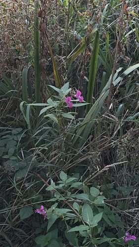


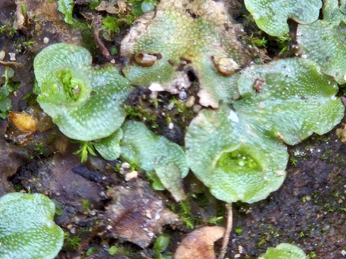
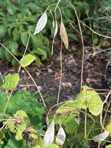
Research-grade observations from iNaturalist (within ~15 mi).
Events
Gallery
Sources
- • Wikipedia
- • Wikidata
- • iNaturalist
- • Open-Meteo / sunrise-sunset.org
- • Wikipedia Pageviews API
- • Open Library