Browse / United Kingdom / England / Birmingham
Birmingham
Englandcity

Birmingham
Total population
1,036,878
Air quality index
Demographic figures from UK Office for National Statistics. Overview below cites Wikipedia and may reference a different year.
City facts
Facts from Wikidata (CC0).
Overview
Birmingham is a city and metropolitan borough in the centre of the West Midlands region of England. It is the largest local authority district in England by population and the second-largest city in Britain – commonly referred to as the second city of the United Kingdom – with a population of 1.2 million people in the city proper in 2025. Birmingham is the centre of the ceremonial West Midlands county, and borders the Black Country to its west and, together with the city of Wolverhampton and towns including Walsall, West Bromwich, Dudley and Solihull, forms the West Midlands conurbation. The Royal Town of Sutton Coldfield is incorporated within the city limits to the north and northeast. Birmingham's urban area has a population of 2.7 million and its wider metropolitan area has a population of 4.3 million. The city of Coventry lies to the east of the city, separated by the Meriden Gap. The cathedral city of Lichfield lies to the north of the city, separated by the M6 Toll.
Read more on WikipediaHistory & geography
History
There is evidence of early human activity in the Birmingham area dating back to around 8000 BC, with Stone Age artefacts suggesting seasonal settlements, overnight hunting parties and woodland activities such as tree felling. The many burnt mounds that can still be seen around the city indicate that modern humans first intensively settled and cultivated the area during the Bronze Age, when a substantial but short-lived influx of population occurred between 1700 BC and 1000 BC, possibly caused by conflict or immigration in the surrounding area. During the 1st-century Roman conquest of Britain, the forested country of the Birmingham Plateau formed a barrier to the advancing Roman legions, who built the large Metchley Fort in the area of modern-day Edgbaston in AD 48, and made it the focus of a network of Roman roads. Birmingham was then later established by the Beormingas around the 6th or 7th century as a small settlement in the then heavily forested Arden region in Mercia. The development of Birmingham into a significant urban and commercial centre began in 1166, when the Lord of the manor Peter de Bermingham obtained a charter to hold a market at his castle, and followed this with the creation of a planned market town and seigneurial borough within his demesne or manorial estate, around the site that became the Bull Ring. This established Birmingham as the primary commercial centre for the Birmingham Plateau at a time when the area's economy was expanding rapidly, with population growth nationally leading to the clearance, cultivation and settlement of previously marginal land. Within a century of the charter Birmingham had grown into a prosperous urban centre of merchants and craftsmen. By 1327 it was the third-largest town in Warwickshire, a…
Geography
Birmingham is located in the centre of the West Midlands region of England on the Birmingham Plateau – an area of relatively high ground, ranging between above sea level and crossed by Britain's main north–south watershed between the basins of the Rivers Severn and Trent. To the immediate south west of the city lie the Lickey Hills, Clent Hills and Walton Hill, which reach and have extensive views over the city. Birmingham is drained only by minor rivers and brooks, primarily the River Tame and its tributaries the Cole and the Rea. Birmingham is located significantly inland, and its nearest body of sea is at Liverpool Bay. It lies at the same latitude as Lowestoft, Britain's easternmost settlement; it is therefore much more proximate to the western coast of Wales, at Cardigan Bay. The City of Birmingham forms a conurbation with the borough of Solihull to the south east, and with the city of Wolverhampton and the industrial towns of the Black Country to the north west, which form the West Midlands Built-up Area covering . Surrounding this is Birmingham's metropolitan area – the area to which it is closely economically tied through commuting – which includes the towns of Tamworth and Cannock to the north; the city of Coventry and the towns of Nuneaton, Warwick and Leamington Spa to the east in Warwickshire and the Worcestershire towns of Redditch, Kidderminster and Bromsgrove to the south west. As the crow flies, Birmingham lies approximately north-west of London, north-east of the Welsh capital Cardiff, south-west of Nottingham, south of Manchester, and north-north-east of Bristol. Much of the area now occupied by the city was originally a northern reach of the ancient Forest of Arden and the city remains relatively densely covered by oak in a large number of…
Excerpted from the corresponding Wikipedia article (CC BY-SA).
Geography
Coordinates & boundaries from the US Census TIGER/Line shapefiles.
Climate
Air quality
Current readings from Open-Meteo Air Quality API (Copernicus CAMS European reanalysis).
Walkability
Amenities nearby
Wildlife & biodiversity
Most-observed species
- Common Wood-PigeonColumba palumbus Linnaeus, 1758 · Aves15,762
- Eurasian MagpiePica pica (Linnaeus, 1758) · Aves13,866
- European RobinErithacus rubecula (Linnaeus, 1758) · Aves13,485
- Eurasian Blue TitCyanistes caeruleus (Linnaeus, 1758) · Aves12,465
- Carrion CrowCorvus corone Linnaeus, 1758 · Aves12,296
- Eurasian BlackbirdTurdus merula Linnaeus, 1758 · Aves12,232
- Great TitParus major Linnaeus, 1758 · Aves10,303
- MallardAnas platyrhynchos Linnaeus, 1758 · Aves10,301
Citizen-science & research observations from the Global Biodiversity Information Facility (GBIF).
Earthquake history
Most recent
- M 2.7 — 2023-06-282 km SE of Cheadle, United Kingdom
- M 3.6 — 2022-05-302 km ESE of Prees, United Kingdom
- M 3.2 — 2022-02-215 km N of Hockley, United Kingdom
- M 2.8 — 2015-09-222 km W of Cottesmore, United Kingdom
- M 3.8 — 2015-01-282 km WSW of Market Overton, United Kingdom
- M 2.6 — 2014-10-282 km NNE of Hucknall, United Kingdom
Events from the USGS Earthquake Catalog (global) (FDSN Event Web Service).
Photos
Sights & places nearby
Notable people from here


People born within ~10 km, from Wikidata (CC0). Click any name for their Wikipedia article.
Nearby places in England
Geography & sun
Elevation, sunrise/sunset and daylight from Open-Meteo. Solar climatology from NASA POWER.
Nearby airports
Public attention
Pageview totals from the Wikimedia Pageviews API.
Books about Birmingham
Search results from Open Library.
Recent natural events nearby
Ground air-quality sensors
Recently spotted species
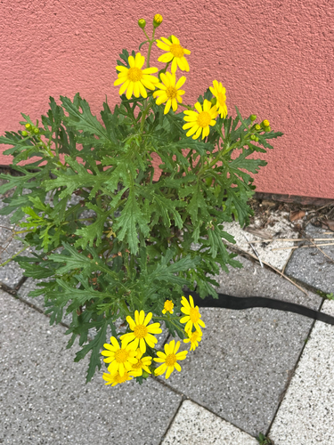
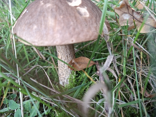
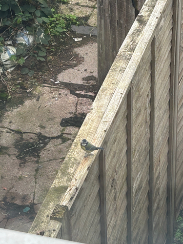
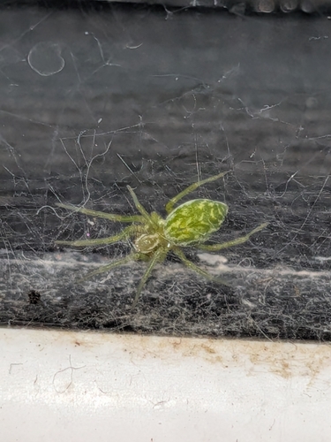
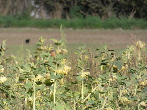
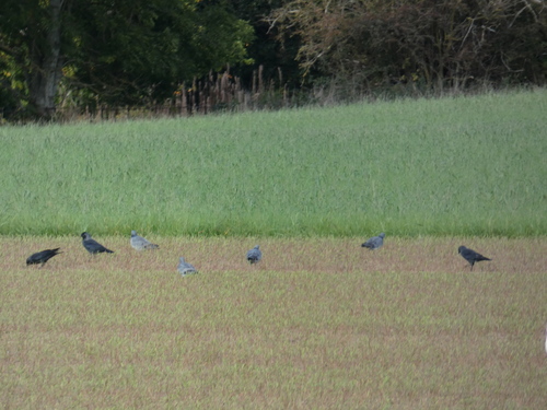
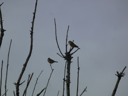
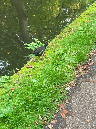
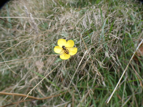
Research-grade observations from iNaturalist (within ~15 mi).
Events
Notable, recurring, and historical events associated with Birmingham, sourced from Wikidata.
- 2026 European Athletics Championships – Women's marathonAug 16, 2026planned event
sporting event in Birmingham on 16 August 2026
- Aug 16, 2026
- 2026 European Athletics Championships – Men's marathonAug 16, 2026sporting event
- Jan 1, 2022
- 2018 IAAF World Indoor Championships – men's triple jumpMar 4, 2018sporting event
- 2018 IAAF World Indoor Championships – women's long jumpMar 4, 2018sporting event
- 2018 IAAF World Indoor Championships – men's pole vaultMar 4, 2018sporting event
- Mar 3, 2018
- 2018 IAAF World Indoor Championships – men's 60 metresMar 3, 2018sporting event
- Mar 1, 2018
- 2018 IAAF World Indoor Championships – men's heptathlonJan 1, 2018sporting event
- Jan 1, 2018
- Jan 1, 2018
- Jan 1, 2018
- Jan 1, 2017
- 2003 IAAF World Indoor Championships – men's triple jumpJan 1, 2003sporting event
Source: Wikidata (CC0).
Gallery
Geotagged photos within ~6 miles of Birmingham, from Wikimedia Commons contributors.


.jpg)
.jpg)
.jpg)
.jpg)
.jpg)


.jpg)
.jpg)


_-_geograph.org.uk_-_4597233.jpg)
Photos via Wikimedia Commons — see each image page for license & attribution.
Official Identifiers
ONS — UK Office for National Statistics
- ONS code
- osgb4000000074540884
- Local type
- City
- Region
- West Midlands
api.postcodes.io / OS Open Names
Sources
- • Wikipedia
- • Wikimedia Commons
- • Wikidata
- • Open-Meteo Air Quality (CAMS)
- • USGS Earthquake Catalog (global feed)
- • GBIF (Global Biodiversity Information Facility)
- • iNaturalist
- • Open-Meteo / sunrise-sunset.org
- • Wikipedia Pageviews API
- • Open Library
- • Wikidata SPARQL (CC0) — population, area, elevation, inception, head of government, Commons image
- • ONS / OS Open Names — UK official place gazetteer, via api.postcodes.io (OS code, local type, county/unitary, district/borough, region)
- • ONS — UK Office for National Statistics — api.postcodes.io / OS Open Names