Browse / United Kingdom / England / Bolton
Bolton
Englandtown

Bolton
Total population
139,403
Demographic figures from UK Office for National Statistics. Overview below cites Wikipedia and may reference a different year.
City facts
Facts from Wikidata (CC0).
Overview
Bolton is a town in Greater Manchester in England. In the foothills of the West Pennine Moors, Bolton is between Manchester, Blackburn, Wigan, Bury and Salford. It is surrounded by several towns and villages that form the wider borough, of which Bolton is the administrative centre. The town is within the historic county boundaries of Lancashire.
Read more on WikipediaHistory & geography
History
Bolton is a common Northern English name derived from the Old English -, meaning a settlement with a dwelling. The first recorded use of the name, in the form Boelton, dates from 1185 to describe Bolton le Moors, though this may not be in relation to a dwelling. It was recorded as Bothelton in 1212, Botelton in 1257, Boulton in 1288, and Bolton after 1307. Later forms of Botheltun were Bodeltown, Botheltun-le-Moors, Bowelton, Boltune, Bolton-super-Moras, Bolton-in-ye-Moors, Bolton-le-Moors. The town's motto of means "overcome difficulties" (or "delays"), and is a pun on the Bolton-super-Moras version of the name meaning literally, "Bolton on the moors". There is evidence of human existence on the moors around Bolton since the early part of the Bronze Age, including a stone circle on Cheetham Close above Egerton, and Bronze Age burial mounds on Winter Hill. A Bronze Age mound was excavated in Victorian times outside Haulgh Hall. The Romans built roads from Manchester to Ribchester to the east and a road along what is now the A6 to the west. It is claimed that Agricola built a fort at Blackrod by clearing land above the forest. Evidence of a Saxon settlement exists in the form of religious objects found when the Victorian parish church was built. In 1067 Great Bolton was the property of Roger de Poitou and after 1100, of Roger de Meresheys. Bolton became the property of the Pilkington family until they forfeited the land in the Wars of the Roses. The land was given to the Stanley family and thus the Earls of Derby who became royalists in the English Civil War. The area surrounding Bolton was subsequently divided into four parts including the Stanley family, the Earl of Bradford, a Freeman and various other parties. Great Bolton and Little Bolton were part of the…
Geography
Close to the West Pennine Moors, Bolton is north-west of Manchester. The early name, Bolton le Moors, described the position of the town amid the low hills on the edge of the West Pennine Moors southeast of Rivington Pike (456 m). Bolton lies on relatively flat land on both sides of the clough or steep-banked valley through which the River Croal flows in a southeasterly direction towards the River Irwell.
Excerpted from the corresponding Wikipedia article (CC BY-SA).
Geography
Coordinates & boundaries from the US Census TIGER/Line shapefiles.
Climate
Air quality
Walkability
Amenities nearby
Wildlife & biodiversity
Earthquake history
Photos
Sights & places nearby
Notable people from here


People born within ~10 km, from Wikidata (CC0). Click any name for their Wikipedia article.
Nearby places in England
Geography & sun
Elevation, sunrise/sunset and daylight from Open-Meteo. Solar climatology from NASA POWER.
Nearby airports
Public attention
Pageview totals from the Wikimedia Pageviews API.
Books about Bolton
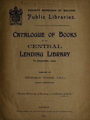
Search results from Open Library.
Recent natural events nearby
Ground air-quality sensors
Recently spotted species
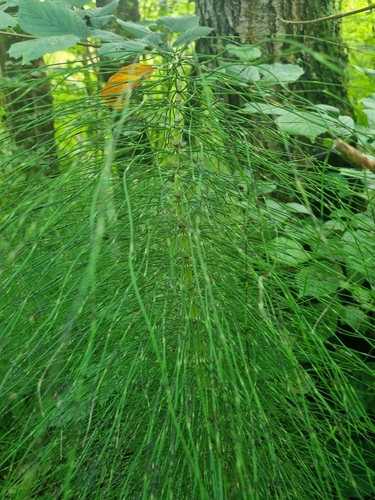
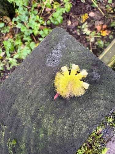
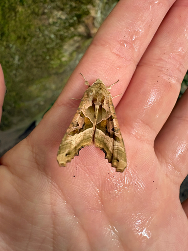
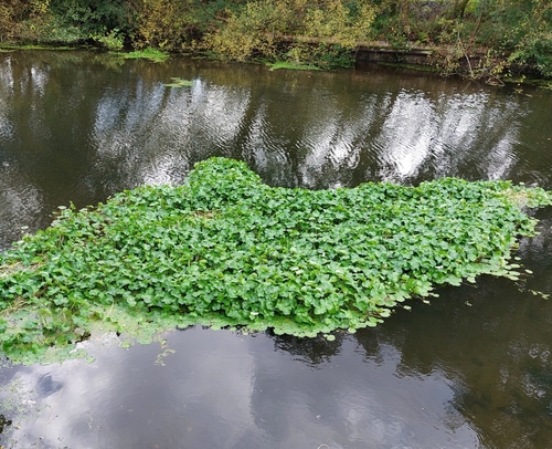
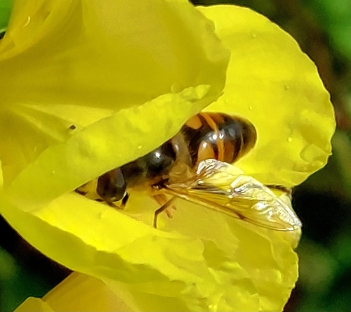
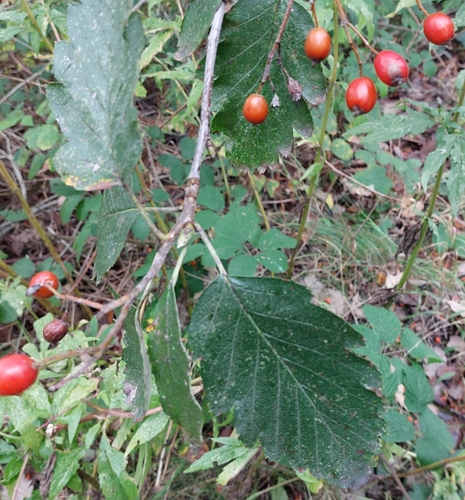
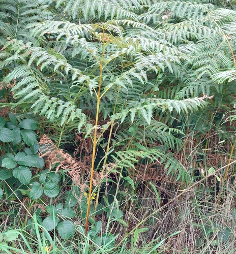
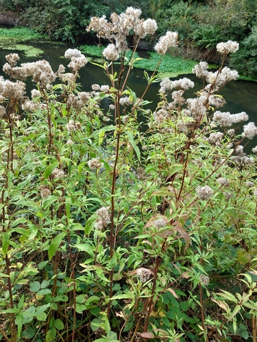
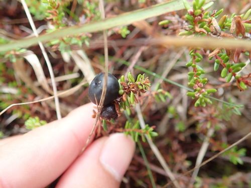
Research-grade observations from iNaturalist (within ~15 mi).
Events
Gallery
Official Identifiers
ONS — UK Office for National Statistics
- ONS code
- osgb4000000074550817
- Local type
- Town
- Region
- North West
api.postcodes.io / OS Open Names
Sources
- • Wikipedia
- • Wikidata
- • iNaturalist
- • Open-Meteo / sunrise-sunset.org
- • Wikipedia Pageviews API
- • Open Library
- • Wikidata SPARQL (CC0) — population, area, elevation, inception, head of government, Commons image
- • ONS / OS Open Names — UK official place gazetteer, via api.postcodes.io (OS code, local type, county/unitary, district/borough, region)
- • ONS — UK Office for National Statistics — api.postcodes.io / OS Open Names