Browse / United Kingdom / England / Bristol
Bristol
Englandcity

Bristol
Total population
463,400
Founded
1155
Air quality index
Demographic figures from UK Office for National Statistics. Overview below cites Wikipedia and may reference a different year.
City facts
Facts from Wikidata (CC0).
Overview
Bristol is a city and ceremonial county in South West England. It is on the River Avon, and bordered by Gloucestershire to the north and Somerset to the south, with a short coastline on the Bristol Channel to the west. The county includes most of the Bristol conurbation, but the urban area extends into South Gloucestershire, Bath and North East Somerset, and North Somerset.
Read more on WikipediaHistory & geography
History
Archaeological finds, including flint tools believed to be between 300,000 and 126,000years old made with the Levallois technique, indicate the presence of Neanderthals in the Shirehampton and St Annes areas of Bristol during the Middle Palaeolithic. Iron Age hill forts near the city are at Leigh Woods and Clifton Down, on the side of the Avon Gorge, and on Kings Weston Hill near Henbury. A Roman port, Portus Abonae (Avonport) – abbreviated to Abona in the Antonine Itinerary, existed at what is now Sea Mills (connected to Bath and Gloucester by Roman roads); another settlement was at the present-day Inns Court. Isolated Roman villas and small forts and settlements were also scattered throughout the area. Bristol was founded by 1000; by about 1020, it was a trading centre with a mint producing silver pennies bearing its name. By 1067, Brycgstow was a well-fortified burh, and that year the townsmen beat back a raiding party from Ireland led by three of Harold Godwinson's sons. Under Norman rule, the town had one of the strongest castles in southern England. Bristol was the place of exile for Diarmait Mac Murchada, the Irish king of Leinster, after being overthrown. The Bristol merchants subsequently played a prominent role in funding Richard Strongbow de Clare and the Norman invasion of Ireland. The port developed in the 11th century around the confluence of the Rivers Frome and Avon, adjacent to Bristol Bridge just outside the town walls. By the 12th century, there was an important Jewish community in Bristol which survived through to the late 13th century when all Jews were expelled from England. The stone bridge built in 1247 was replaced by the current bridge during the 1760s. The town incorporated neighbouring suburbs and became a county in 1373, the first town in…
Geography
Bristol's boundaries can be defined in several ways, including those of the city itself, the developed area, or Greater Bristol. The city council boundary is the narrowest definition of the city itself. However, it unusually includes a large, roughly rectangular section of the western Severn Estuary ending at (but not including) the islands of Flat Holm (in Cardiff, Wales) and Steep Holm. This "seaward extension" can be traced back to the original boundary of the County of Bristol laid out in the charter granted to the city by Edward III in 1373. The Office for National Statistics (ONS) has defined a Bristol Urban Area, which includes developed areas adjoining Bristol but outside the city-council boundary, such as Kingswood, Mangotsfield, Stoke Gifford, Winterbourne, Almondsbury, Easton in Gordano, Whitchurch village, Filton, Patchway and Bradley Stoke, but excludes undeveloped areas within that boundary. Bristol lies within a limestone area running from the Mendip Hills in the south to the Cotswolds in the northeast. The rivers Avon and Frome cut through the limestone to the underlying clay, creating Bristol's characteristically hilly landscape. The Avon flows from Bath in the east, through flood plains and areas which were marshes before the city's growth. To the west, the Avon cuts through the limestone to form the Avon Gorge, formed largely by glacial meltwater after the last ice age. The gorge, which helped protect Bristol Harbour, has been quarried for stone to build the city, and its surrounding land has been protected from development as The Downs and Leigh Woods. The Avon estuary and the gorge form the county boundary with North Somerset, and the river flows into the Severn Estuary at Avonmouth. A smaller gorge, cut by the Hazel Brook which flows into the…
Excerpted from the corresponding Wikipedia article (CC BY-SA).
Geography
Coordinates & boundaries from the US Census TIGER/Line shapefiles.
Climate
10-year averages from ERA5 reanalysis (Open-Meteo).
Air quality
Current readings from Open-Meteo Air Quality API (Copernicus CAMS European reanalysis).
Walkability
Amenities nearby
Wildlife & biodiversity
Most-observed species
- Common Wood-PigeonColumba palumbus Linnaeus, 1758 · Aves25,146
- Carrion CrowCorvus corone Linnaeus, 1758 · Aves22,440
- Eurasian MagpiePica pica (Linnaeus, 1758) · Aves22,048
- European RobinErithacus rubecula (Linnaeus, 1758) · Aves21,264
- Eurasian BlackbirdTurdus merula Linnaeus, 1758 · Aves20,810
- Herring GullLarus argentatus Pontoppidan, 1763 · Aves18,810
- Eurasian Blue TitCyanistes caeruleus (Linnaeus, 1758) · Aves18,330
- Western JackdawColoeus monedula (Linnaeus, 1758) · Aves16,167
Citizen-science & research observations from the Global Biodiversity Information Facility (GBIF).
Earthquake history
Most recent
- M 3.4 — 2023-02-241 km ENE of Brynmawr, United Kingdom
- M 3.4 — 2019-12-051 km ESE of Taunton, United Kingdom
- M 4.3 — 2018-02-175 km NE of Clydach, United Kingdom
- M 2.9 — 2015-01-271 km ENE of Winchester, United Kingdom
- M 3.9 — 2008-10-262 km N of Bromyard, United Kingdom
- M 2.7 — 2006-11-054 km NNE of Tenbury Wells, United Kingdom
Events from the USGS Earthquake Catalog (global) (FDSN Event Web Service).
Photos
Sights & places nearby
Notable people from here


People born within ~10 km, from Wikidata (CC0). Click any name for their Wikipedia article.
Nearby places in England
Geography & sun
Elevation, sunrise/sunset and daylight from Open-Meteo. Solar climatology from NASA POWER.
Nearby airports
Public attention
Pageview totals from the Wikimedia Pageviews API.
Books about Bristol

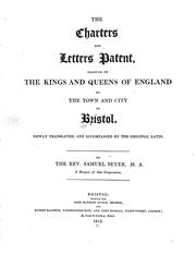

Search results from Open Library.
Recent natural events nearby
Ground air-quality sensors
Recently spotted species
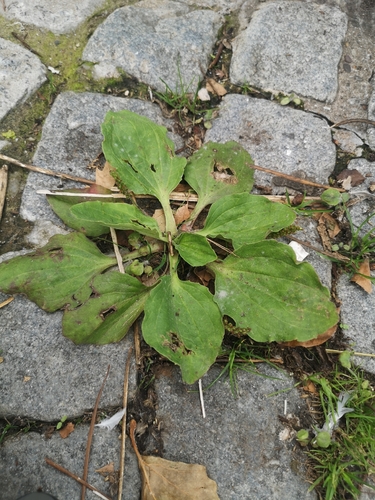
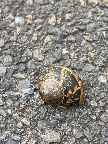
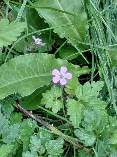
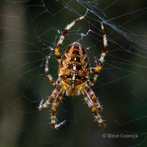
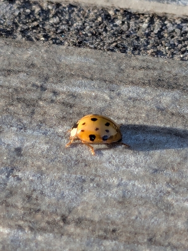
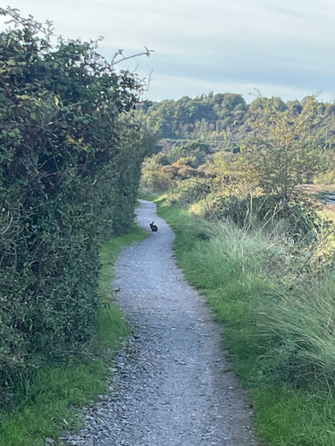
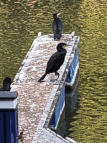
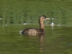
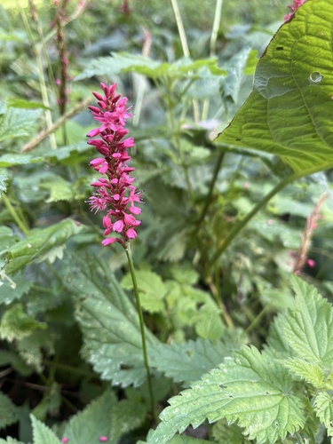
Research-grade observations from iNaturalist (within ~15 mi).
Events
Notable, recurring, and historical events associated with Bristol, sourced from Wikidata.
- Oct 26, 2013
- Oct 20, 2012
- Oct 22, 2011
- Nov 6, 2010
- Sep 26, 2009
Source: Wikidata (CC0).
Gallery
Geotagged photos within ~6 miles of Bristol, from Wikimedia Commons contributors.


.jpg)
.jpg)


Photos via Wikimedia Commons — see each image page for license & attribution.
Official Identifiers
ONS — UK Office for National Statistics
- ONS code
- osgb4000000074573839
- Local type
- City
- Region
- South West
api.postcodes.io / OS Open Names
Sources
- • Wikipedia
- • Open-Meteo (ERA5 reanalysis)
- • Wikimedia Commons
- • Wikidata
- • Open-Meteo Air Quality (CAMS)
- • USGS Earthquake Catalog (global feed)
- • GBIF (Global Biodiversity Information Facility)
- • iNaturalist
- • Open-Meteo / sunrise-sunset.org
- • Wikipedia Pageviews API
- • Open Library
- • Wikidata SPARQL (CC0) — population, area, elevation, inception, head of government, Commons image
- • ONS / OS Open Names — UK official place gazetteer, via api.postcodes.io (OS code, local type, county/unitary, district/borough, region)
- • ONS — UK Office for National Statistics — api.postcodes.io / OS Open Names