Browse / United Kingdom / England / Chelmsford
Chelmsford
Englandcity

Chelmsford
Total population
176,194
Demographic figures from UK Office for National Statistics. Overview below cites Wikipedia and may reference a different year.
City facts
Facts from Wikidata (CC0).
Overview
Chelmsford is a city in Essex, England. It is the county town of Essex and one of three cities in the county, along with Colchester and Southend-on-Sea. It is located 31 miles (50 km) north-east of Charing Cross in London, and 22 miles (35 km) south-west of Colchester. At the 2021 census the built up area had a population of 110,625. It gives its name to the wider Chelmsford local government district which also covers an extensive surrounding area.
Read more on WikipediaHistory & geography
History
Before 1199, there were settlements nearby from ancient times. The remains of a Neolithic and a late Bronze Age settlement have been found in the suburb of Springfield, and the town was occupied by the Romans. A Roman fort was built in AD 60, and a civilian town grew up around it. The town was given the name of Caesaromagus (Caesar's field or Caesar's marketplace), although the reason for it being given the great honour of bearing the Imperial prefix is now unclear – possibly indicating that it was on this site that Roman Emperor, Claudius, defeated the remaining British armies during the Roman conquest of Britain, before capturing Camulodunum. The remains of a mansio, a combination post office, civic centre and hotel, lie beneath the streets of modern Moulsham, and the ruins of an octagonal temple are located beneath the Odeon roundabout. In 2025, archaeologists from Archaeology South East found three bodies during a dig at the former Moulsham Street car park. An Anglo-Saxon burial was discovered at Broomfield to the north of Chelmsford in the late 19th century and the finds are now in the British Museum. The road 'Saxon Way' now marks the site. The city's name is derived from Ceolmaer's ford. In the Domesday Book of 1086, it was listed as Celmeresfort. The Domesday Book records that it was then owned by the Bishop of London and had four households, a mill, had three ploughing teams available to the bishop as lord of the manor, of meadow and enough woodland to support 300 pigs. It also gave its name to the wider Chelmsford hundred which covered surrounding villages. In the year 1100, Maurice, Bishop of London, commissioned the construction of a bridge over the River Can. The bridge meant the traffic flowed through the area instead of Writtle, which grew in…
Geography
From over 600,000 years ago, during the Pleistocene ice age, until the Anglian Stage around 478,000 to 424,000 years ago, the early River Thames flowed through the area where Chelmsford now stands, from Harlow to Colchester, before crossing what is now the North Sea to become a tributary of the Rhine. Consequently, gravel deposits are frequently found in the area and current and former gravel pits in the district are common. Chelmsford has two rivers, the River Can and the River Chelmer. Although often confused to be the same river in the city centre, they are quite separate until they join towards the east of the city to form the Chelmer and Blackwater Navigation which heads out towards Maldon before flowing into tidal waters at the Blackwater Estuary. In the other direction, the Chelmer comes from the north from its source near Thaxted while the Can comes from the West from Writtle where it separates from the River Wid. Until the 1960s, these rivers were extremely prone to flooding the city centre area including two disastrous floods in August 1888 (known locally as 'The Great Flood') and in September 1958 (which also badly affected nearby Wickford) causing widespread damage. Flood prevention schemes in the 1960s on both rivers have largely prevented any further incidents here although the natural floodplains to the north and east such as The 'Baddow Meads' and The 'Chelmer Valley' continue to see flooding after prolonged heavy rainfall. As with most of the UK, Chelmsford has a temperate oceanic climate (Cfb in the Köppen climate classification), however due to its proximity to continental Europe, Chelmsford enjoys warm summers and cool but not cold winters, with a relatively narrow annual temperature range and few extremes of temperature. Being in the southeast…
Excerpted from the corresponding Wikipedia article (CC BY-SA).
Geography
Coordinates & boundaries from the US Census TIGER/Line shapefiles.
Climate
Air quality
Walkability
Amenities nearby
Wildlife & biodiversity
Most-observed species
- Common Wood-PigeonColumba palumbus Linnaeus, 1758 · Aves7,409
- European RobinErithacus rubecula (Linnaeus, 1758) · Aves6,700
- Eurasian Blue TitCyanistes caeruleus (Linnaeus, 1758) · Aves6,305
- Eurasian MagpiePica pica (Linnaeus, 1758) · Aves5,538
- Eurasian BlackbirdTurdus merula Linnaeus, 1758 · Aves5,206
- Carrion CrowCorvus corone Linnaeus, 1758 · Aves4,860
- Great TitParus major Linnaeus, 1758 · Aves4,359
- Meadow BrownManiola jurtina (Linnaeus, 1758) · Insecta4,255
Citizen-science & research observations from the Global Biodiversity Information Facility (GBIF).
Earthquake history
Most recent
- M 3.1 — 2020-09-225 km N of Aylesbury, United Kingdom
- M 3.9 — 2020-09-082 km WSW of Pitstone, United Kingdom
- M 3.3 — 2019-02-273 km SE of Dorking, United Kingdom
- M 2.8 — 2018-07-051 km S of Ewhurst, United Kingdom
- M 2.6 — 2018-06-275 km W of Capel, United Kingdom
- M 2.7 — 2018-04-014 km E of Holmwood, United Kingdom
Events from the USGS Earthquake Catalog (global) (FDSN Event Web Service).
Photos
Sights & places nearby
Notable people from here


People born within ~10 km, from Wikidata (CC0). Click any name for their Wikipedia article.
Nearby places in England
Geography & sun
Elevation, sunrise/sunset and daylight from Open-Meteo. Solar climatology from NASA POWER.
Nearby airports
Public attention
Pageview totals from the Wikimedia Pageviews API.
Books about Chelmsford
Search results from Open Library.
Recent natural events nearby
Ground air-quality sensors
Recently spotted species
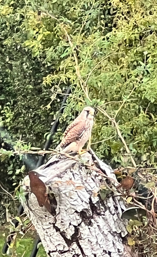
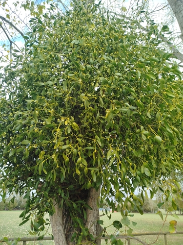
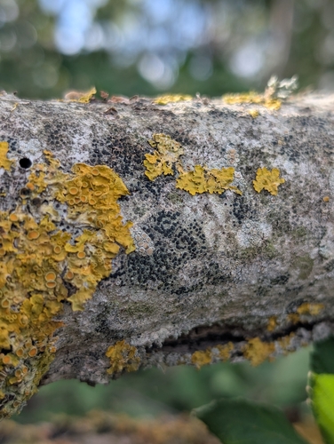
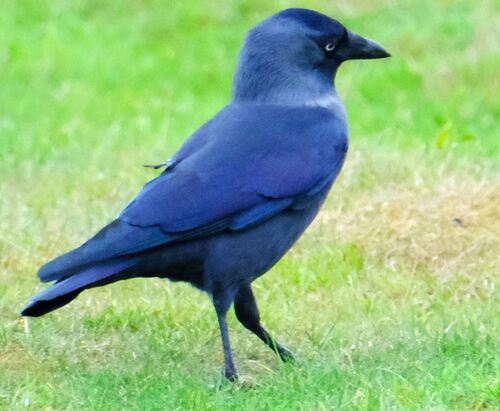
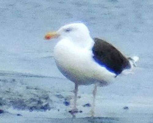
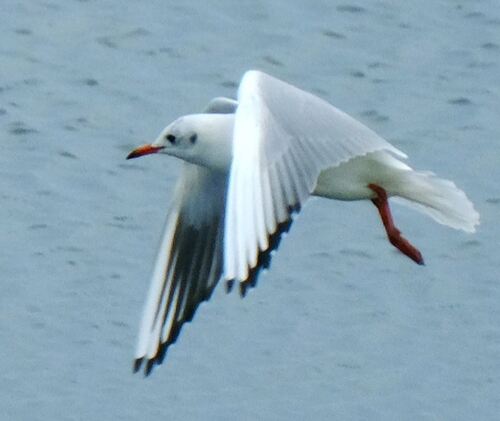
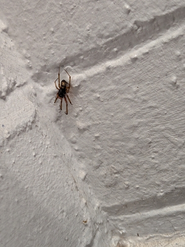
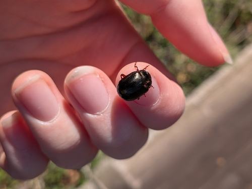
Research-grade observations from iNaturalist (within ~15 mi).
Events
Gallery
Official Identifiers
ONS — UK Office for National Statistics
- ONS code
- osgb4000000074541699
- Local type
- City
- Region
- Eastern
api.postcodes.io / OS Open Names
Sources
- • Wikipedia
- • Wikidata
- • USGS Earthquake Catalog (global feed)
- • GBIF (Global Biodiversity Information Facility)
- • iNaturalist
- • Open-Meteo / sunrise-sunset.org
- • Wikipedia Pageviews API
- • Open Library
- • Wikidata SPARQL (CC0) — population, area, elevation, inception, head of government, Commons image
- • ONS / OS Open Names — UK official place gazetteer, via api.postcodes.io (OS code, local type, county/unitary, district/borough, region)
- • ONS — UK Office for National Statistics — api.postcodes.io / OS Open Names