Browse / United Kingdom / England / Gateshead
Gateshead
Englandtown

Gateshead
Total population
196,151
Demographic figures from UK Office for National Statistics. Overview below cites Wikipedia and may reference a different year.
City facts
Sister cities
Facts from Wikidata (CC0).
Overview
Gateshead is a town in the Gateshead Metropolitan Borough of Tyne and Wear, England. It is on the River Tyne's southern bank. At the 2021 census, the population was 196,151.
Read more on WikipediaHistory & geography
History
There has been a settlement on the Gateshead side of the River Tyne, around the old river crossing where the Swing Bridge now stands, since Roman times. The first recorded mention of Gateshead is in the writings of the Venerable Bede who referred to an Abbot of Gateshead called Utta in 623. In 875, Vikings under Halfdan Ragnarsson sailed into the River Tyne and sacked monasteries at Tynemouth and Jarrow, before setting up camp at Gateshead. In 1068 William the Conqueror defeated the forces of Edgar the Ætheling and Malcolm king of Scotland (Shakespeare's Malcolm) on Gateshead Fell (now Low Fell and Sheriff Hill). During medieval times Gateshead was under the jurisdiction of the Bishop of Durham. At this time the area was largely forest with some agricultural land. The forest was the subject of Gateshead's first charter, granted in the 12th century by Hugh du Puiset, Bishop of Durham. An alternative spelling may be "Gatishevede", as seen in a legal record, dated 1430. In 1747, the Team Works of the Hawks family opened in Gateshead with a few forges working up old iron brought in as ballast. In 1750, Russell was launched by Headlam's yard at Gateshead, the largest vessel built on the Tyne up to that time, able to carry 30 keels of coal. Throughout the Industrial Revolution the population of Gateshead expanded rapidly; between 1801 and 1901 the increase was over 100,000. This expansion resulted in the spread southwards of the town. In 1854, a catastrophic explosion on the quayside destroyed most of Gateshead's medieval heritage, and caused widespread damage on the Newcastle side of the river. Sir Joseph Swan lived at Underhill, Low Fell, Gateshead from 1869 to 1883, where his experiments led to the invention of the electric light bulb. The house was the first in the…
Geography
The town of Gateshead is in the North East of England in the ceremonial county of Tyne and Wear, and within the historic boundaries of County Durham. It is located on the southern bank of the River Tyne at a latitude of 54.57° N and a longitude of 1.35° W. Gateshead experiences a temperate climate which is considerably warmer than some other locations at similar latitudes as a result of the warming influence of the Gulf Stream (via the North Atlantic drift). It is located in the rain shadow of the North Pennines and is therefore in one of the driest regions of the United Kingdom. One of the most distinguishing features of Gateshead is its topography. The land rises from Gateshead Quays to the town centre and continues rising to a height of at Queen Elizabeth Hospital in Sheriff Hill. This is in contrast to the flat and low lying Team Valley located on the western edges of town. The high elevations allow for impressive views over the Tyne valley into Newcastle and across Tyneside to Sunderland and the North Sea from lookouts in Windmill Hills and Windy Nook respectively. The Office for National Statistics defines the town as an urban sub-division. The 2011 ONS urban sub-division of Gateshead contains the historical County Borough together with areas that the town has absorbed, including Dunston, Felling, Heworth, Pelaw and Bill Quay. Given the proximity of Gateshead to Newcastle, just south of the River Tyne from the city centre, it is sometimes incorrectly referred to as being a part of Newcastle. Gateshead Council and Newcastle City Council teamed up in 2000 to create a unified marketing brand name, NewcastleGateshead, to better promote the whole of the Tyneside conurbation. Climate in this area has small differences between highs and lows, and there is adequate…
Excerpted from the corresponding Wikipedia article (CC BY-SA).
Geography
Coordinates & boundaries from the US Census TIGER/Line shapefiles.
Climate
10-year averages from ERA5 reanalysis (Open-Meteo).
Air quality
Walkability
Amenities nearby
Wildlife & biodiversity
Earthquake history
Photos
Sights & places nearby
Notable people from here


People born within ~10 km, from Wikidata (CC0). Click any name for their Wikipedia article.
Nearby places in England
Geography & sun
Elevation, sunrise/sunset and daylight from Open-Meteo. Solar climatology from NASA POWER.
Nearby airports
Public attention
Pageview totals from the Wikimedia Pageviews API.
Books about Gateshead

Search results from Open Library.
Recent natural events nearby
Ground air-quality sensors
Recently spotted species
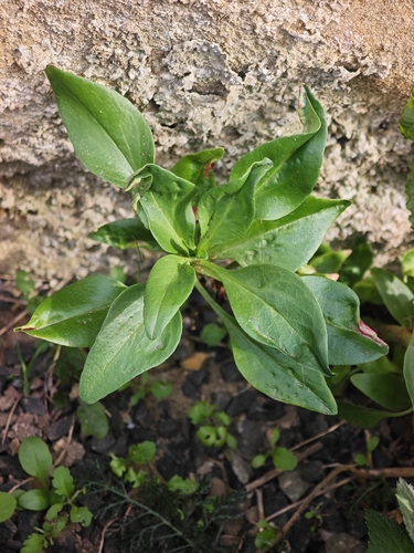
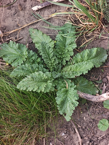
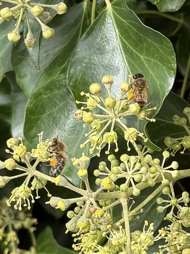
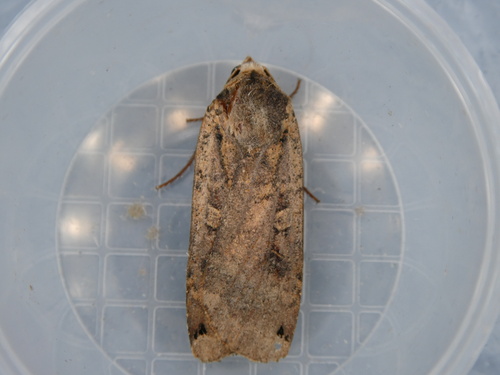
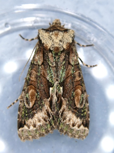
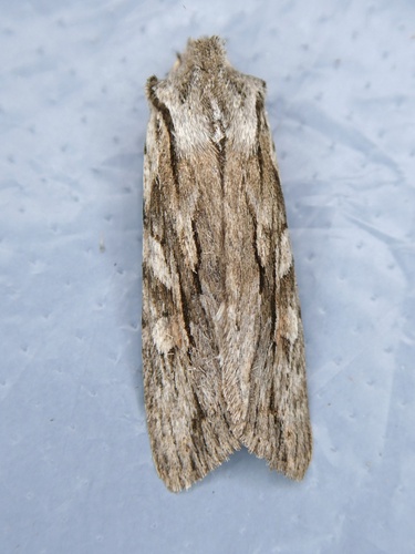
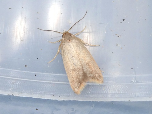
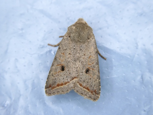
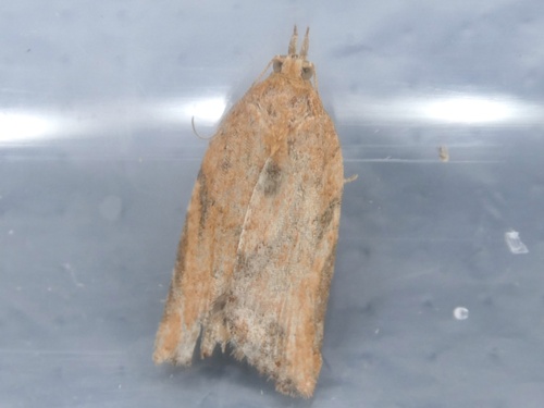
Research-grade observations from iNaturalist (within ~15 mi).
Events
Notable, recurring, and historical events associated with Gateshead, sourced from Wikidata.
- 1983 IAAF World Cross Country Championships – senior men's raceMar 20, 1983sporting event
international athletics championship event
- 1983 IAAF World Cross Country Championships – junior men's raceJan 1, 1983sporting event
international athletics championship event
- 1983 IAAF World Cross Country Championships – senior women's raceJan 1, 1983sporting event
international athletics championship event
Source: Wikidata (CC0).
Gallery
Official Identifiers
ONS — UK Office for National Statistics
- ONS code
- osgb4000000074551209
- Local type
- Town
- Region
- North East
api.postcodes.io / OS Open Names
Sources
- • Wikipedia
- • Open-Meteo (ERA5 reanalysis)
- • Wikidata
- • iNaturalist
- • Open-Meteo / sunrise-sunset.org
- • Wikipedia Pageviews API
- • Open Library
- • Wikidata SPARQL (CC0) — population, area, elevation, inception, head of government, Commons image
- • ONS / OS Open Names — UK official place gazetteer, via api.postcodes.io (OS code, local type, county/unitary, district/borough, region)
- • ONS — UK Office for National Statistics — api.postcodes.io / OS Open Names