Browse / United Kingdom / England / Kington
Kington
Englandtown

Kington
Total population
3,000
Demographic figures from UK Office for National Statistics. Overview below cites Wikipedia and may reference a different year.
City facts
Overview
Kington is a market town and civil parish in Herefordshire, England. The parish had a population of 3,240.
Read more on WikipediaHistory & geography
History
The name Kington is derived from 'King's-ton', being Anglo-Saxon for "King's Town", similar to other nearby towns such as Presteigne meaning "Priest's Town" and Knighton being "Knight's Town". The land on which Kington is sited was held by Anglo-Saxons in 1066, but devastated. After the Norman Conquest Kington then passed to the Crown on the downfall in 1075 of Roger de Breteuil, 2nd Earl of Hereford. Before 1121, King Henry I gave Kington to Adam de Port, who founded a new Marcher barony in this part of the early Welsh Marches. Kington seems to have been a quiet barony and was associated with the office of sheriff of Hereford. In 1172, Adam de Port, probably the great-grandson of Henry Port, rebelled and fled the country. He returned in 1174 with a Scottish army, only to flee from the resulting Battle of Alnwick to the great mirth of the Norman court. With this his barony of Kington was taken by the Crown and became an appurtenance of the office of Sheriff of Hereford, finally being granted to William de Braose, 4th Lord of Bramber in 1203 for £100. The castle then saw action in the Braose Wars against King John, and is likely to have been destroyed by royal forces in August 1216. Within a few years a new fortress was commenced and the nearby Huntington Castle and Kington Castle were abandoned. All that remains of Kington Castle today is a great outcrop of rock topped by a few fragmentary earthworks. The old town clustered around the castle and Norman church on top of a defensive hill above the River Arrow. ‘Chingtune' was recorded in the Domesday Book in 1086, the name meaning 'king's town or manor', high on the hill above the town where St. Mary's Church now stands. The new Kington, called Kyneton in the Fields, was laid out between 1175 and 1230 on land bordering…
Geography
Kington is from the border with Wales, and lies on the western side of Offa's Dyke. The town is in the shadow of Hergest Ridge, and on the River Arrow, where it is crossed by the A44 road. It is northwest of Hereford, the county town. Nearby towns include Presteigne, Builth Wells, Knighton and Leominster. The centre of the town is situated at above sea level. The civil parish covers an area of .
Excerpted from the corresponding Wikipedia article (CC BY-SA).
Geography
Coordinates & boundaries from the US Census TIGER/Line shapefiles.
Climate
Air quality
Walkability
Amenities nearby
Wildlife & biodiversity
Most-observed species
- Eurasian BlackbirdTurdus merula Linnaeus, 1758 · Aves625
- Common Wood-PigeonColumba palumbus Linnaeus, 1758 · Aves611
- European RobinErithacus rubecula (Linnaeus, 1758) · Aves607
- Carrion CrowCorvus corone Linnaeus, 1758 · Aves532
- Eurasian Blue TitCyanistes caeruleus (Linnaeus, 1758) · Aves528
- Common BuzzardButeo buteo (Linnaeus, 1758) · Aves425
- Eurasian WrenTroglodytes troglodytes (Linnaeus, 1758) · Aves421
- Common ChaffinchFringilla coelebs Linnaeus, 1758 · Aves399
Citizen-science & research observations from the Global Biodiversity Information Facility (GBIF).
Earthquake history
Most recent
- M 3.4 — 2023-02-241 km ENE of Brynmawr, United Kingdom
- M 3.6 — 2022-05-302 km ESE of Prees, United Kingdom
- M 3.2 — 2022-02-215 km N of Hockley, United Kingdom
- M 4.3 — 2018-02-175 km NE of Clydach, United Kingdom
- M 3.9 — 2008-10-262 km N of Bromyard, United Kingdom
- M 3.3 — 2007-11-304 km NNE of Llanrhaeadr-ym-Mochnant, United Kingdom
Events from the USGS Earthquake Catalog (global) (FDSN Event Web Service).
Photos
Sights & places nearby
Notable people from here
Nearby places in England
Geography & sun
Elevation, sunrise/sunset and daylight from Open-Meteo. Solar climatology from NASA POWER.
Nearby airports
Public attention
Pageview totals from the Wikimedia Pageviews API.
Books about Kington

![[Report 1965-1969]](https://covers.openlibrary.org/b/id/13423157-M.jpg)


Search results from Open Library.
Recent natural events nearby
Ground air-quality sensors
Recently spotted species
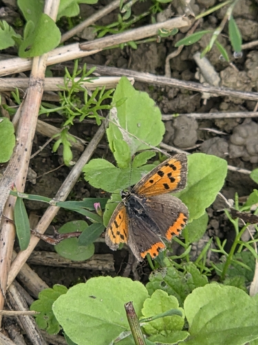




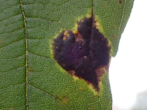



Research-grade observations from iNaturalist (within ~15 mi).
Events
Gallery
Official Identifiers
ONS — UK Office for National Statistics
- ONS code
- osgb4000000074560359
- Local type
- Town
- Region
- West Midlands
api.postcodes.io / OS Open Names
Sources
- • Wikipedia
- • USGS Earthquake Catalog (global feed)
- • GBIF (Global Biodiversity Information Facility)
- • iNaturalist
- • Open-Meteo / sunrise-sunset.org
- • Wikipedia Pageviews API
- • Open Library
- • ONS / OS Open Names — UK official place gazetteer, via api.postcodes.io (OS code, local type, county/unitary, district/borough, region)
- • ONS — UK Office for National Statistics — api.postcodes.io / OS Open Names