Browse / United Kingdom / England / Leeds
Leeds
Englandcity

Leeds
Total population
766,399
Air quality index
Demographic figures from UK Office for National Statistics. Overview below cites Wikipedia and may reference a different year.
City facts
Facts from Wikidata (CC0).
Overview
Leeds is a city in West Yorkshire, England. It is the largest settlement in Yorkshire and the administrative centre of the City of Leeds Metropolitan Borough, which is the second most populous district in the United Kingdom. It is built around the River Aire and is in the eastern foothills of the Pennines. The city was a small manorial borough in the 13th century and a market town in the 16th century. Leeds expanded in the 17th and 18th centuries by becoming a major production and trading centre. It was awarded a city charter in 1893 by Queen Victoria.
Read more on WikipediaHistory & geography
History
Leeds developed as a market town in the Middle Ages, as part of the local agricultural economy. Before the Industrial Revolution, it became a co-ordination centre for the manufacture of woollen cloth, and white broadcloth was traded at its White Cloth Hall. Leeds handled one-sixth of England's export trade in 1770. Growth, initially in textiles, was accelerated by the creation of the Aire and Calder Navigation in 1699 (with major additional works in the 18th century), and the Leeds and Liverpool Canal in 1816. In the late Georgian era, William Lupton was one of a number of central Leeds landowners, some of whom, like him, were also textile manufacturers. At the time of his death in 1828, Lupton occupied the enclosed fields of the manor of Leeds, his estate including a mill, reservoir, substantial house and outbuildings. Mechanical engineering, initially supplying tools and machinery for the textile sector, rapidly became a diverse industry. The railway network constructed around Leeds, starting with the Leeds and Selby Railway in 1834, provided improved communications with national markets and, significantly for its development, an east–west connection with Manchester and the ports of Liverpool and Hull giving improved access to international markets. Alongside technological advances and industrial expansion, Leeds retained an interest in trading in agricultural commodities, with the Corn Exchange opening in 1864. Marshall's Mill was one of the first of many factories constructed in Leeds from around 1790 when the most significant were woollen finishing and flax mills. Manufacturing diversified by 1914 towards printing, engineering, chemicals and clothing manufacture. Decline in manufacturing during the 1930s was temporarily reversed by a switch to producing…
Geography
At (53.799°, −1.549°), and north-northwest of central London, central Leeds is located on the River Aire in a narrow section of the Aire Valley in the eastern foothills of the Pennines. The city centre lies at about above sea level while the district ranges from in the far west on the slopes of Ilkley Moor to about where the rivers Aire and Wharfe cross the eastern boundary. The centre of Leeds is part of a continuously built-up area extending to Pudsey, Bramley, Horsforth, Alwoodley, Seacroft, Middleton and Morley. Leeds has the second highest population of any local authority district in the UK (after Birmingham), and the second greatest area of any English metropolitan district (after Doncaster), extending from east to west, and from north to south. The northern boundary follows the River Wharfe for several miles but crosses the river to include the part of Otley which lies north of the river. Over 60% of the Leeds district is green belt land and the city centre is less than twenty miles () from the Yorkshire Dales National Park, which has some of the most spectacular scenery and countryside in the UK. Inner and southern areas of Leeds lie on a layer of coal measure sandstones. To the north parts are built on older sandstone and gritstones and to the east it extends into the magnesian limestone belt. The land use in the central areas of Leeds is overwhelmingly urban. Attempts to define the exact geographic meaning of Leeds lead to a variety of concepts of its extent, varying by context include the area of the city centre, the urban sprawl, the administrative boundaries, and the functional region.{{blockquote|Leeds is much more a generalised concept place name in inverted commas, it is the city, but it is also the commuter villages and the region as well.…
Excerpted from the corresponding Wikipedia article (CC BY-SA).
Geography
Coordinates & boundaries from the US Census TIGER/Line shapefiles.
Climate
10-year averages from ERA5 reanalysis (Open-Meteo).
Air quality
Current readings from Open-Meteo Air Quality API (Copernicus CAMS European reanalysis).
Walkability
Amenities nearby
Wildlife & biodiversity
Most-observed species
- Common Wood-PigeonColumba palumbus Linnaeus, 1758 · Aves13,765
- Eurasian MagpiePica pica (Linnaeus, 1758) · Aves12,406
- Carrion CrowCorvus corone Linnaeus, 1758 · Aves11,510
- Eurasian BlackbirdTurdus merula Linnaeus, 1758 · Aves10,698
- European RobinErithacus rubecula (Linnaeus, 1758) · Aves10,071
- Eurasian Blue TitCyanistes caeruleus (Linnaeus, 1758) · Aves9,661
- Black-headed GullChroicocephalus ridibundus (Linnaeus, 1766) · Aves9,585
- MallardAnas platyrhynchos Linnaeus, 1758 · Aves9,565
Citizen-science & research observations from the Global Biodiversity Information Facility (GBIF).
Earthquake history
Most recent
- M 3.4 — 2025-12-030 km ESE of Carnforth, United Kingdom
- M 2.7 — 2023-06-282 km SE of Cheadle, United Kingdom
- M 2.8 — 2020-01-231 km NW of Stockton-on-Tees, United Kingdom
- M 2.6 — 2014-10-282 km NNE of Hucknall, United Kingdom
- M 3.6 — 2011-01-035 km S of Masham, United Kingdom
- M 3 — 2009-04-115 km ENE of Goxhill, United Kingdom
Events from the USGS Earthquake Catalog (global) (FDSN Event Web Service).
Photos
Sights & places nearby
Notable people from here


People born within ~10 km, from Wikidata (CC0). Click any name for their Wikipedia article.
Nearby places in England
Geography & sun
Elevation, sunrise/sunset and daylight from Open-Meteo. Solar climatology from NASA POWER.
Nearby airports
Public attention
Pageview totals from the Wikimedia Pageviews API.
Books about Leeds
Search results from Open Library.
Recent natural events nearby
Ground air-quality sensors
Recently spotted species
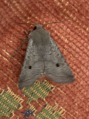
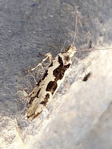
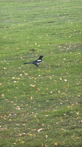
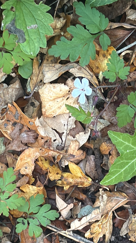
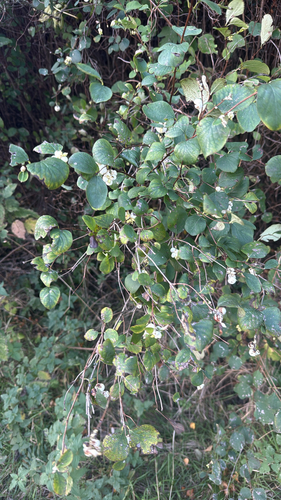
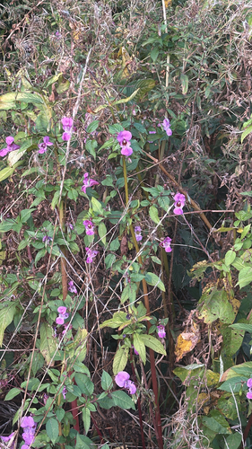
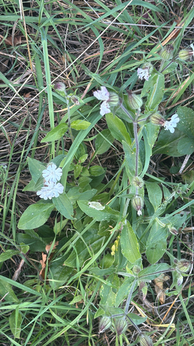
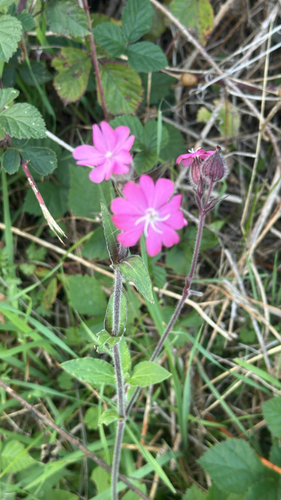
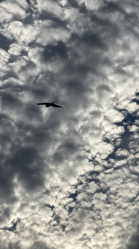
Research-grade observations from iNaturalist (within ~15 mi).
Events
Notable, recurring, and historical events associated with Leeds, sourced from Wikidata.
- Christmas on Earth Festivalfestival
- Wars of the RosesOct 2, 1913sporting event
Source: Wikidata (CC0).
Gallery
Geotagged photos within ~6 miles of Leeds, from Wikimedia Commons contributors.


.jpg)
.jpg)
.jpg)
.jpg)
.jpg)


Photos via Wikimedia Commons — see each image page for license & attribution.
Official Identifiers
ONS — UK Office for National Statistics
- ONS code
- osgb4000000074572682
- Local type
- City
- Region
- Yorkshire and the Humber
api.postcodes.io / OS Open Names
Sources
- • Wikipedia
- • Open-Meteo (ERA5 reanalysis)
- • Wikimedia Commons
- • Wikidata
- • Open-Meteo Air Quality (CAMS)
- • USGS Earthquake Catalog (global feed)
- • GBIF (Global Biodiversity Information Facility)
- • iNaturalist
- • Open-Meteo / sunrise-sunset.org
- • Wikipedia Pageviews API
- • Open Library
- • Wikidata SPARQL (CC0) — population, area, elevation, inception, head of government, Commons image
- • ONS / OS Open Names — UK official place gazetteer, via api.postcodes.io (OS code, local type, county/unitary, district/borough, region)
- • ONS — UK Office for National Statistics — api.postcodes.io / OS Open Names