Browse / United Kingdom / England / Northfleet
Northfleet
Englandtown

Northfleet
Total population
29,900
Demographic figures from UK Office for National Statistics. Overview below cites Wikipedia and may reference a different year.
City facts
Overview
Northfleet is a town in the borough of Gravesham in Kent, England. It is located immediately west of Gravesend, and on the border with the Borough of Dartford. Northfleet has its own railway station on the North Kent Line, just east of Ebbsfleet International railway station on the High Speed 1 line. According to the 2021 census, Northfleet has a population of 29,900.
Read more on WikipediaHistory & geography
History
In 1815 the first steamboat started plying between Gravesend, Kent, and London, an event which was to bring much prosperity to the area. The number of visitors steadily increased, and in the course of the next ten years several new and rival steam packets were started. The regular service led entrepreneurs to establish amenities for the entertainment of visitors, one of which was Rosherville Gardens. George Jones laid out the gardens in 1837 in one of the disused chalk pits, covering an area of 17 acres (69,000 m2). Their full title was the 'Kent Zoological and Botanical Gardens Institution'. They occupied an area in what was to become Rosherville New Town (see below). Robert Hiscock, in his A History of Gravesend (Phillimore, 1976) describes them thus: They were a place of surpassing beauty and a favourite resort of Londoners. Adorned with small Greek temples and statuary set in the cliffs, there were terraces, and archery lawn, Bijou theatre, and Baronial Hall for refreshments, and at one time a lake. At night the gardens were illuminated with thousands of coloured lights and there were fireworks displays and dancing. Famous bands such as the American Sousa were engaged during the season. Blondin, the trapeze artist, performed ... In 1857 as many as 20,000 visitors passed through the turnstiles in one week. By 1880 the gardens had reached the peak of their popularity ... in 1901 they were closed. During a brief revival 1903–1911, they were used in the making of early films. A pier was built to carry these crowds ashore, and a railway station opened on the Gravesend West branch railway. It was one of the steamboats from Rosherville Gardens that was involved in a horrific accident in 1878. The passenger steamer, after leaving Rosherville pier, was in a…
Excerpted from the corresponding Wikipedia article (CC BY-SA).
Geography
Coordinates & boundaries from the US Census TIGER/Line shapefiles.
Climate
Air quality
Walkability
Amenities nearby
Wildlife & biodiversity
Earthquake history
Photos
Sights & places nearby
Notable people from here


People born within ~10 km, from Wikidata (CC0). Click any name for their Wikipedia article.
Nearby places in England
Geography & sun
Elevation, sunrise/sunset and daylight from Open-Meteo. Solar climatology from NASA POWER.
Nearby airports
Public attention
Pageview totals from the Wikimedia Pageviews API.
Books about Northfleet


![[Report 1962-1963]](https://covers.openlibrary.org/b/id/13415165-M.jpg)
![[Report 1964-1966]](https://covers.openlibrary.org/b/id/13376635-M.jpg)
![[Report 1958-1959]](https://covers.openlibrary.org/b/id/13429603-M.jpg)
Search results from Open Library.
Recent natural events nearby
Ground air-quality sensors
Recently spotted species






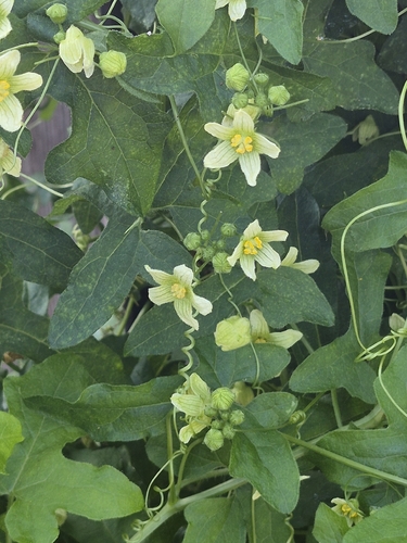
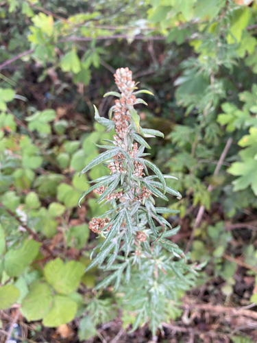
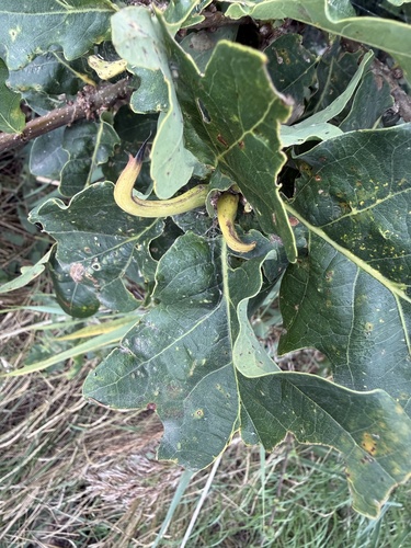
Research-grade observations from iNaturalist (within ~15 mi).
Events
Gallery
Official Identifiers
ONS — UK Office for National Statistics
- ONS code
- osgb4000000074574000
- Local type
- Town
- Region
- South East
api.postcodes.io / OS Open Names
Sources
- • Wikipedia
- • Wikidata
- • iNaturalist
- • Open-Meteo / sunrise-sunset.org
- • Wikipedia Pageviews API
- • Open Library
- • Wikidata SPARQL (CC0) — population, area, elevation, inception, head of government, Commons image
- • ONS / OS Open Names — UK official place gazetteer, via api.postcodes.io (OS code, local type, county/unitary, district/borough, region)
- • ONS — UK Office for National Statistics — api.postcodes.io / OS Open Names